MyTopo
Classic USGS Palisades Washington 7.5'x7.5' Topo Map
Couldn't load pickup availability
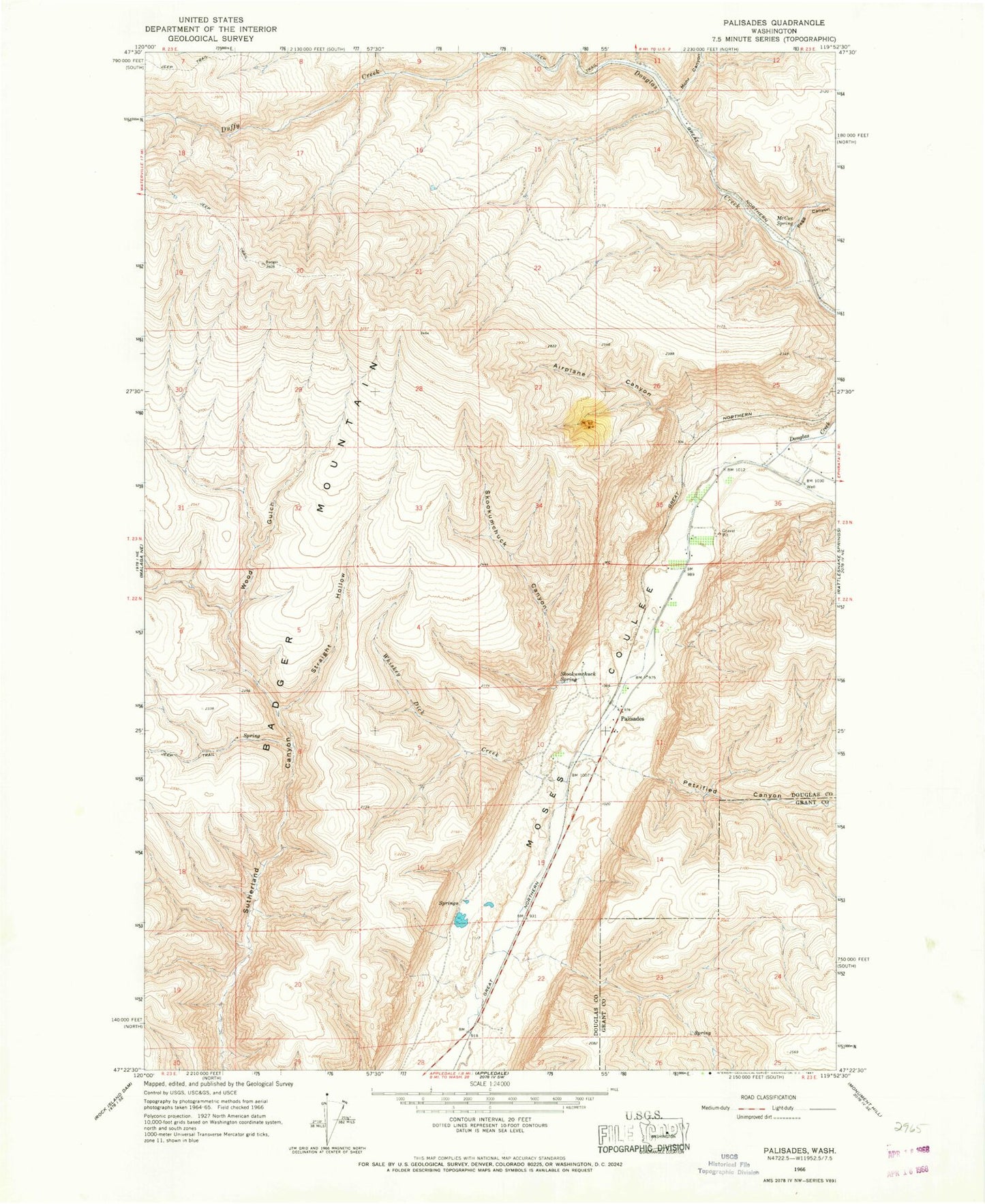
Historical USGS topographic quad map of Palisades in the state of Washington. Map scale may vary for some years, but is generally around 1:24,000. Print size is approximately 24" x 27"
This quadrangle is in the following counties: Douglas, Grant.
The map contains contour lines, roads, rivers, towns, and lakes. Printed on high-quality waterproof paper with UV fade-resistant inks, and shipped rolled.
Contains the following named places: Adrian, Airplane Canyon, Duffy Creek, McCue Spring, McCue Station, Mohr Canyon, Palisades, Palisades Elementary School, Palisades Post Office, Pegg Canyon, Petrified Canyon, Skookumchuck Canyon, Skookumchuck Spring, Slack Canyon, Straight Hollow, Whiskey Dick Creek, Wood Gulch, ZIP Code: 98845