MyTopo
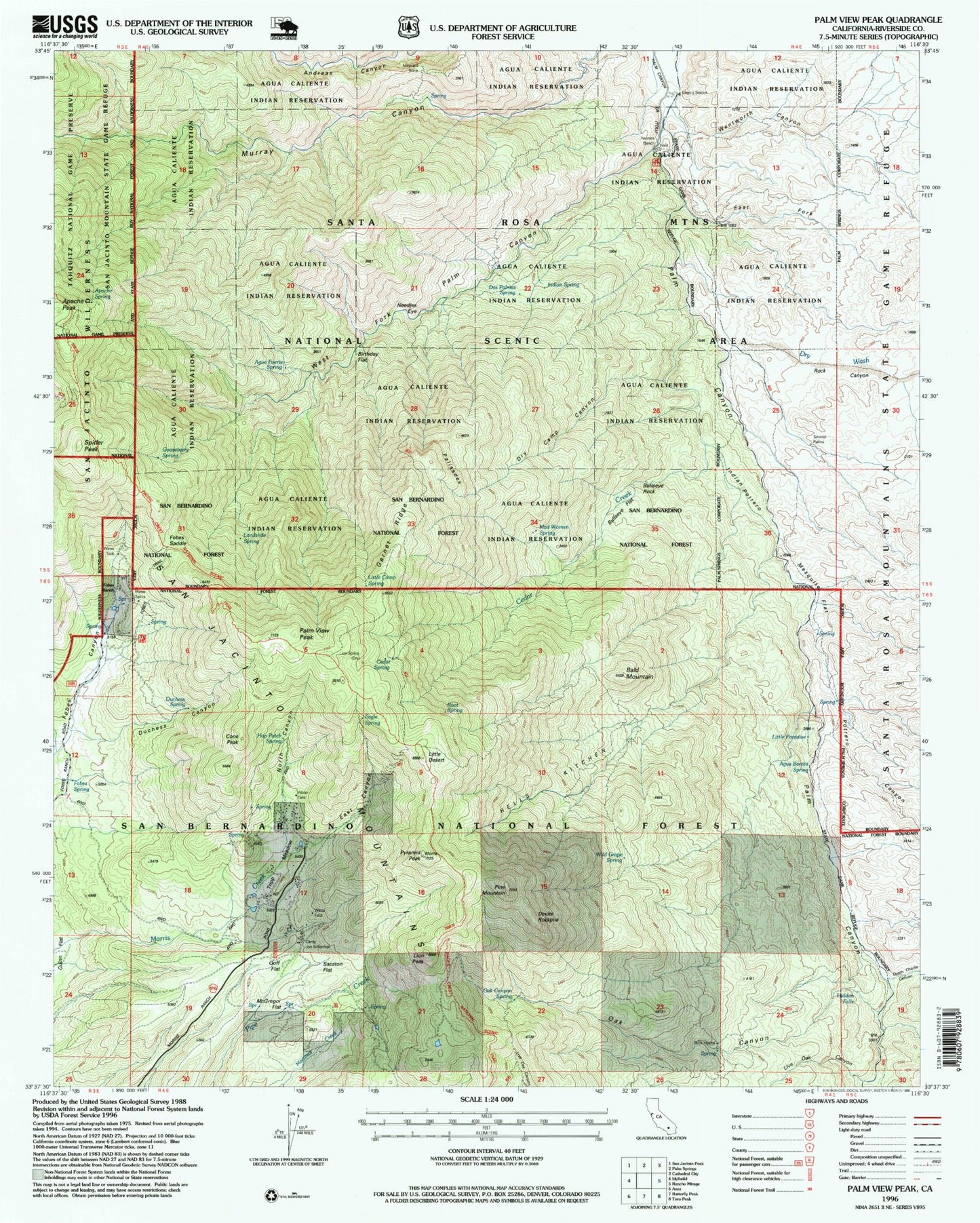
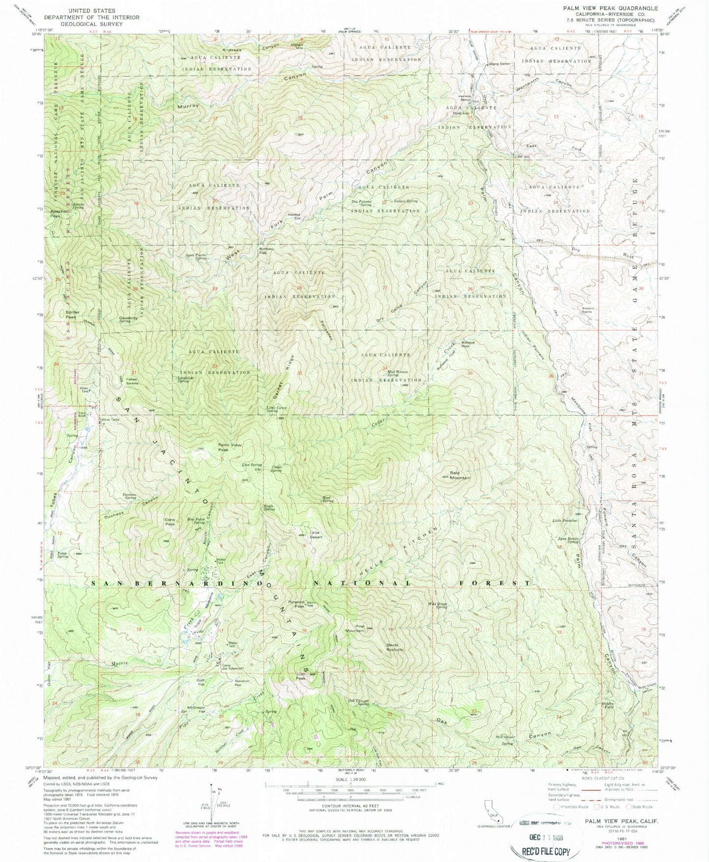
Classic USGS Palm View Peak California 7.5'x7.5' Topo Map
Couldn't load pickup availability
Historical USGS topographic quad map of Palm View Peak in the state of California. Typical map scale is 1:24,000, but may vary for certain years, if available. Print size: 24" x 27"
This quadrangle is in the following counties: Riverside.
The map contains contour lines, roads, rivers, towns, and lakes. Printed on high-quality waterproof paper with UV fade-resistant inks, and shipped rolled.
Contains the following named places: Agua Bonita Spring, Agua Fuerte Spring, Apache Spring, Bald Mountain, Bulls Eye Rock, Cedar Spring, Desert Divide Trail, Duchess Canyon, Eagle Spring, East Fork Palm Canyon, Fobes Ranch, Garnet Ridge, Goff Flat, Gooseberry Spring, Hells Kitchen, Hermits Bench, Hidden Falls, Hop Patch Spring, Indian Potrero, Indian Spring, Landslide Spring, Lion Peak, Lion Spring, Little Camp Spring, Little Desert, Mad Woman Spring, McGregor Flat, Mesquite Flat, Morris Ranch, Needles Eye, Oak Canyon, Pine Mountain, Pyramid Peak, Root Spring, Sacaton Flat, Tripp Meadow, West Fork Palm Canyon, Dutch Charlie Canyon, Potrero Canyon, Live Oak Canyon, Rock Canyon, Wentworth Canyon, Dry Wash, Cone Peak, Devils Rockpile, Little Paradise, Palm View Peak, Spitler Peak, Birthday Flat, Bullseye Flat, Camp Joe Scherman, Cedar Creek, Dos Palmas Spring, Dry Camp Canyon, Duchess Spring, Fobes Saddle, Fobes Spring, Maynard Mine, Oak Canyon Spring, Rock House, Sirocco Palms, Wild Grape Spring, Palm Canyon Creek Wild and Scenic River, North Canyon, East Canyon