MyTopo
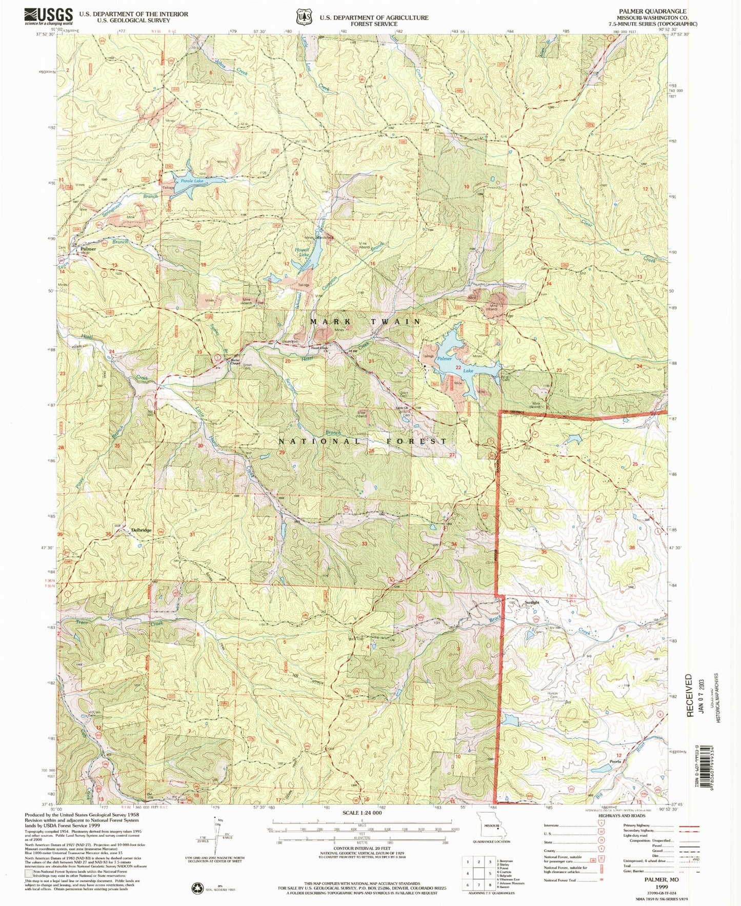
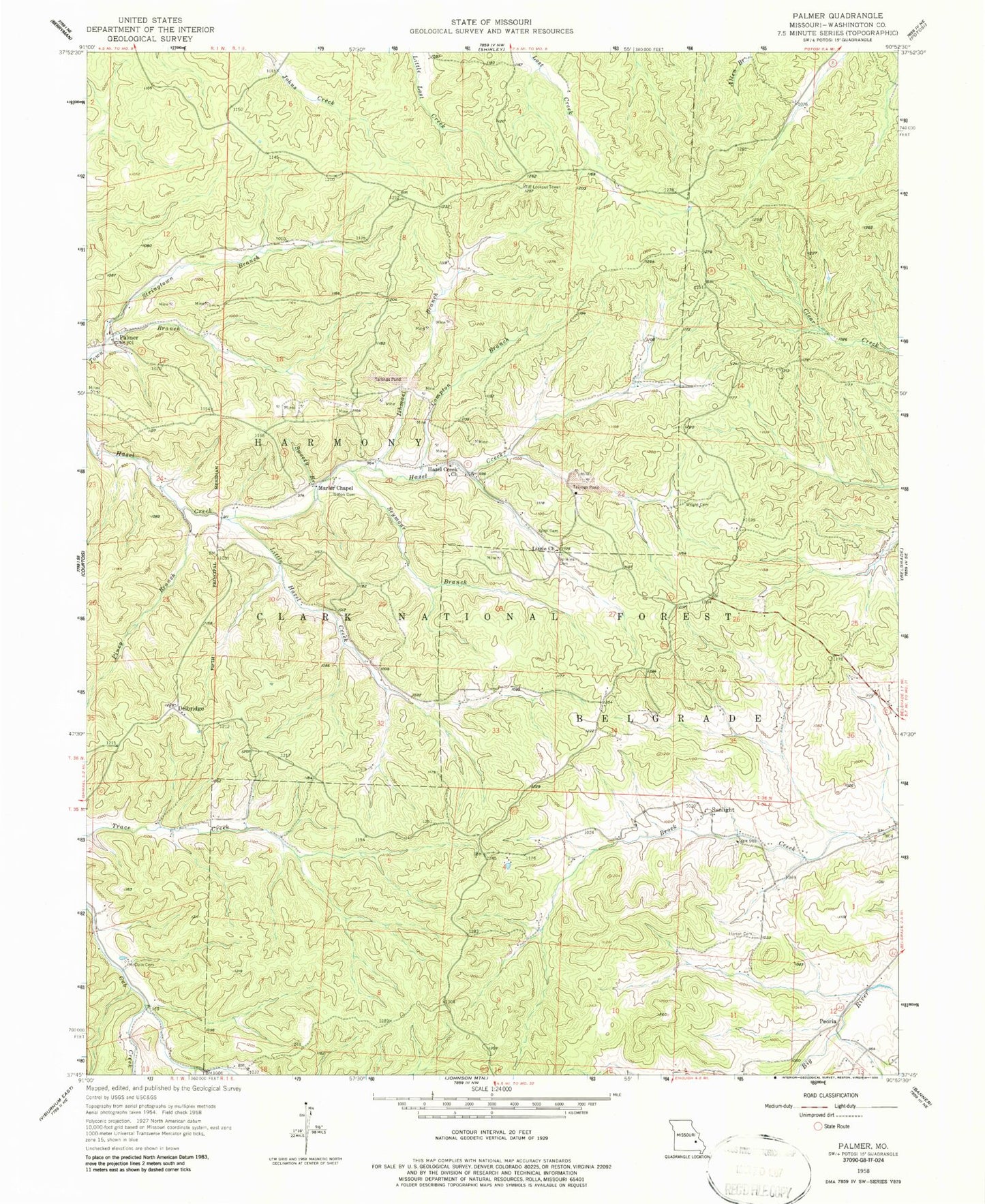
Classic USGS Palmer Missouri 7.5'x7.5' Topo Map
Couldn't load pickup availability
Historical USGS topographic quad map of Palmer in the state of Missouri. Typical map scale is 1:24,000, but may vary for certain years, if available. Print size: 24" x 27"
This quadrangle is in the following counties: Washington.
The map contains contour lines, roads, rivers, towns, and lakes. Printed on high-quality waterproof paper with UV fade-resistant inks, and shipped rolled.
Contains the following named places: Turkey Hill Lead Diggings, Trash Lead Diggings, Tarkey Lead Diggings, Sweassey Lead Diggings, Strawberry Lead Diggings, Pigeon-Roost Lead Mine, Peru Lead Diggings, Parole Lead Diggings, Palmer School (historical), Montgomery Lead Diggings, Madden Hill Lead Diggings, Hypocrite Lead Diggings, Ismael Lead Diggings, Grave-Yard Lead Diggings, Gopher Lead Diggings, Flint Hill Lead Diggings, English Lead Diggings, Daylight Lead Diggings, Cochran Lead Diggings, Clemins Lead Diggings, Booth Lead Diggings, Blackwell Lead Diggings, Bit Lead Diggings, Horton Town, Pine City School (historical), Sitton School (historical), Thomas School (historical), Horton School (historical), Compton Branch, Delbridge, Hazel Creek Church, Horton Cemetery, Ishmael Branch, Jenkins Family Cemetery, Little Hazel Creek, Lizzie Church, Marler Chapel, McClain Cemetery, Palmer, Peoria, Piney Branch, Scott Cemetery, Seymour Branch Hazel Creek, Sitton Cemetery, Stringtown Branch, Sunlight, Sweezy Branch, Wright Cemetery, Tiff Lookout Tower, Trace Creek Trail, Howell Lake, Parole Lake, Palmer Lake, Palmer Mine Dam, Parole Mine Dam, Howell Mine Dam, Gudaitis Lake Dam, Gudaitis Lake, Schnelle Lake Dam, Township of Belgrade, Sunlight Cemetery, Hazel Creek Cemetery, Palmer Cemetery, Sunlight Church, Mount Zion Church (historical)


