MyTopo
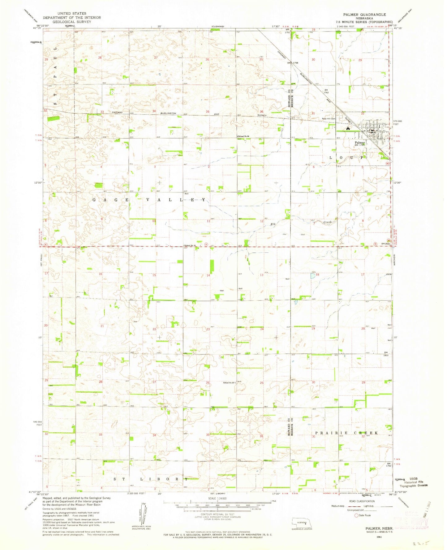
Classic USGS Palmer Nebraska 7.5'x7.5' Topo Map
Couldn't load pickup availability
Historical USGS topographic quad map of Palmer in the state of Nebraska. Map scale may vary for some years, but is generally around 1:24,000. Print size is approximately 24" x 27"
This quadrangle is in the following counties: Howard, Merrick.
The map contains contour lines, roads, rivers, towns, and lakes. Printed on high-quality waterproof paper with UV fade-resistant inks, and shipped rolled.
Contains the following named places: Coolidge Center Nursing Home, First Church of Christ, Gage Valley Election Precinct, Palmer, Palmer Post Office, Palmer Public Library, Palmer Public Schools, Palmer Rural Fire District, Rose Hill Cemetery, Saint Johns Lutheran Church, School Number 19, School Number 39, School Number 64, Township of Gage Valley, United Methodist Church, Village of Palmer, Wesleyan Church