MyTopo
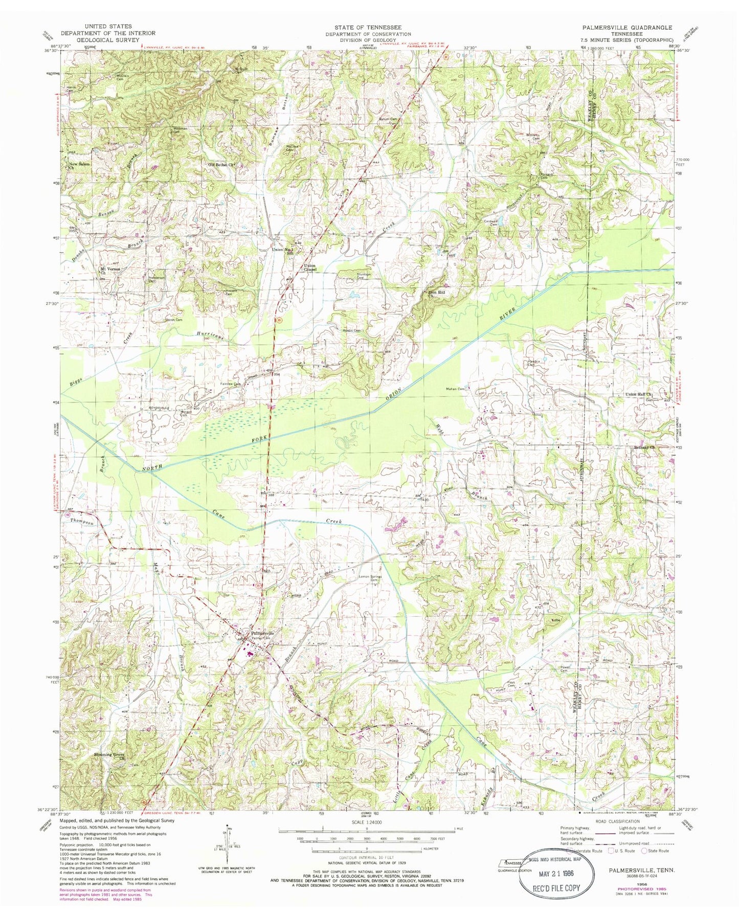
Classic USGS Palmersville Tennessee 7.5'x7.5' Topo Map
Couldn't load pickup availability
Historical USGS topographic quad map of Palmersville in the state of Tennessee. Map scale may vary for some years, but is generally around 1:24,000. Print size is approximately 24" x 27"
This quadrangle is in the following counties: Henry, Weakley.
The map contains contour lines, roads, rivers, towns, and lakes. Printed on high-quality waterproof paper with UV fade-resistant inks, and shipped rolled.
Contains the following named places: Austin Cemetery, Bethany Cemetery, Bethany Church, Blooming Grove Cemetery, Blooming Grove Church, Bumpas Bottom, Bumpass Store, Bynum Cemetery, Cane Creek, Cane Creek Branch, Cardwell Cemetery, Cupp Branch, Donoho School, Doron Cemetery, Fairview Cemetery, Fairview School, Harris Cemetery, Hays Cemetery, Henderson Cemetery, Hendrix Cemetery, Hunt School, Hurricane Creek, Kennedy Branch, Lemon Springs Cemetery, Little Cane Creek, Mahan Cemetery, Mayo Branch, McClain Cemetery, McGuire Cemetery, Morgan Cemetery, Mount Vernon Church, New Salem Church, North Union Chapel Cemetery, Old Bethel Baptist Church, Palmer Cemetery, Palmersville, Palmersville Cemetery, Palmersville Census Designated Place, Palmersville Community Volunteer Fire Department, Palmersville Division, Palmersville Elementary School, Palmersville Missionary Baptist Church, Palmersville Post Office, Palmersville Primitive Baptist Church, Panhandle School, Pickard Cemetery, Pickards Mill, Powell Cemetery, Stuntson Cemetery, Thompson Branch, Union Chapel, Union Hall Cemetery, Union Hall Church, Union Number 1 School, Vincent Cemetery, Webb Branch, Webb School, Williams Cemetery, Williams Store, Workman Cemetery, Zion Hill Cemetery, Zion Hill Church, ZIP Code: 38241


