MyTopo
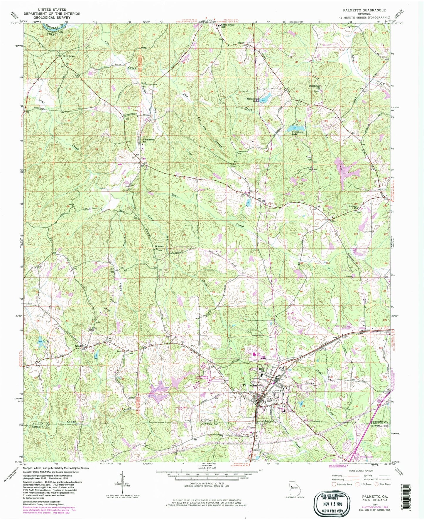
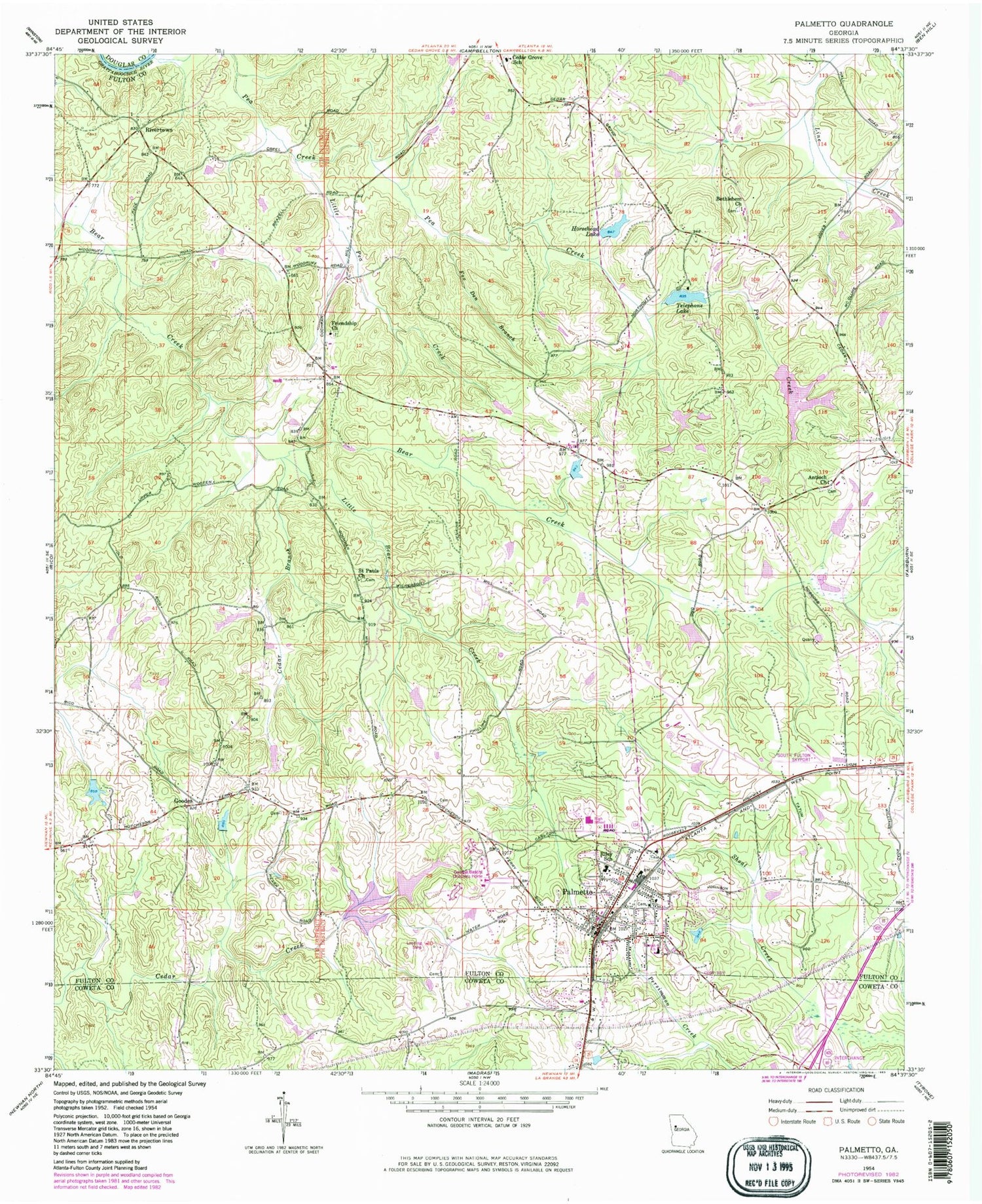
Classic USGS Palmetto Georgia 7.5'x7.5' Topo Map
Couldn't load pickup availability
Historical USGS topographic quad map of Palmetto in the state of Georgia. Typical map scale is 1:24,000, but may vary for certain years, if available. Print size: 24" x 27"
This quadrangle is in the following counties: Coweta, Douglas, Fulton.
The map contains contour lines, roads, rivers, towns, and lakes. Printed on high-quality waterproof paper with UV fade-resistant inks, and shipped rolled.
Contains the following named places: Antioch Church, Bethlehem Church, Cedar Branch, Victory Charter Elementary School, Fox Den Branch, Friendship Church, Horsehead Lake, Little Bear Creek, Little Pea Creek, Pea Creek, Riley School, Saint Pauls Church, Telephone Lake, Goodes, Rivertown, Palmetto, Cedar Lake Dam, Cedar Lake, Cedar Grove Dam, Cedar Grove Lake, Telephone Lake Dam, Horsehead Lake Dam, Redding Lake Dam, Redding Lake, Ono Road Lake Dam, Ono Road Lake, Goodes Lake Dam, Goodes Lake, South Oak Mobile Home Park, Sweet Briar Mobile Home Park, South Fulton Airport (historical), Bear Creek Estates, Cackle Corner, Carlton Woods, Cedar Grove Park, Cochrane Mill Park, Georgia Baptist Childrens Home, Green Springs, Palmetto Elementary School, Palmetto High School, Palmetto Post Office, Ramah Church, New Hope Church, Cochran Cemetery, Rivertown Church, Ramah Church, Calvary Church, Piney Grove Church, Cedar Grove Church, Smith Ferry (historical), Lester, Palmetto Division, Bear Creek Middle School, City of Palmetto, City of Chattahoochee Hills, Creekside High School, Renaissance Elementary School, Langston Hughes High School, Palmetto Fire Department Station 31, Fulton County Fire Department Station 17, Palmetto Police Department


