MyTopo
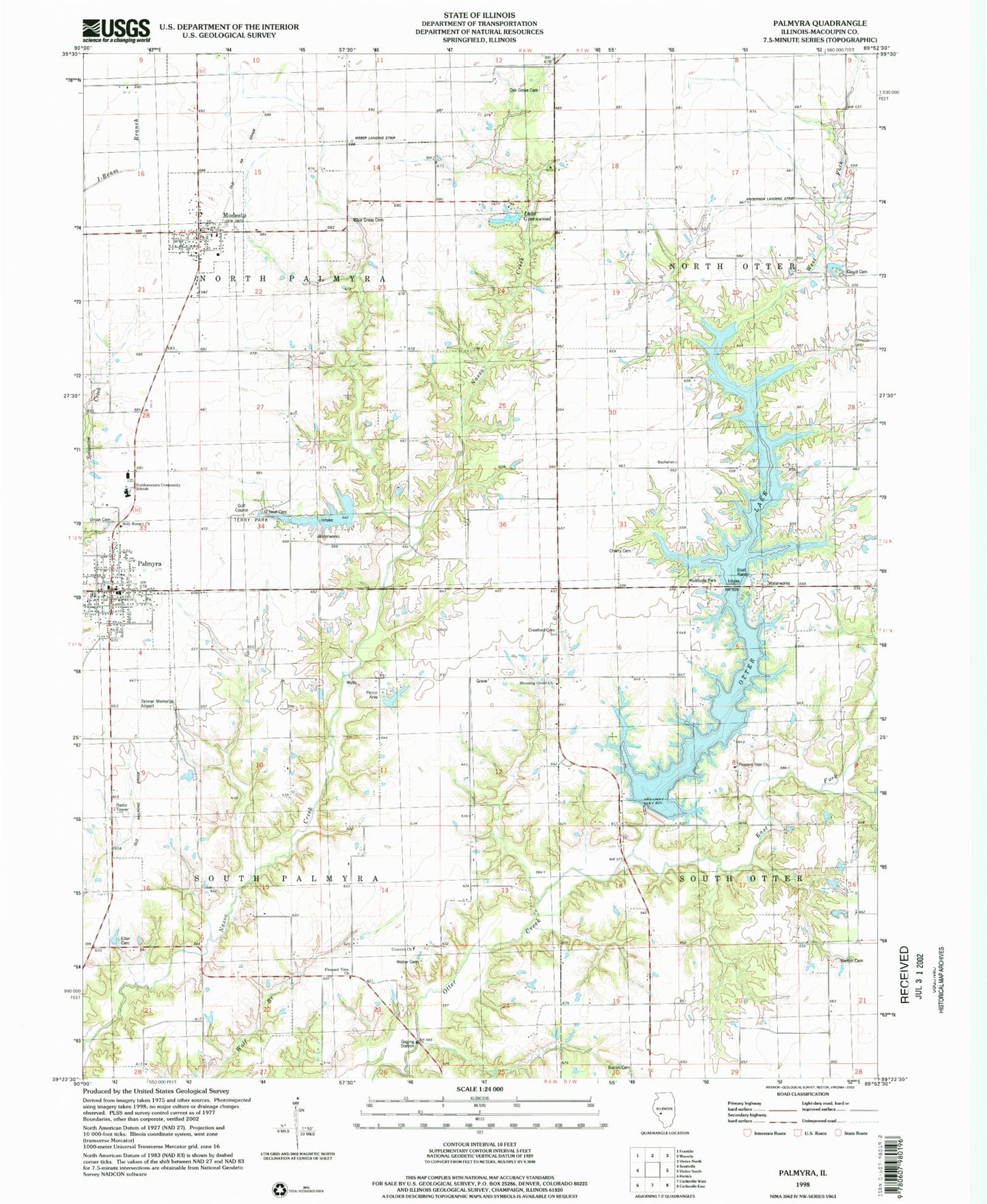
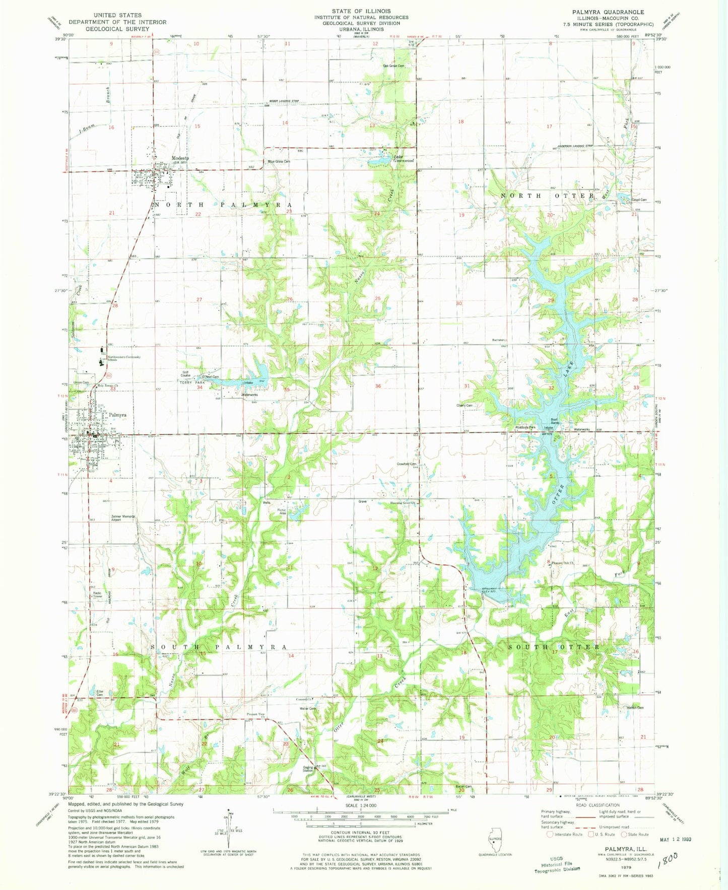
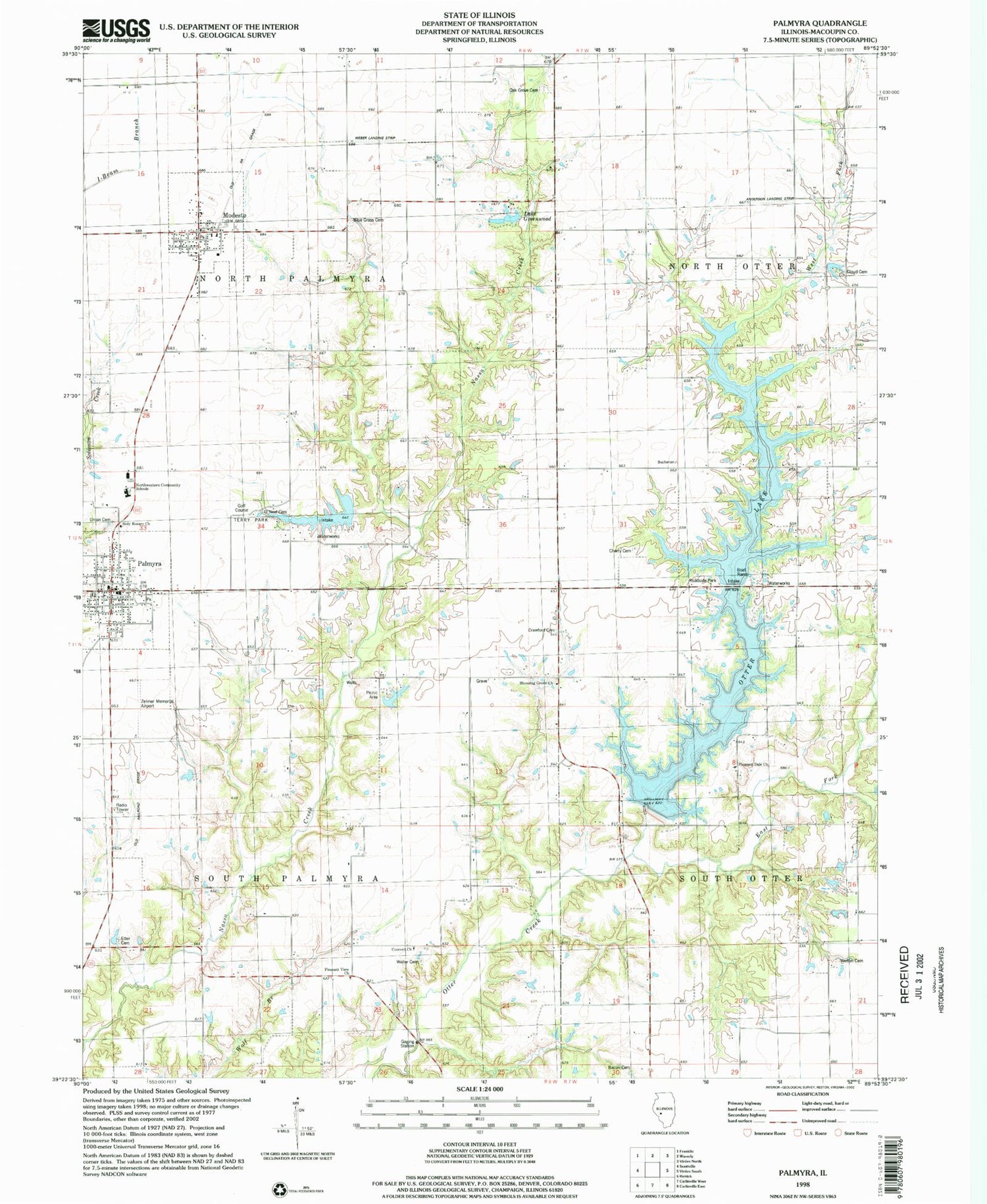
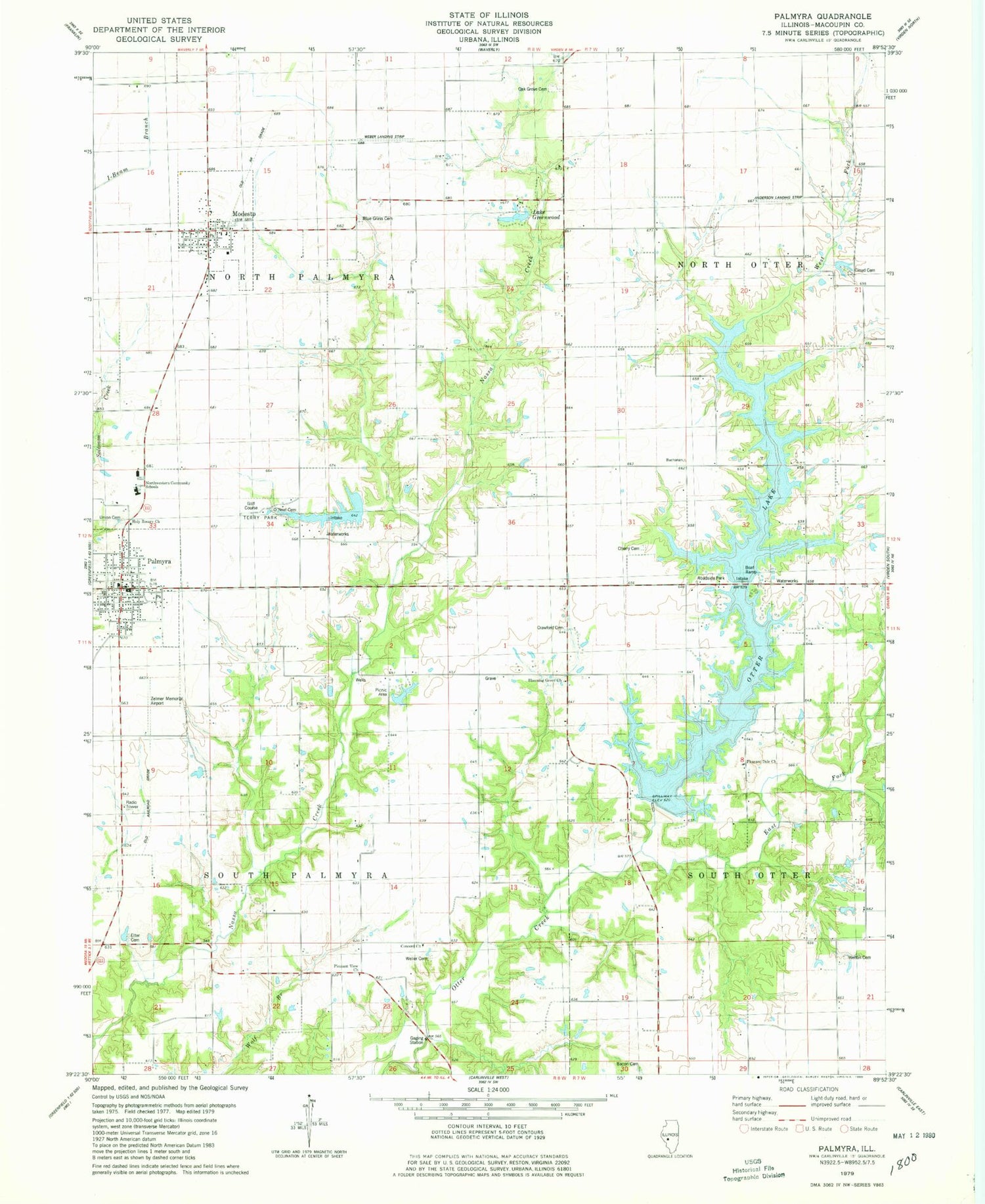
Classic USGS Palmyra Illinois 7.5'x7.5' Topo Map
Couldn't load pickup availability
Historical USGS topographic quad map of Palmyra in the state of Illinois. Map scale may vary for some years, but is generally around 1:24,000. Print size is approximately 24" x 27"
This quadrangle is in the following counties: Macoupin.
The map contains contour lines, roads, rivers, towns, and lakes. Printed on high-quality waterproof paper with UV fade-resistant inks, and shipped rolled.
Contains the following named places: American School, Anderson Landing Strip, Bacon Cemetery, Blooming Grove Christian Church, Blooming Grove School, Blue Grass Cemetery, Buchanan School, Cemetery, Cherry Cemetery, Cloud Cemetery, Concord Church, Crawford Cemetery, Doss Grave, Douglas School, Duncan School, East Fork Otter Creek, East Union School, Etter Cemetery, Goodes Woods Nature Preserve, Grimmett School, Hazel Green School, Holy Rosary Church, Horton School, Lake Greenwood, Modesto, Modesto Post Office, Nelson Weber Airport, Northwestern Area Ambulance Rescue Service, Northwestern Community Schools, ONeal Cemetery, Otter Lake, Otter Lake Dam, Palmyra, Palmyra Christian Church, Palmyra Police Department, Palmyra Post Office, Palmyra Volunteer Fire Department, Palmyra-Modesto City Lake, Palmyra-Modesto City Lake Dam, Pleasant Dale Church, Pleasant Hill School, Pleasant View Church, Scottville - Modesto Rural Fire Protection District, Simpson Hill School, Terry Park, Township of North Palmyra, Township of South Palmyra, Union Cemetery, Victory School, Village of Modesto, Village of Palmyra, Washington School, Weller Cemetery, Welton Cemetery, West Fork Otter Creek, Zelmer Memorial Airpark Inc, ZIP Code: 62667


