MyTopo
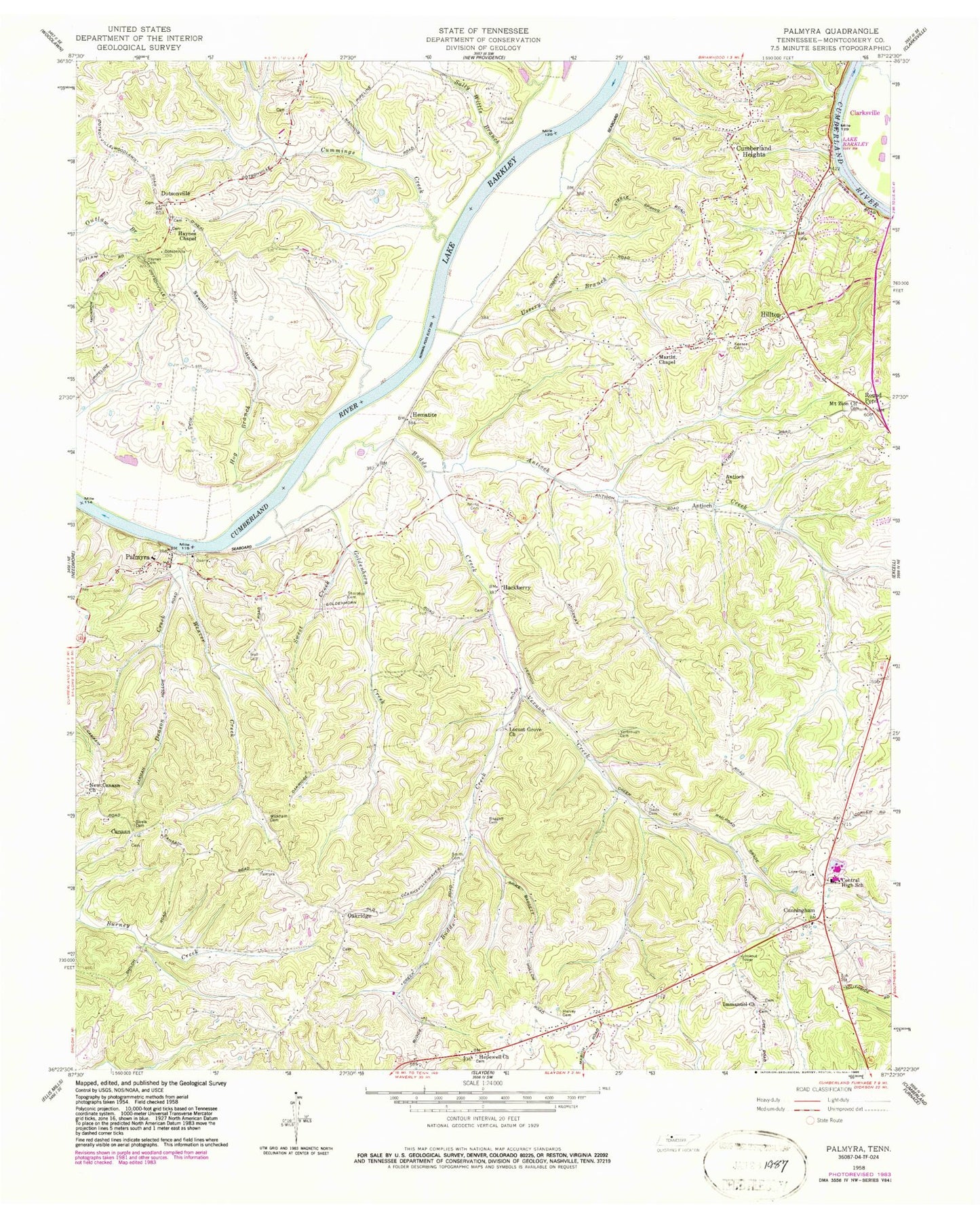
Classic USGS Palmyra Tennessee 7.5'x7.5' Topo Map
Couldn't load pickup availability
Historical USGS topographic quad map of Palmyra in the state of Tennessee. Map scale may vary for some years, but is generally around 1:24,000. Print size is approximately 24" x 27"
This quadrangle is in the following counties: Montgomery.
The map contains contour lines, roads, rivers, towns, and lakes. Printed on high-quality waterproof paper with UV fade-resistant inks, and shipped rolled.
Contains the following named places: Acree Landing, Antioch, Antioch Creek, Antioch United Methodist Church, Baggett Cemetery, Baggett Hollow, Bryans Ore Bank, Bud Martins Landing, Budds Creek, Canaan, Canaan First Baptist Church, Central Elementary School, Central High School, Commissioner District 6, Cumberland Heights, Cumberland Heights Division, Cumberland View, Cummings Creek, Cunningham, Cunningham Post Office, Cunningham Volunteer Fire Department, Davis Cemetery, Deason Creek, District 13, District 18, District 21, Dotsonville, Dotsonville Baptist Church, Goldenhorn Creek, Hackberry, Harvey Cemetery, Haynes Cemetery, Haynes Chapel, Haynes Landing, Hematite, Hematite Recreation Area, Hilltop, Hog Branch, Hopewell Church, Immanuel Church, Jackson Cemetery, Keesee Cemetery, Locust Grove Church, Martin Chapel, Martins Shoal, Montgomery County, Montgomery Furnace, Mount Zion Baptist Church, New Canaan Church, Norris Cemetery, Oakridge, O'Neals Landing, Palmyra, Palmyra Post Office, Palmyra School, Palmyra-Shiloh Division, Phoenix Furnace, Round Pond, Sall Martins Bar, Sally Willis Branch, Sawmill Hollow, Searcys Ferry, Sivels Cemetery, Smith Branch Recreation Area, Smith Cemetery, Sweet Creek, Ussery Branch, Vernon Creek, Vernon Furnace, Wall Cemetery, Weaver Creek, Wickham Cemetery, Yarbrough Cemetery, ZIP Code: 37052


