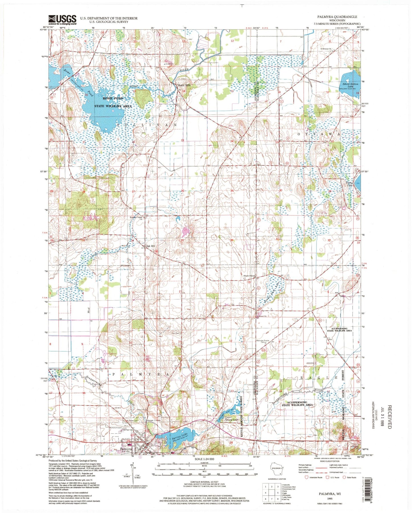
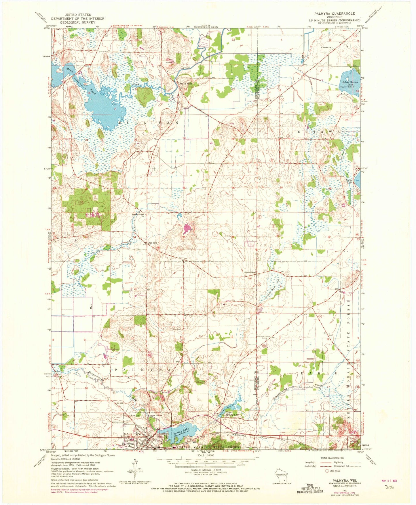
MyTopo
Classic USGS Palmyra Wisconsin 7.5'x7.5' Topo Map
Couldn't load pickup availability
Historical USGS topographic quad map of Palmyra in the state of Wisconsin. Typical map scale is 1:24,000, but may vary for certain years, if available. Print size: 24" x 27"
This quadrangle is in the following counties: Jefferson, Waukesha.
The map contains contour lines, roads, rivers, towns, and lakes. Printed on high-quality waterproof paper with UV fade-resistant inks, and shipped rolled.
Contains the following named places: Beaver Dam Lake, Melendys Prairie Cemetery, Oak Hill, Palmyra, Pleasant Valley Church, Rome Pond, Saint Brunos Church, Saint Marys Cemetery, Saint Theresa Cemetery, Siloam Chapel, Spring Lake, Upper Spring Lake, Zion Cemetery, Heath Mills, Palmyra Municipal Airport, Village of Palmyra, Town of Palmyra, Town of Sullivan, Spring Lake E18.2 Dam, Spring Lake 38, Carlin Dam, School Section Lake 2WP284 Dam, School Section Lake, Scuppernong Prairie State Natural Area, Saint Bruno Parish Cemetery, Palmyra Fire and Rescue Department, Palmyra Elementary School, Palmyra Wastewater Treatment Plant, Palmyra Police Department, Hardscrabble Cemetery, Pleasant Valley Cemetery, Palmyra Post Office