MyTopo
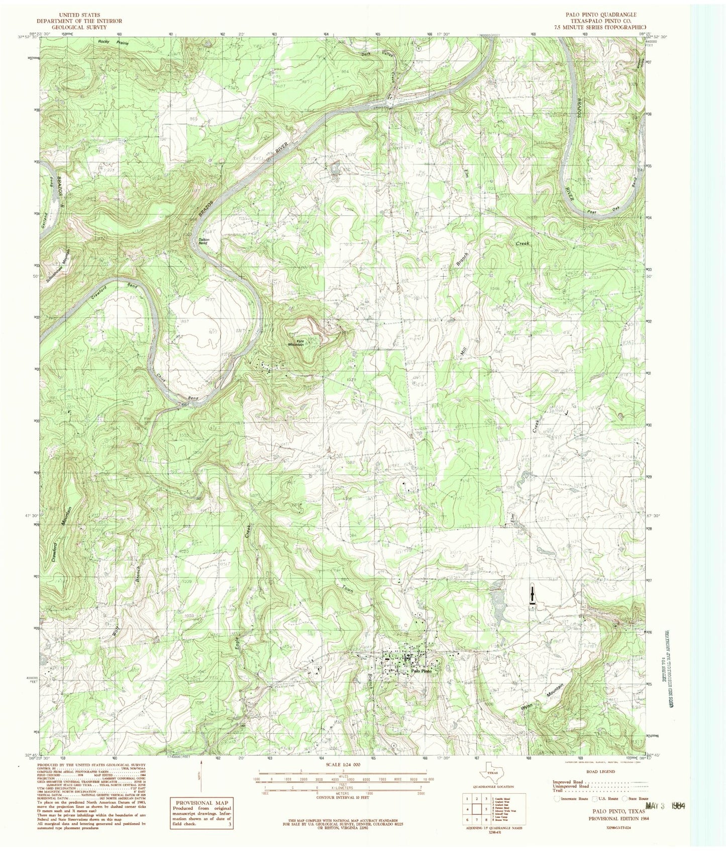
Classic USGS Palo Pinto Texas 7.5'x7.5' Topo Map
Couldn't load pickup availability
Historical USGS topographic quad map of Palo Pinto in the state of Texas. Typical map scale is 1:24,000, but may vary for certain years, if available. Print size: 24" x 27"
This quadrangle is in the following counties: Palo Pinto.
The map contains contour lines, roads, rivers, towns, and lakes. Printed on high-quality waterproof paper with UV fade-resistant inks, and shipped rolled.
Contains the following named places: B C Harris Bend, Chick Bend, Crawford Bend, Crawford Mountain, Dalton Bend, Dark Valley Creek, Eagle Creek, Elm Creek, Kyle Mountain, Little Keechi Creek, Mill Branch, Mill Branch, Palo Pinto, Post Oak Bend, Town Branch, Wolf Branch, Worth Ranch, Wynn Mountain, Palo Pinto County, Costello Lake Dam, Costello Lake, McMurrey Lake Dam, McMurrey Lake, Rocky Prairie, Palo Pinto Elementary School, Palo Pinto County Old Jail Museum, Palo Pinto County Jail, Palo Pinto Fire Department, Palo Pinto Census Designated Place, Palo Pinto Emergency Medical, Palo Pinto Post Office, Palo Pinto County Jail, Palo Pinto County Sheriff's Office, Palo Pinto County Constable's Office Precinct 3, Palo Pinto County Constable's Office Precinct 4


