MyTopo
Classic USGS Palo Michigan 7.5'x7.5' Topo Map
Couldn't load pickup availability
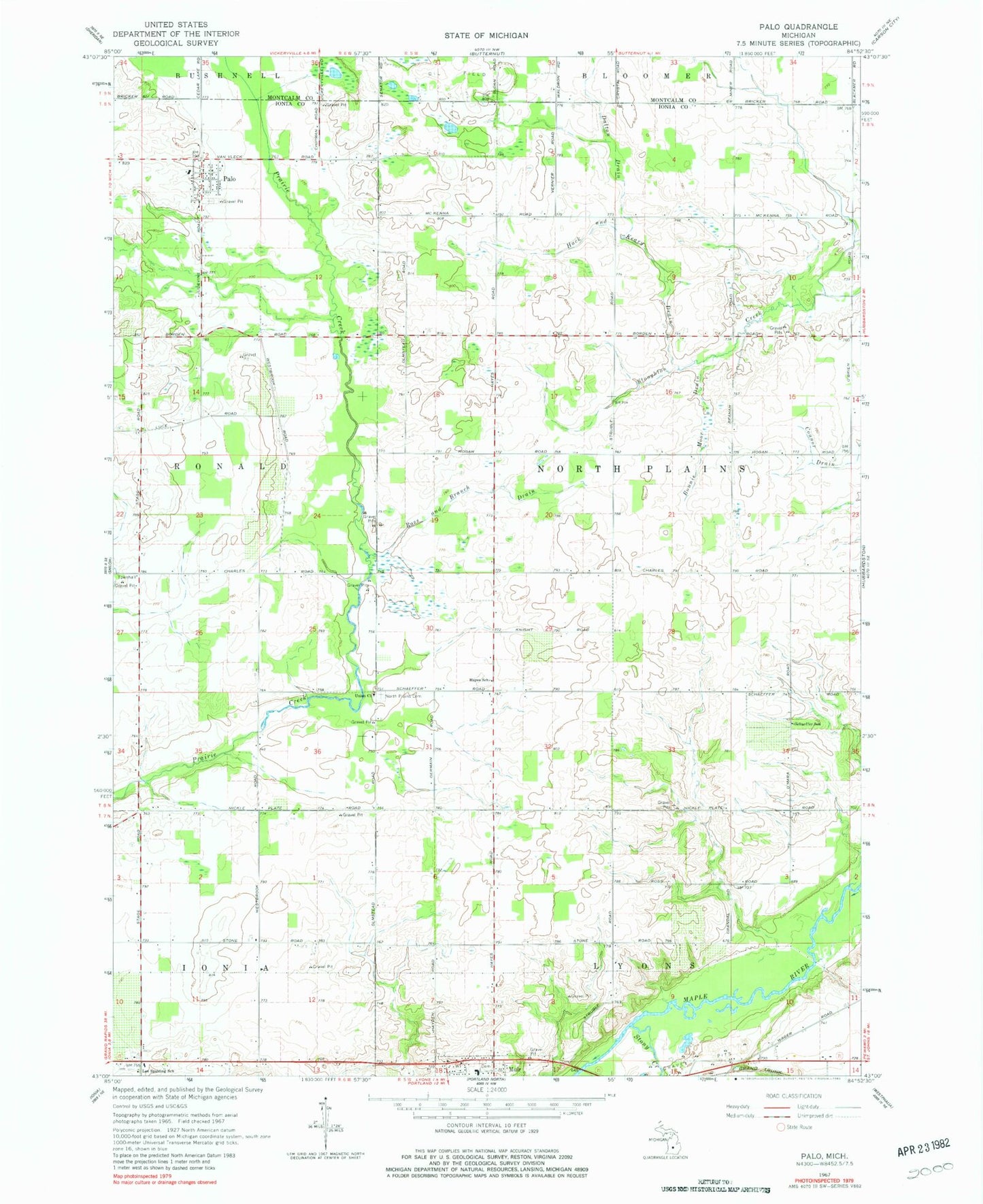
Historical USGS topographic quad map of Palo in the state of Michigan. Map scale may vary for some years, but is generally around 1:24,000. Print size is approximately 24" x 27"
This quadrangle is in the following counties: Ionia, Montcalm.
The map contains contour lines, roads, rivers, towns, and lakes. Printed on high-quality waterproof paper with UV fade-resistant inks, and shipped rolled.
Contains the following named places: Bonnie Moor Drain, Dalton Cemetery, Dalton Drain, Hack and Keary Drain, Hayes School, Lee Spalding School, Lyons Muir Church, North Plains Cemetery, North Plains Post Office, Oakwood Cemetery, Palo, Palo Cemetery, Palo Census Designated Place, Palo Post Office, Pine Haven Estates Mobile Home Park, Ronald Township Volunteer Fire Department, Ross and Branch Drain, Schaeffer School, Stony Creek, Township of North Plains, Twin Rivers Elementary School, Union Church, Woodward Cemetery, ZIP Codes: 48860, 48870