MyTopo
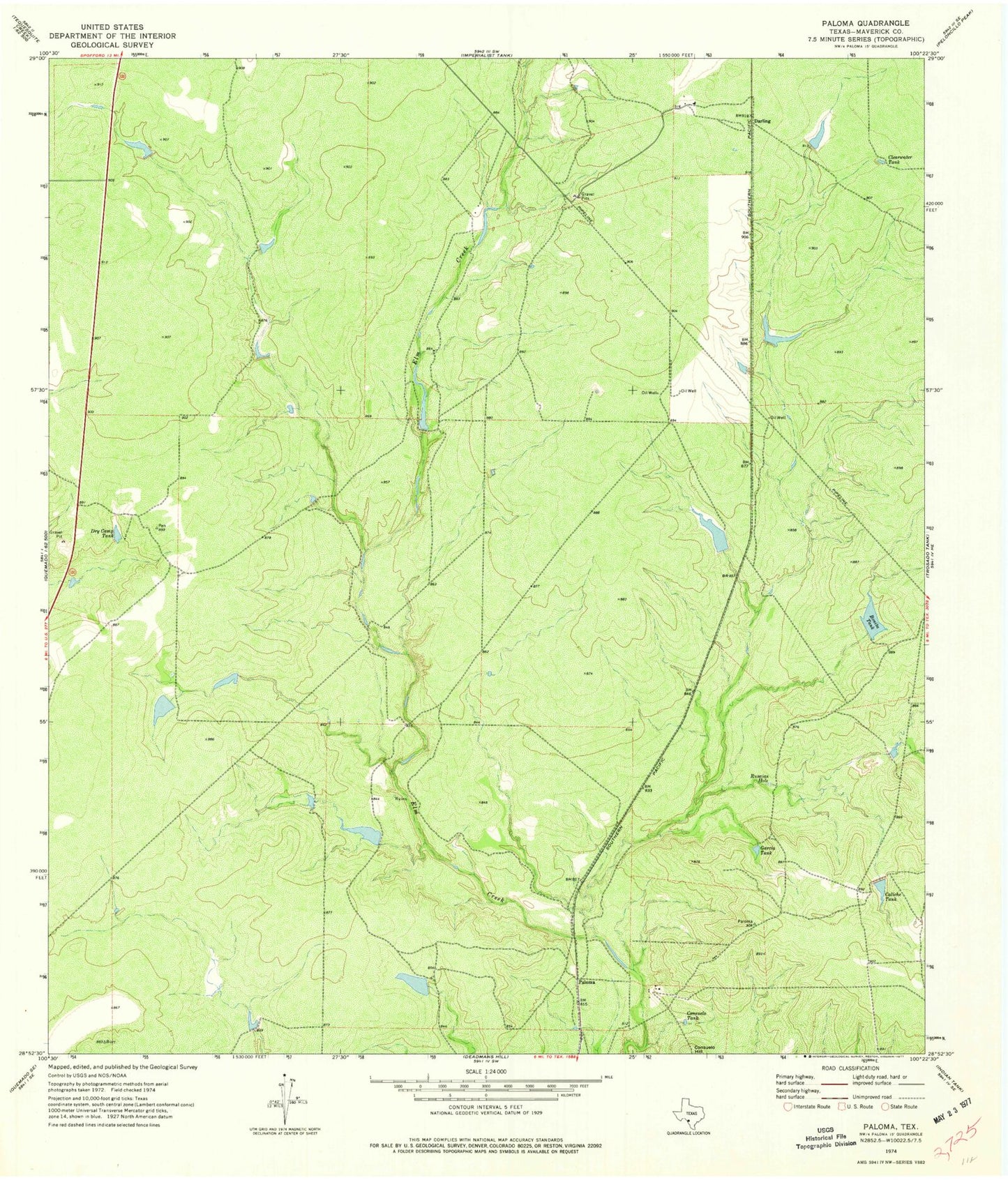
Classic USGS Paloma Texas 7.5'x7.5' Topo Map
Couldn't load pickup availability
Historical USGS topographic quad map of Paloma in the state of Texas. Map scale may vary for some years, but is generally around 1:24,000. Print size is approximately 24" x 27"
This quadrangle is in the following counties: Maverick.
The map contains contour lines, roads, rivers, towns, and lakes. Printed on high-quality waterproof paper with UV fade-resistant inks, and shipped rolled.
Contains the following named places: Bandera School Land Lake, Bandera School Land Lake Dam, Bonita Tank, Bonita Tank Dam, Burr Estate Lake Number 2, Burr Estate Lake Number 2 Dam, Caliche Tank, Clearwater Tank, Consuelo Tank, Darling, Dry Camp Tank, Dunbar Cattle Company Lake, Dunbar Cattle Company Lake Dam, Garcia Tank, Mangum Lake Number 1, Mangum Lake Number 1 Dam, Paloma, Rusaias Hole