MyTopo
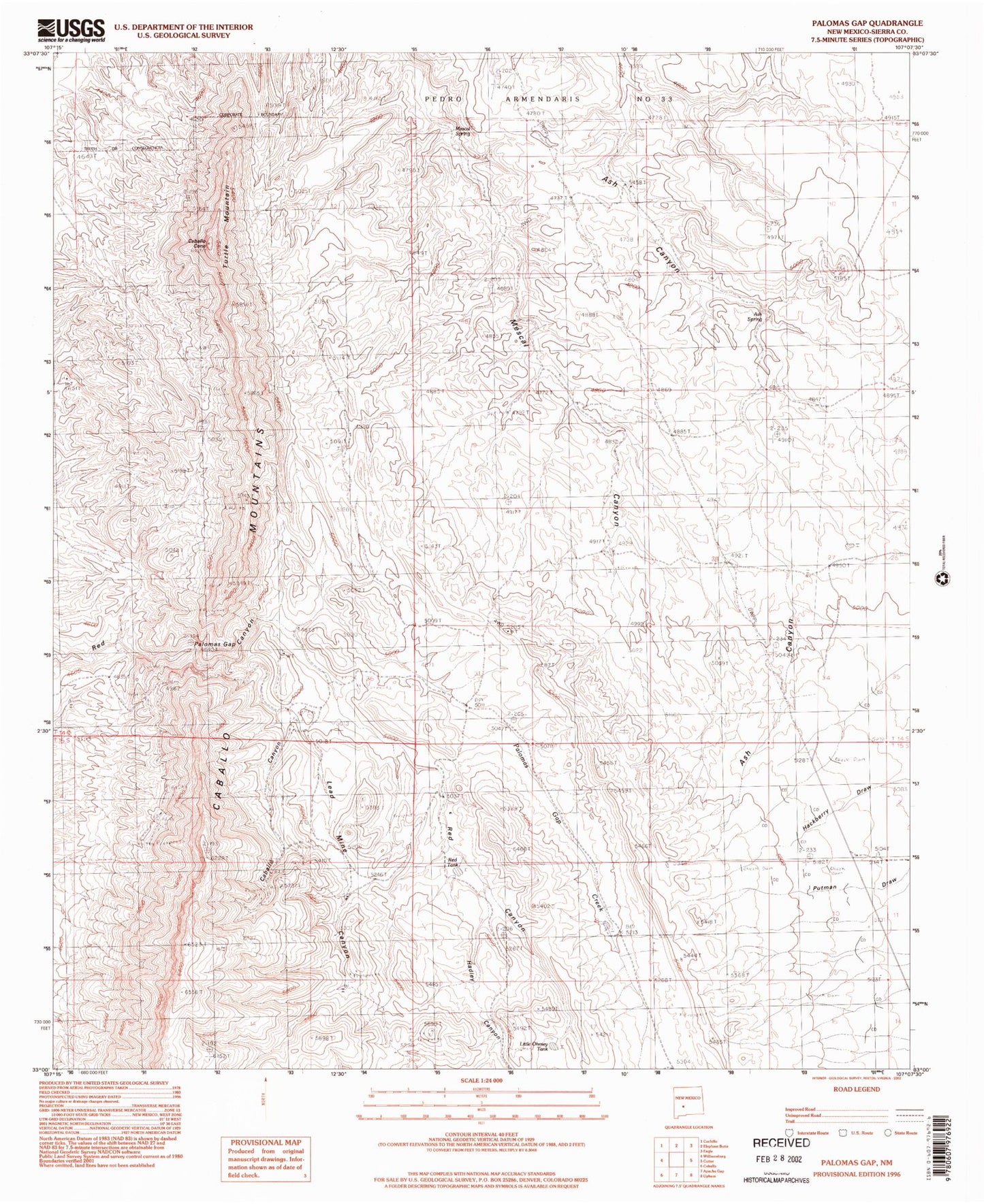
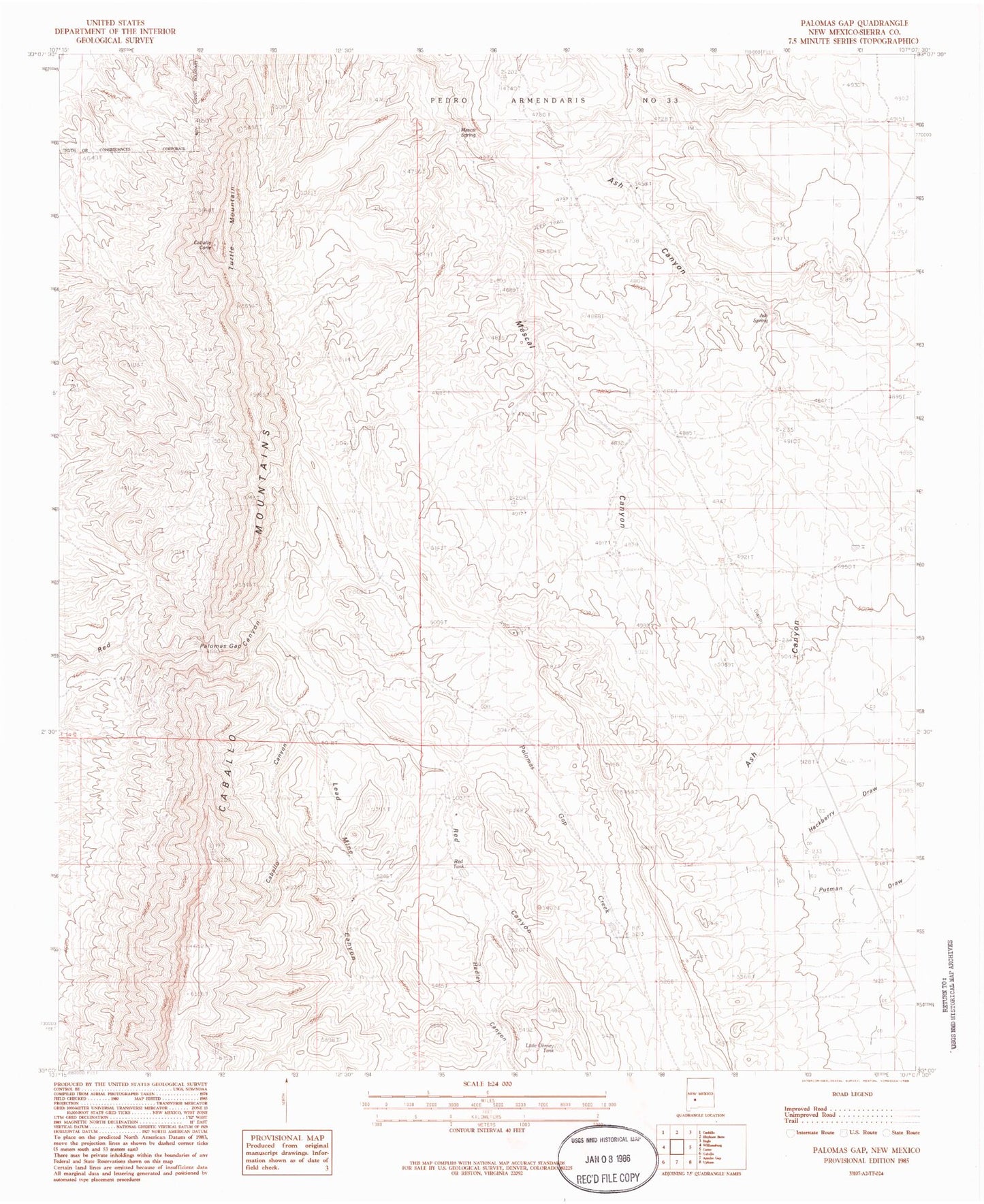
Classic USGS Palomas Gap New Mexico 7.5'x7.5' Topo Map
Couldn't load pickup availability
Historical USGS topographic quad map of Palomas Gap in the state of New Mexico. Map scale may vary for some years, but is generally around 1:24,000. Print size is approximately 24" x 27"
This quadrangle is in the following counties: Sierra.
The map contains contour lines, roads, rivers, towns, and lakes. Printed on high-quality waterproof paper with UV fade-resistant inks, and shipped rolled.
Contains the following named places: Ash Spring, Ashland Mine, Barney Lorio Number 1 Spring, Black Jack Mine, Blue Jacket Prospect, Bootlegger Windmill, Caballo Canyon, Caballo Cone, Caballo Spring Windmill, Carolyn, Carroll, Carroll Prospect, Cox, Cox Mine, Dakota Mine, Dewey, Dewey and White Swan Deposit, Forty-One and Riverside Mine, Forty-One Claim, Governor, Hadley Canyon, Harding, Illinois, Independence Mine, Lead Mine Canyon, Lincoln Mine, Little Johnnie Mine, Little Ohmey Tank, Lone Tree Prospect, Marian Mine, Mescal Spring, Napolean- Rosa Lee Group, Napoleon - Rosa Lee, Oakland Vein Mine, Oohoo, Palomas Gap, Palomas Gap Creek, Parker Windmill, Red Tank, Red Top, Riverside Mine, Tingley, Tingley Prospect, Turtle Mountain, Universal Mine, Victoria Mine, White Star Vein Mine, White Swan, Wild Horse, Yellowjacket Mine Number 1, Yellowjacket Mine Number 2


