MyTopo
Classic USGS Palomas Ranch SE Texas 7.5'x7.5' Topo Map
Regular price
$16.95
Regular price
Sale price
$16.95
Unit price
per
Couldn't load pickup availability
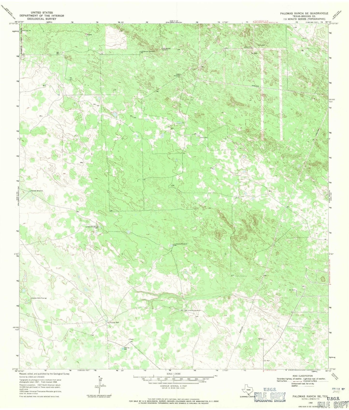
Historical USGS topographic quad map of Palomas Ranch SE in the state of Texas. Map scale may vary for some years, but is generally around 1:24,000. Print size is approximately 24" x 27"
This quadrangle is in the following counties: Brooks.
The map contains contour lines, roads, rivers, towns, and lakes. Printed on high-quality waterproof paper with UV fade-resistant inks, and shipped rolled.
Contains the following named places: Chivo Windmill, La Colcha Windmill, Las Burras Windmill, Lindero Windmill, Llescosa Well, Madrigueras Windmill, Perdido Windmill, Perez Cemetery, San Cristobal Windmill, Tres Puertas Well