MyTopo
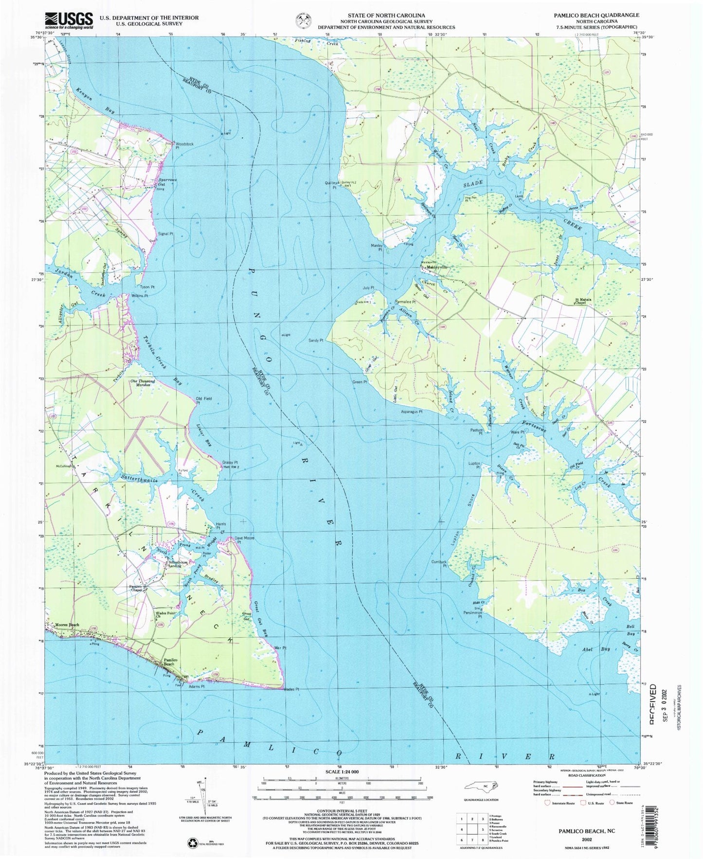
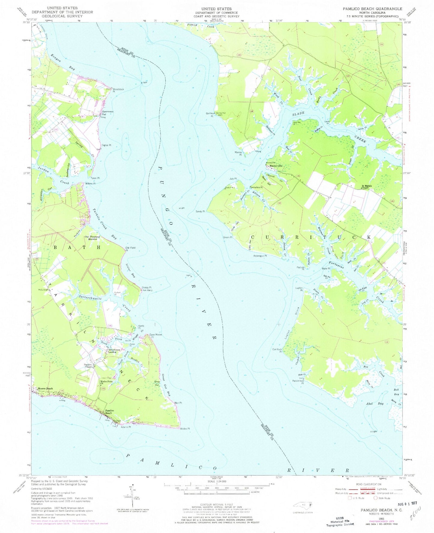
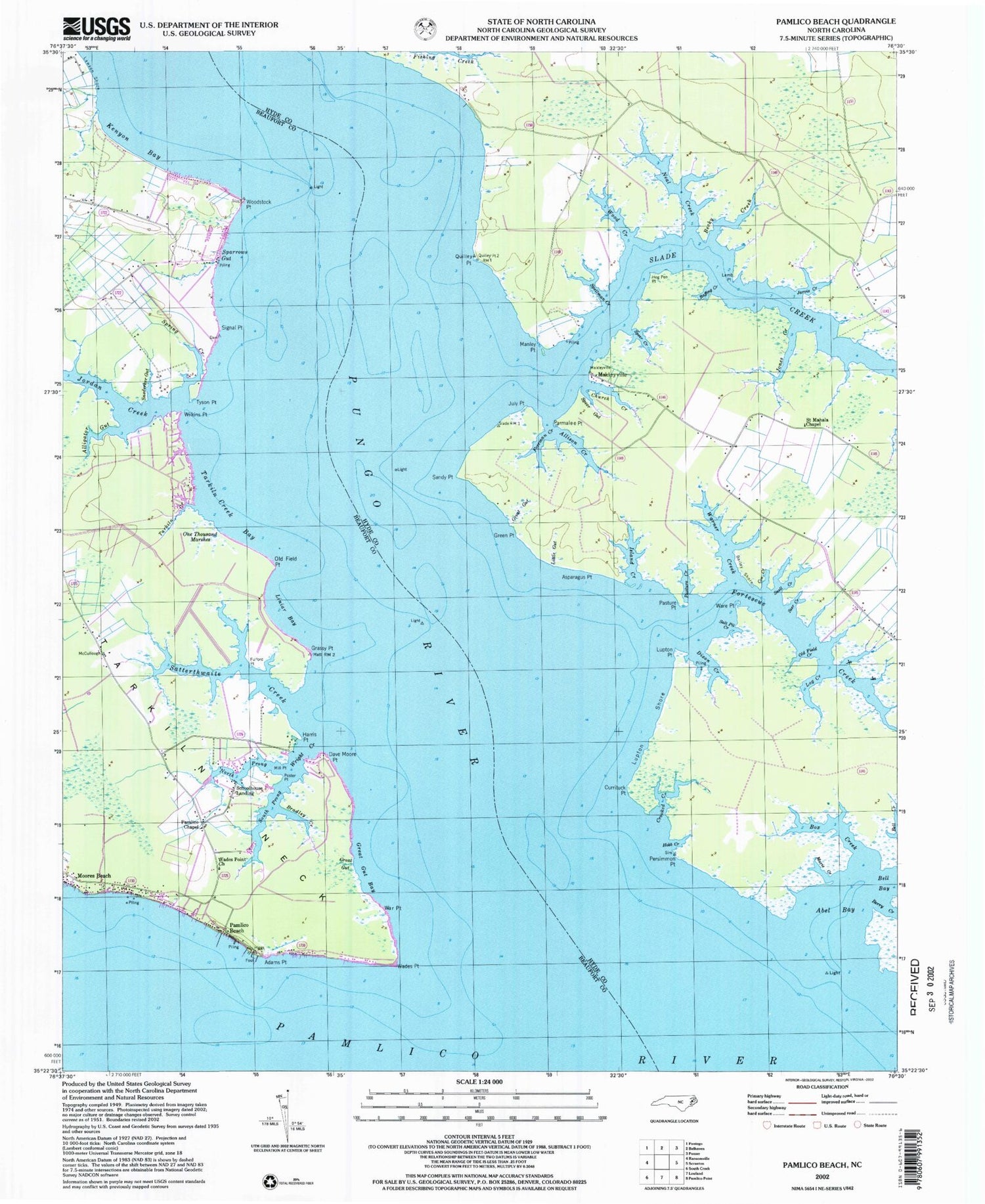
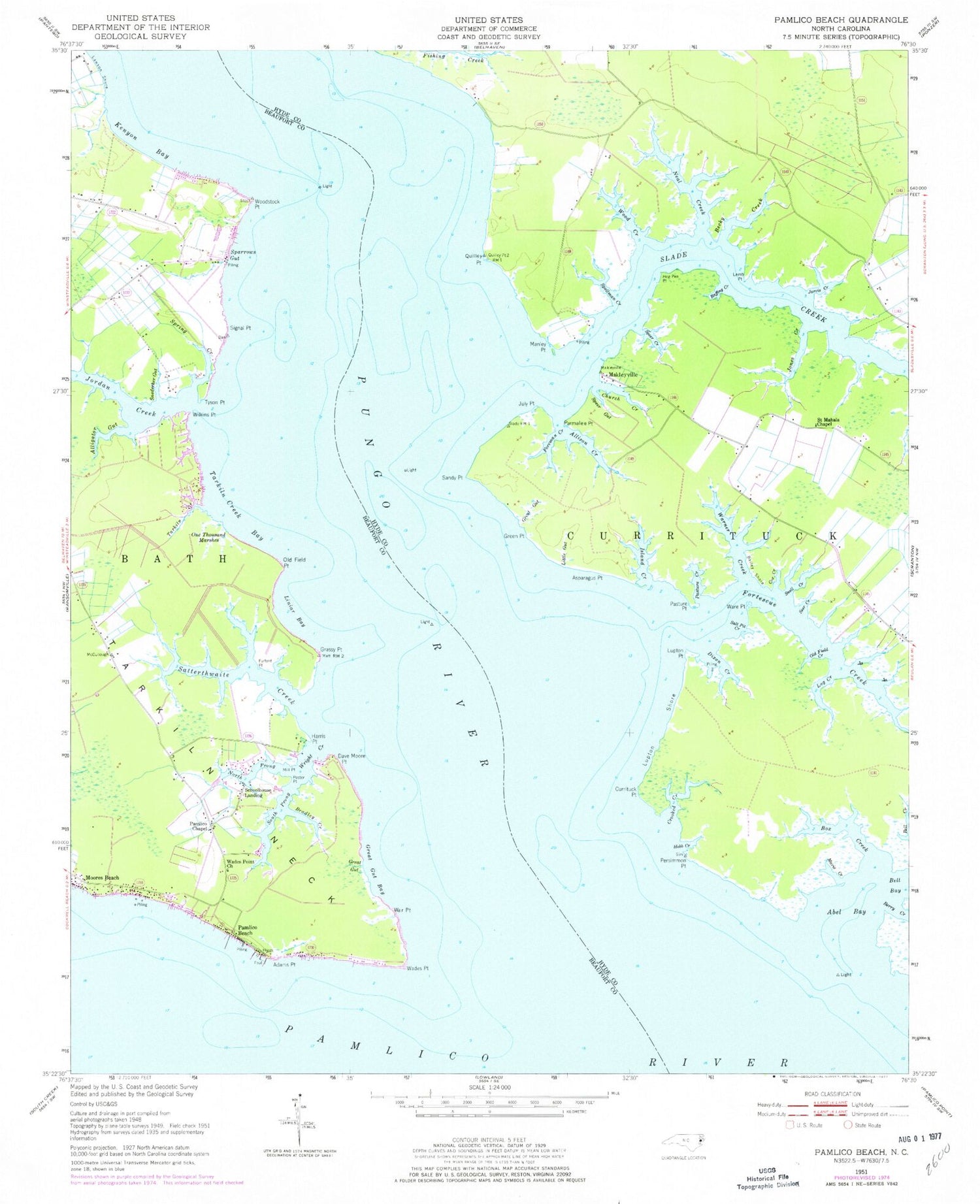
Classic USGS Pamlico Beach North Carolina 7.5'x7.5' Topo Map
Couldn't load pickup availability
Historical USGS topographic quad map of Pamlico Beach in the state of North Carolina. Map scale may vary for some years, but is generally around 1:24,000. Print size is approximately 24" x 27"
This quadrangle is in the following counties: Beaufort, Hyde.
The map contains contour lines, roads, rivers, towns, and lakes. Printed on high-quality waterproof paper with UV fade-resistant inks, and shipped rolled.
Contains the following named places: Abel Bay, Adams Point, Alligator Gut, Allison Creek, Asparagus Point, Bailey Shore, Becky Creek, Box Creek, Bradley Creek, Church Creek, Cox Creek, Crooked Creek, Currituck Point, Dave Moore Point, Dixon Creek, Foreman Creek, Fortescue Creek, Fulford Point, Grassy Point, Great Gut, Great Gut Bay, Green Point, Harris Point, Hobb Creek, Hog Pen Point, Island Creek, Jarvis Creek, Jones Creek, Jordan Creek, July Point, Kenyon Bay, Lamb Point, Life Gate Free Will Baptist Church, Liniar Bay, Little Gut, Log Creek, Lupton Point, Lupton Shore, Makleyville, Manley Point, Marie Creek, Mill Point, Moores Beach, Neal Creek, North Prong Wright Creek, Old Field Creek, Old Field Point, One Thousand Marshes, Pamlico Beach, Pamlico Beach Fire Department and Rescue Squad, Pamlico Chapel, Parmalee Point, Pasture Creek, Pasture Point, Persimmon Point, Poster, Pungo River, Quilley Point, Raffing Creek, Saint Mahala Chapel, Salt Pit Creek, Sandy Point, Satterthwaite Creek, Schoolhouse Landing, Seer Creek, Signal Point, Slade Creek, Snederker Gut, Snell Creek, South Prong Wright Creek, Sparrows Gut, Speer Creek, Speer Gut, Spellman Creek, Spring Creek, Tarkiln Creek, Tarkiln Creek Bay, Tarkiln Neck, Tyson Point, Wades Point, Wades Point Church, War Point, Ware Point, Warner Creek, Wilkins Point, Wood Creek, Woodstock Point, Wright Creek, ZIP Code: 27875


