MyTopo
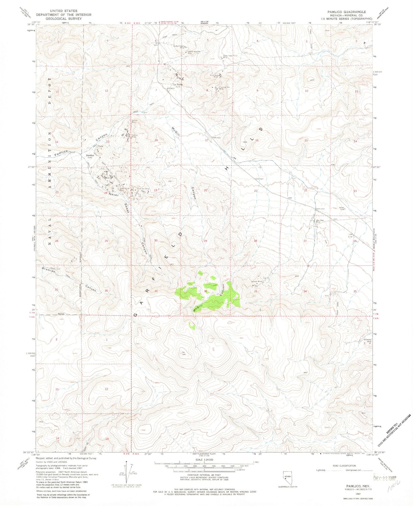
Classic USGS Pamlico Nevada 7.5'x7.5' Topo Map
Couldn't load pickup availability
Historical USGS topographic quad map of Pamlico in the state of Nevada. Map scale may vary for some years, but is generally around 1:24,000. Print size is approximately 24" x 27"
This quadrangle is in the following counties: Mineral.
The map contains contour lines, roads, rivers, towns, and lakes. Printed on high-quality waterproof paper with UV fade-resistant inks, and shipped rolled.
Contains the following named places: Ashby Gold Mines Incorporated, Big Deal Mine, Central Mine, Evening Star Mine, Gold Bar Mine, Gold Bug Mine, Golden Bomber Mine, Golden Eagle Mine, Good Hope Mine, Good Hope Number 2 Mine, La Panta, La Panta Mine, Lazy Man Mine, Loman Mine, McGill Canyon, Never Sweat Canyon, Pamlico, Pamlico Mines, Rhodes Canon, Sagundai Spring, Sunset Mine, Wamsley Mine