MyTopo
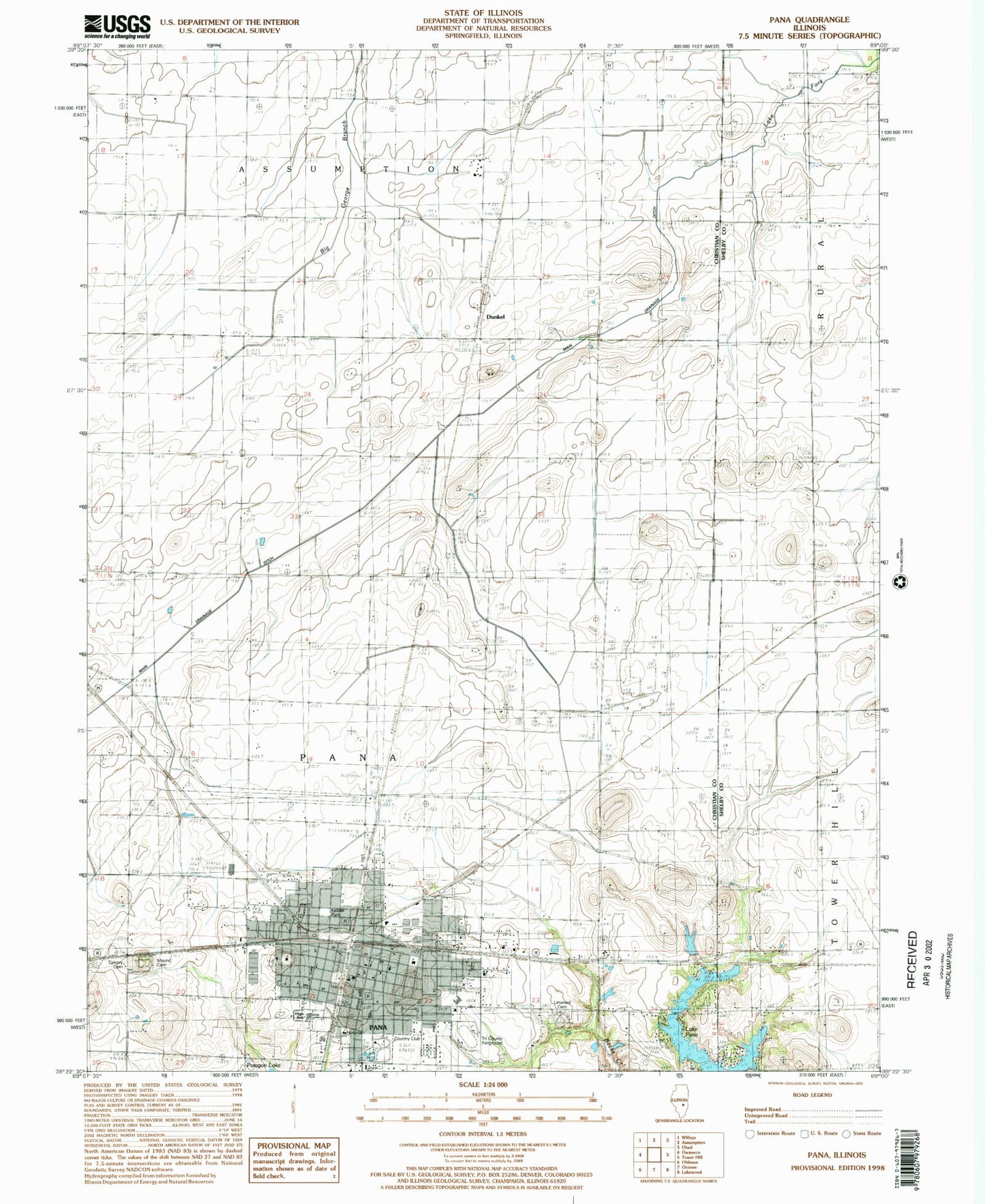
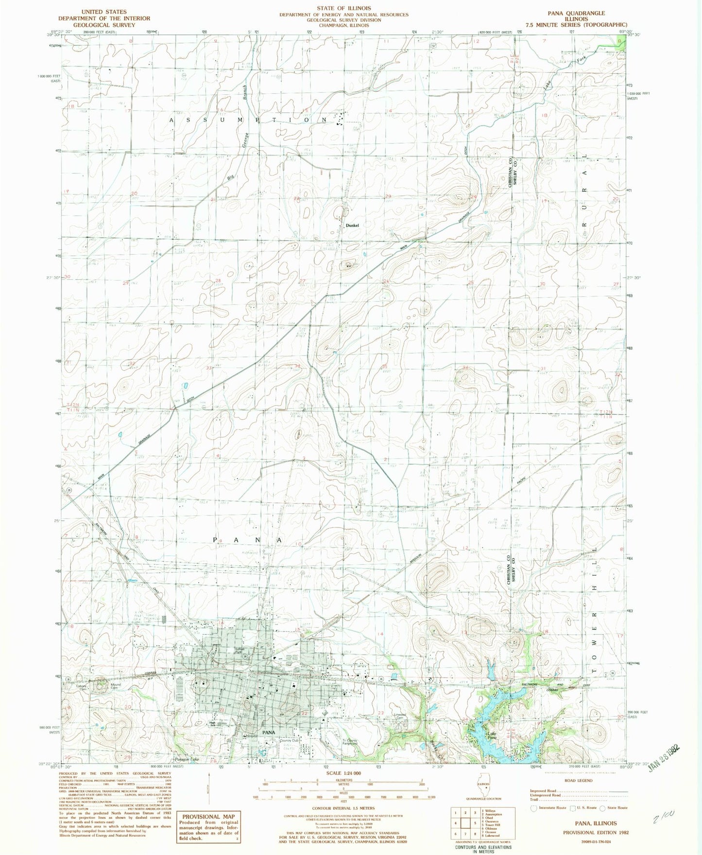
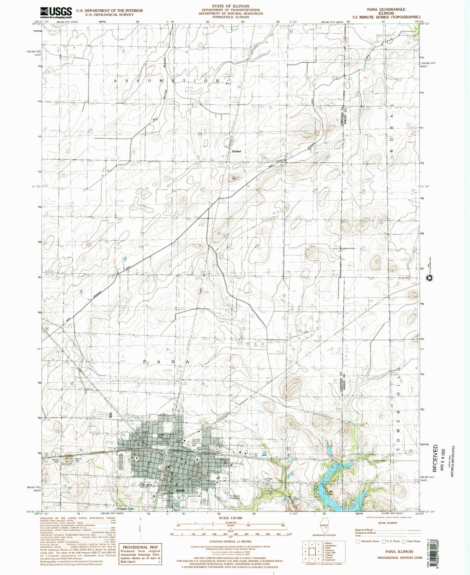
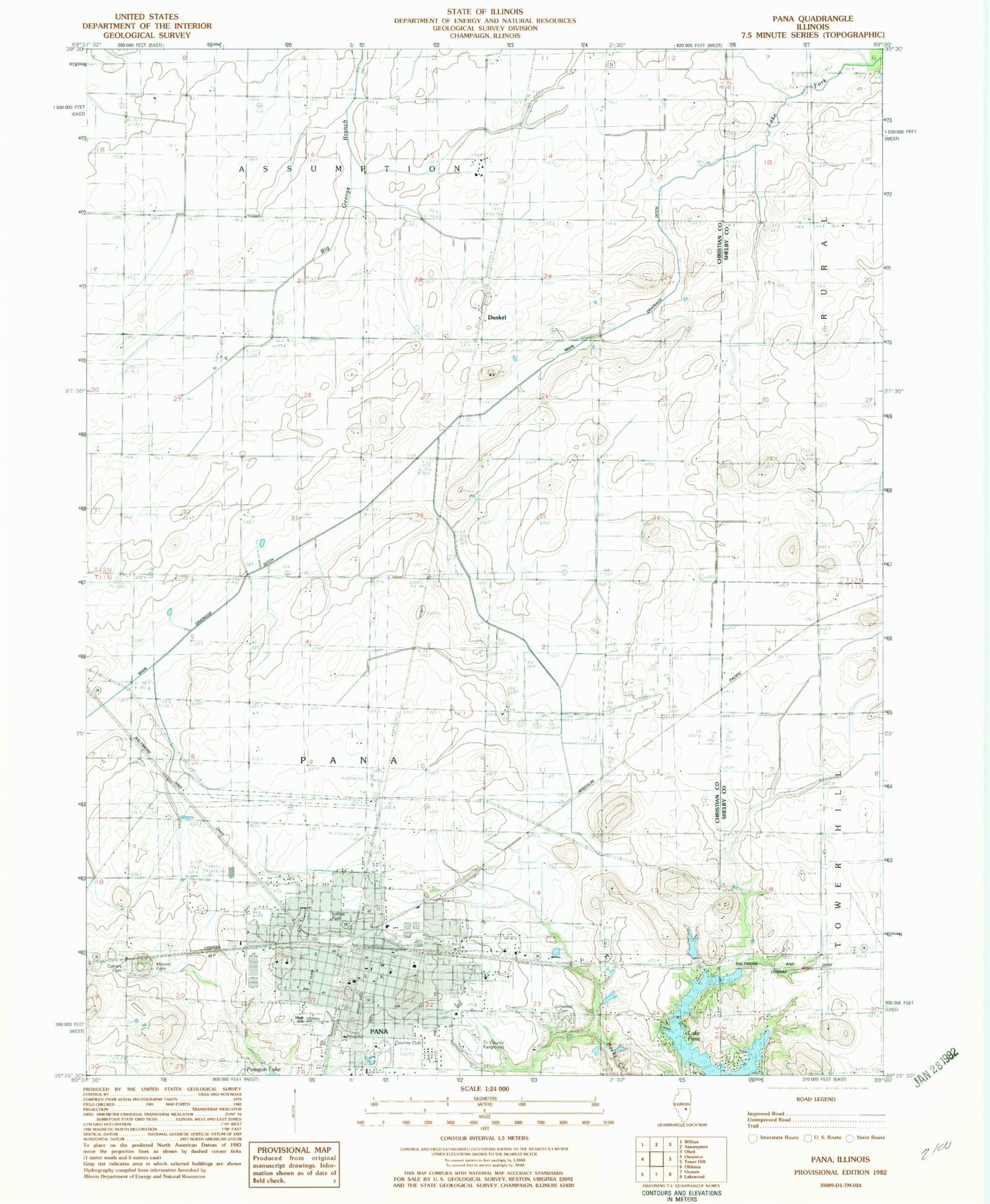
Classic USGS Pana Illinois 7.5'x7.5' Topo Map
Couldn't load pickup availability
Historical USGS topographic quad map of Pana in the state of Illinois. Map scale may vary for some years, but is generally around 1:24,000. Print size is approximately 24" x 27"
This quadrangle is in the following counties: Christian, Shelby.
The map contains contour lines, roads, rivers, towns, and lakes. Printed on high-quality waterproof paper with UV fade-resistant inks, and shipped rolled.
Contains the following named places: Bible Baptist Church, Calvary Baptist Church, Calvary Cemetery, Carnegie-Schuyler Library, Carter School, City of Pana, Clark School, Das Pana Ambulance Service, Douglas School, Dunkel, Dunkle School, First Assembly of God Church, First Baptist Church, First Church of the Nazarene, First General Baptist Church, First United Methodist Church, First United Presbyterian Church, Free Methodist Church, Kehias Park, Kitchell Park, Lake View School, Lincoln Elementary School, Linwood Cemetery, Main Drainage Ditch, Malin School, Mautz Cemetery, Millot School, Mound Cemetery, Mount Victory School, Pana, Pana Christian Church, Pana City Hall, Pana Community Hospital, Pana Country Club, Pana Fire Department, Pana Health Care Center, Pana High School, Pana Junior High School, Pana Learning Center, Pana Police Department, Pana Post Office, Park Manor, Parkinson School, Pleasant Grove School, Richwood Manor, Sacred Hearth School, Saint Johns United Church of Christ, Saint Paul Lutheran Church, Sunny Yard School, Swamp Angel School, The Church of Jesus Christ of Latter Day Saints, Township of Pana, Tri County Fairground, Victor School, Washington Elementary School, Wilburn Park, ZIP Code: 62557


