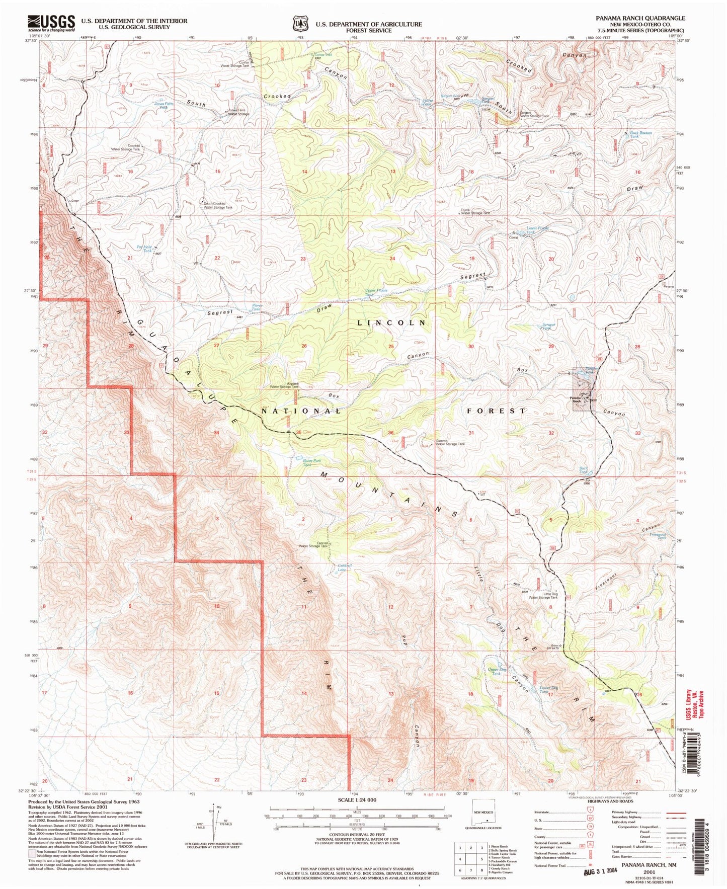
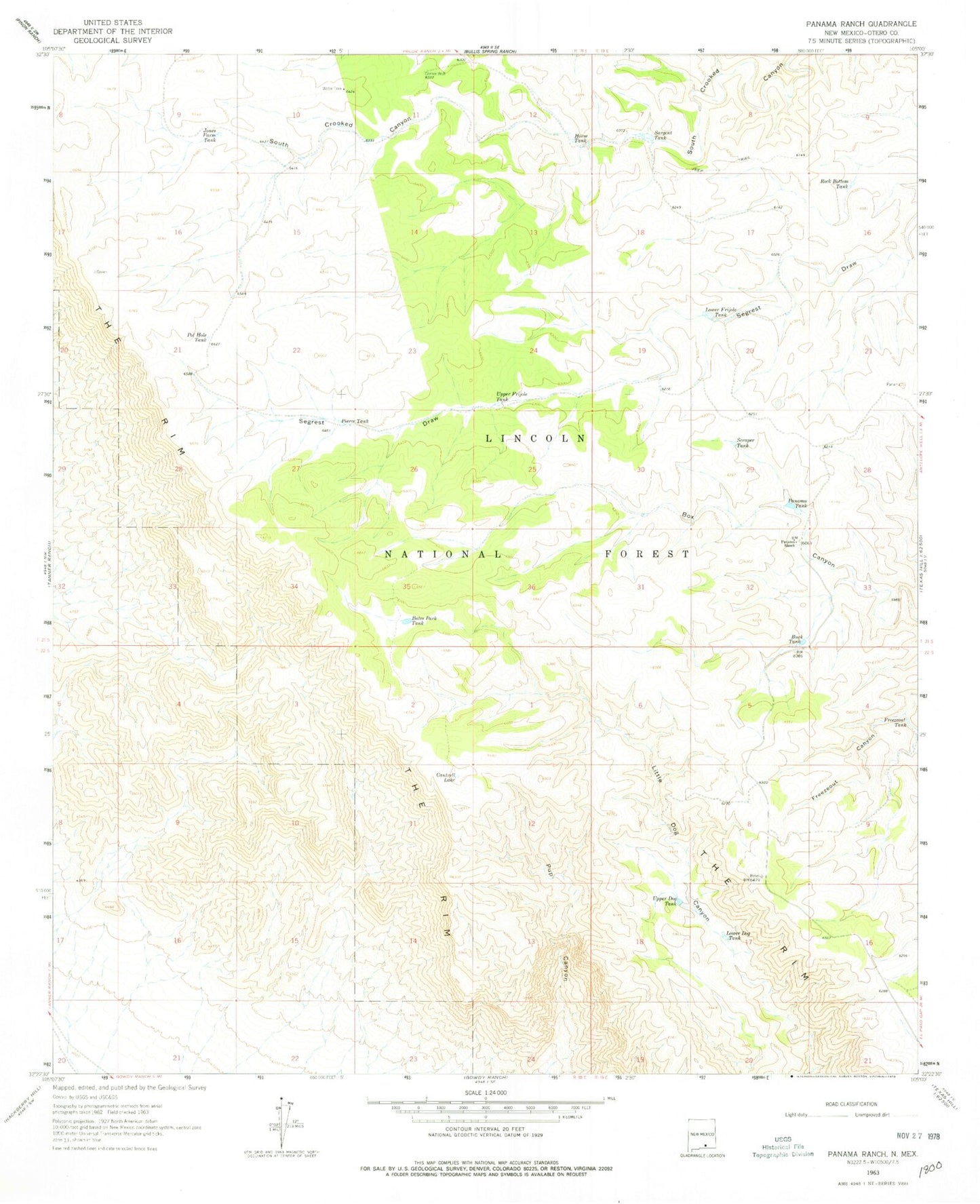
MyTopo
Classic USGS Panama Ranch New Mexico 7.5'x7.5' Topo Map
Couldn't load pickup availability
Historical USGS topographic quad map of Panama Ranch in the state of New Mexico. Map scale may vary for some years, but is generally around 1:24,000. Print size is approximately 24" x 27"
This quadrangle is in the following counties: Otero.
The map contains contour lines, roads, rivers, towns, and lakes. Printed on high-quality waterproof paper with UV fade-resistant inks, and shipped rolled.
Contains the following named places: Airplane Water Storage Tank, Bates Park Tank, Buck Tank, Cantrell Lake, Cantrell Water Storage Tank, Corner Water Storage Tank, Corner Well, Crooked WaterStorage Tank, Freezeout Tank, Frijole Water Storage Tank, Horse Tank, Jones Farm Tank, Jones Farm Water Storage Tank, Little Dog Water Storage Tank, Lower Dog Tank, Lower Frijole Tank, Panama Ranch, Panama Tank, Pierce Tank, Pot Hole Tank, Rock Bottom Tank, Sargent Tank, Sargent Water Storage Tank, Sargent Well, Scraper Tank, South Crooked Water Storage Tank, Summit Water Storage Tank, The Rim, Upper Dog Tank, Upper Frijole Tank