MyTopo
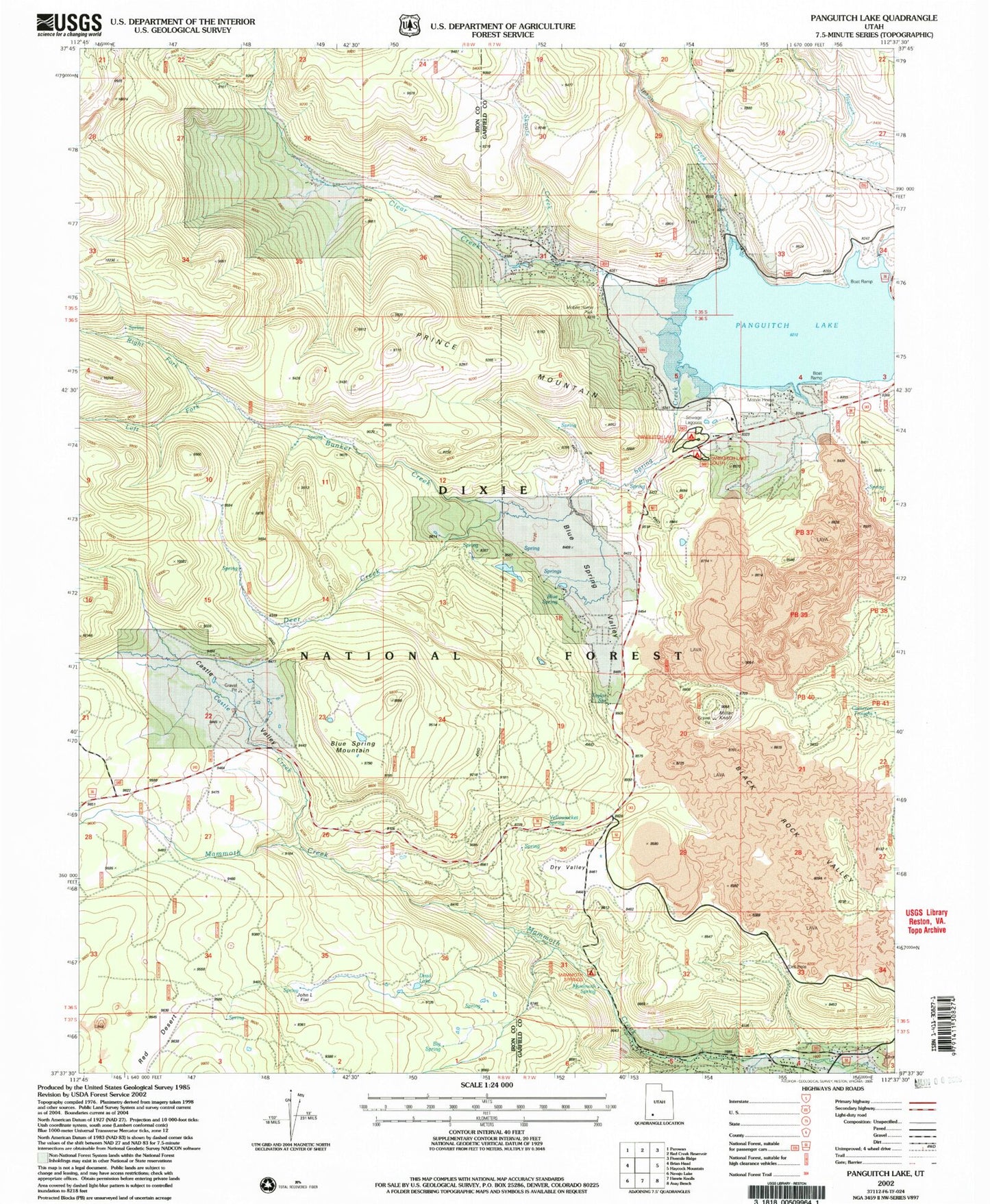
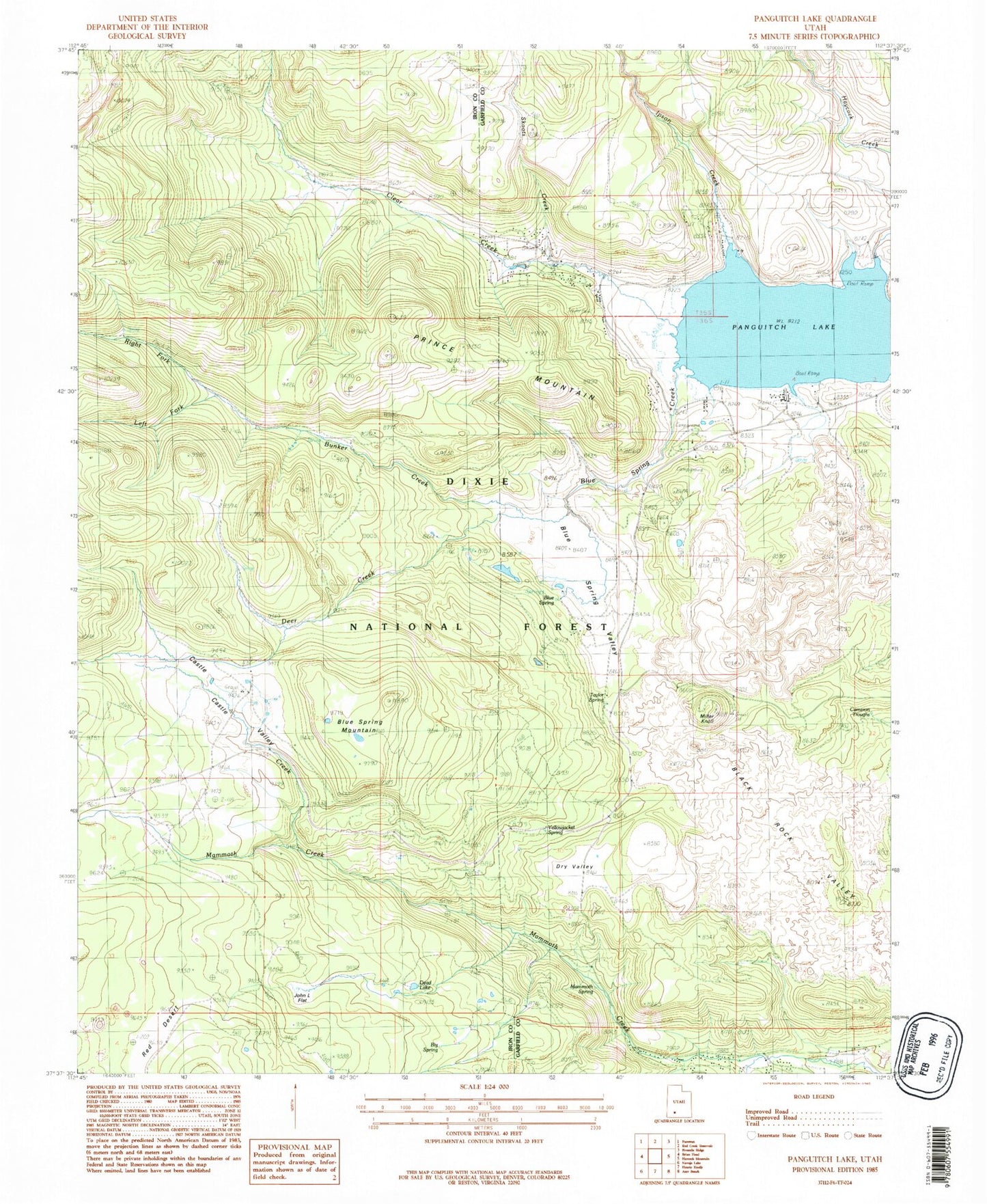
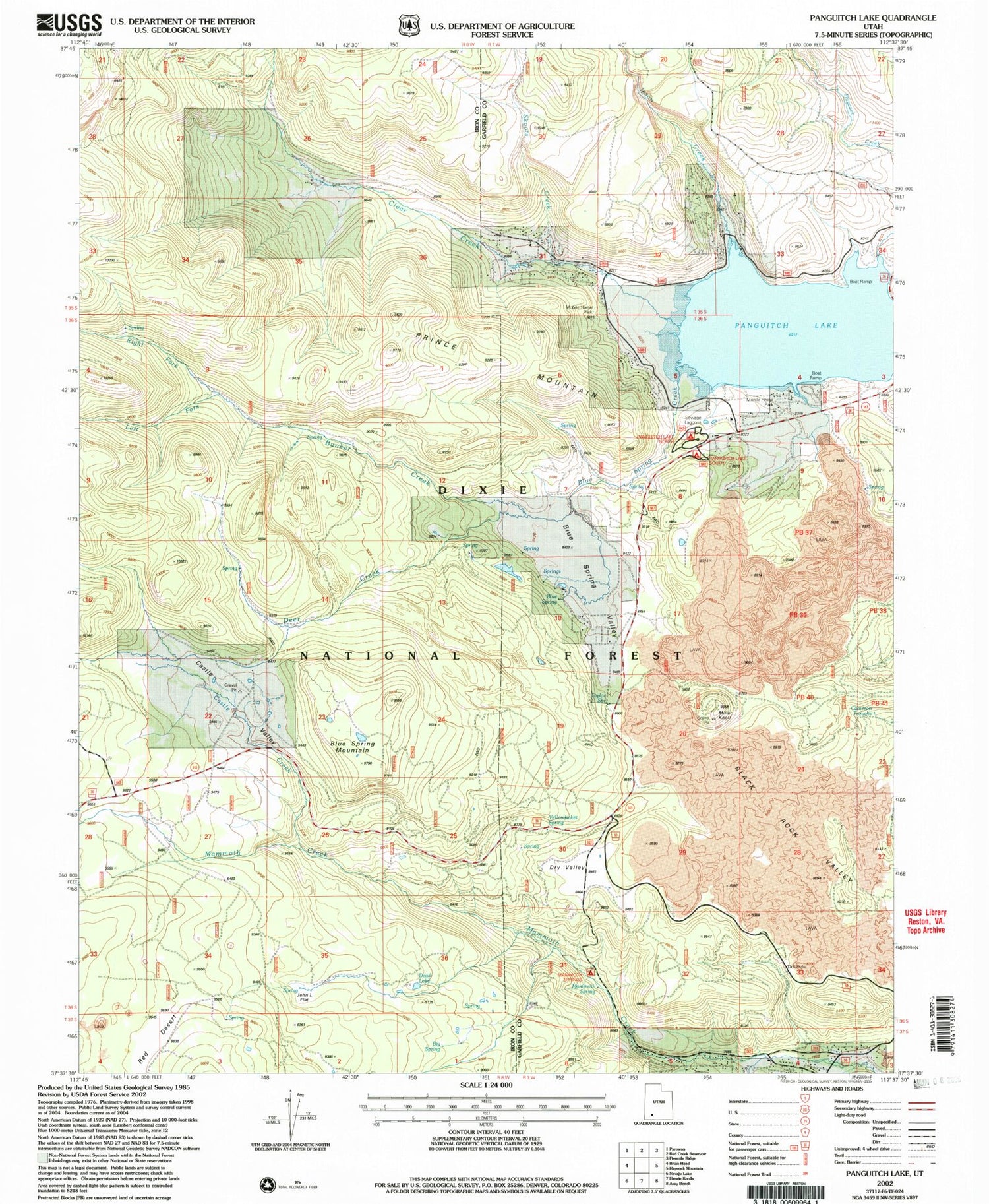
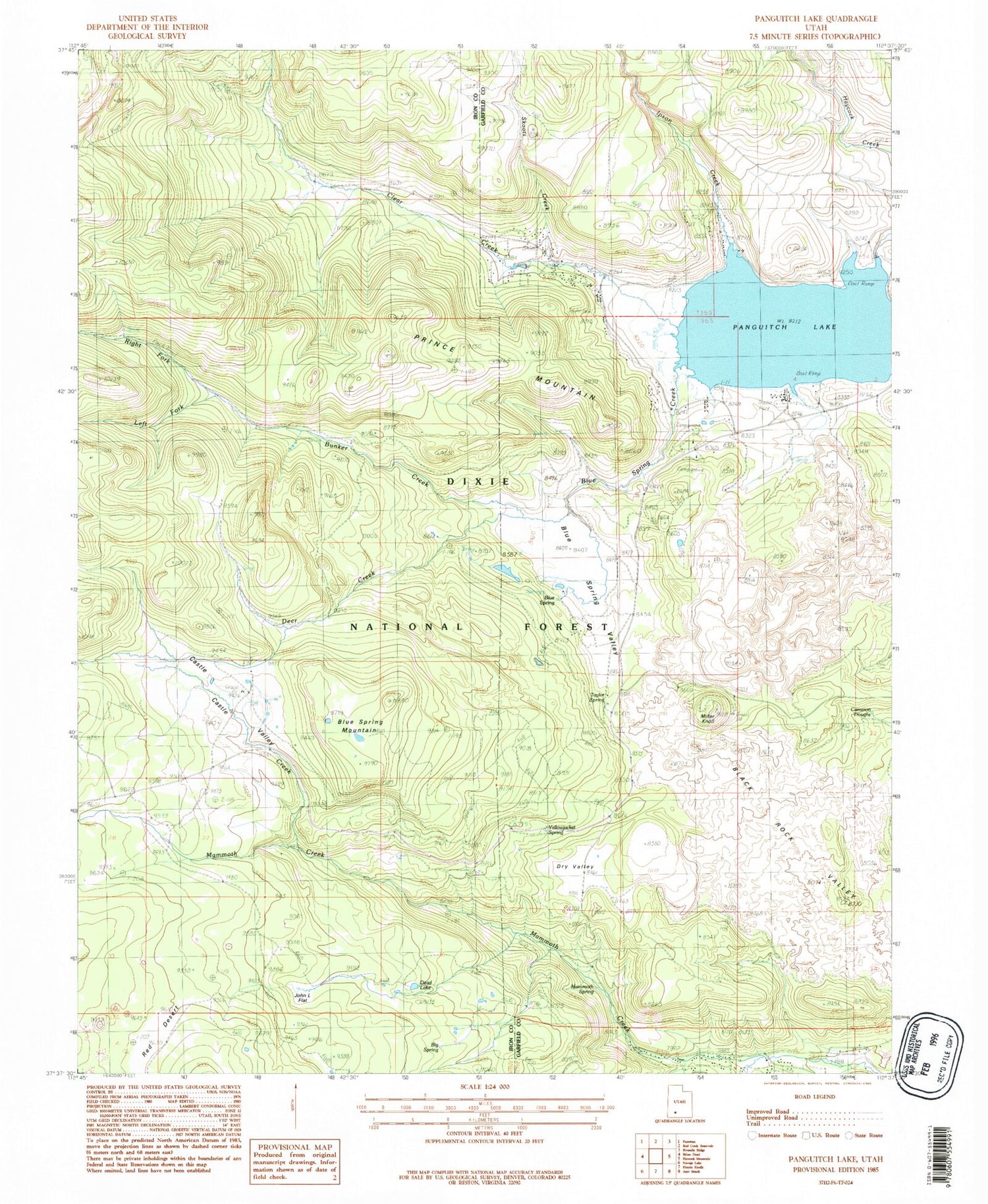
Classic USGS Panguitch Lake Utah 7.5'x7.5' Topo Map
Couldn't load pickup availability
Historical USGS topographic quad map of Panguitch Lake in the state of Utah. Typical map scale is 1:24,000, but may vary for certain years, if available. Print size: 24" x 27"
This quadrangle is in the following counties: Garfield, Iron.
The map contains contour lines, roads, rivers, towns, and lakes. Printed on high-quality waterproof paper with UV fade-resistant inks, and shipped rolled.
Contains the following named places: Cameron Troughs, Birch Springs, Big Spring, Blue Spring, Blue Spring Creek, Blue Spring Mountain, Blue Spring Valley, Bunker Creek, Castle Creek, Castle Valley, Clear Creek, Dead Lake, Deer Creek, Dry Valley, Ipson Creek, Mammoth Spring, Miller Knoll, Prince Mountain, Skoots Creek, Taylor Spring, Tommy Creek, Twin Hollow, Yellowjacket Spring, Panguitch Lake, Panguitch Lake Dam, Cameron Troughs, Left Fork Bunker Creek, Right Fork Bunker Creek, Blue Spring Creek, Beaver Dam Lodge, Deer Trail Logde, Mammoth Springs Campground, Panguitch Lake North Campground, Panguitch Lake Resort, Panguitch Lake South Campground, Rustic Lodge, Panquitch Lake Forest Service Station, John L Flat, Mammoth Creek Volunteer Fire Department


