MyTopo
Classic USGS Panjab Creek Washington 7.5'x7.5' Topo Map
Couldn't load pickup availability
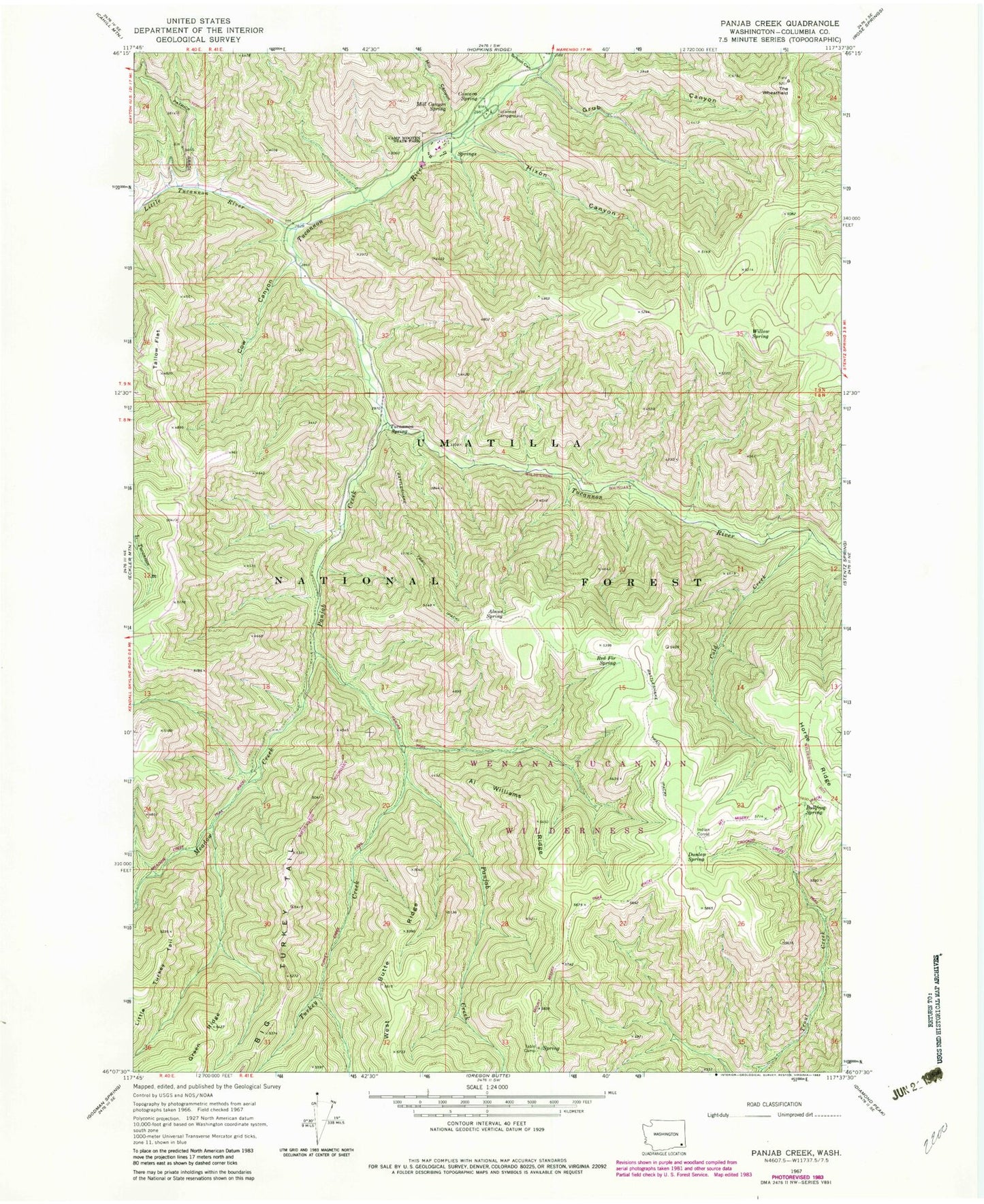
Historical USGS topographic quad map of Panjab Creek in the state of Washington. Typical map scale is 1:24,000, but may vary for certain years, if available. Print size: 24" x 27"
This quadrangle is in the following counties: Columbia.
The map contains contour lines, roads, rivers, towns, and lakes. Printed on high-quality waterproof paper with UV fade-resistant inks, and shipped rolled.
Contains the following named places: Al Williams Ridge, Alnus Spring, Camp Wooten State Park, Cascara Spring, Cold Creek, Cow Canyon, Dunlap Spring, Grub Canyon, Hixon Canyon, Indian Corral, Little Tucannon River, Meadow Creek, Mill Canyon, Mill Canyon Spring, Panjab Campground, Panjab Creek, Rattlesnake Trail, Red Fir Spring, Salter Trail, School Canyon, Table Camp, Tallow Flat, The Wheatfield, Tucannon Campground, Tucannon Spring, Turkey Creek, Willow Spring, Panjab Trail, Turkey Creek Trail, Bear Spring, Bullfrog Spring, Tucannon Game Reserve, Camp Wooten Environmental Learning Center, Tablecamp Spring, Panjab Trailhead, Mount Misery Trail