MyTopo
Classic USGS Panther Creek California 7.5'x7.5' Topo Map
Regular price
$16.95
Regular price
Sale price
$16.95
Unit price
per
Couldn't load pickup availability
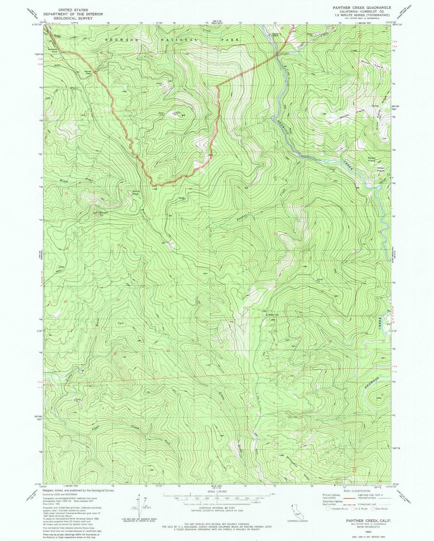
Historical USGS topographic quad map of Panther Creek in the state of California. Map scale may vary for some years, but is generally around 1:24,000. Print size is approximately 24" x 27"
This quadrangle is in the following counties: Humboldt.
The map contains contour lines, roads, rivers, towns, and lakes. Printed on high-quality waterproof paper with UV fade-resistant inks, and shipped rolled.
Contains the following named places: Barber Prairie, Beaver School, Coyote Creek, Devils Pass, Devils Peak, Garrett Creek, Indian Prairie, Johnson Prairie, Panther Creek, Ray Hurd Ranch, Shotgun Pass, Squaw Prairie, Squaw Tit, Upper South Fork Little River