MyTopo
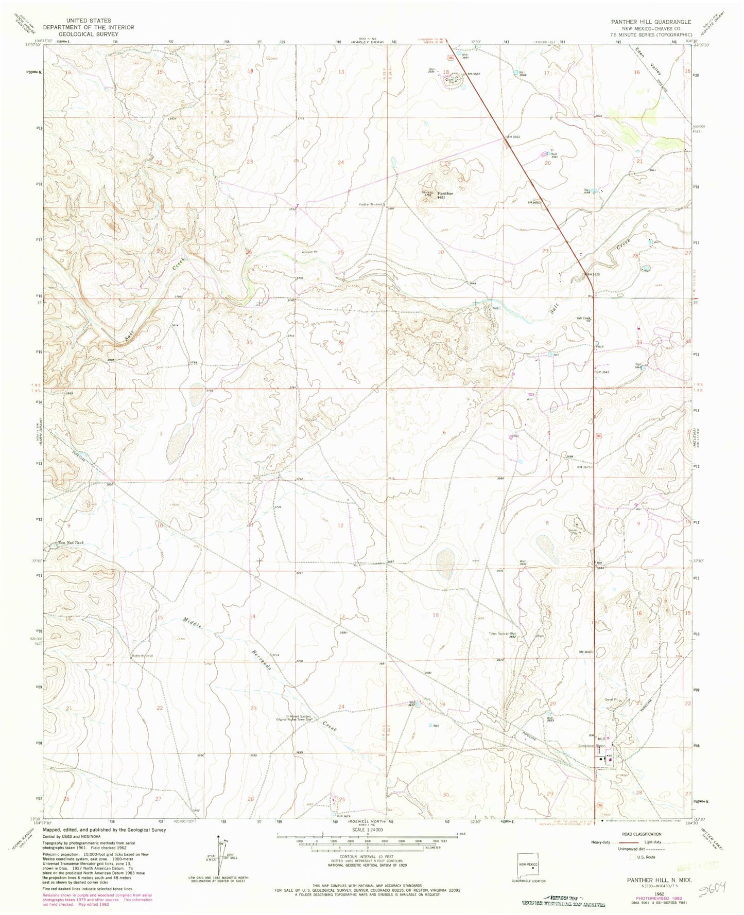
Classic USGS Panther Hill New Mexico 7.5'x7.5' Topo Map
Regular price
$16.95
Regular price
Sale price
$16.95
Unit price
per
Couldn't load pickup availability
Historical USGS topographic quad map of Panther Hill in the state of New Mexico. Map scale may vary for some years, but is generally around 1:24,000. Print size is approximately 24" x 27"
This quadrangle is in the following counties: Chaves.
The map contains contour lines, roads, rivers, towns, and lakes. Printed on high-quality waterproof paper with UV fade-resistant inks, and shipped rolled.
Contains the following named places: Barn Draw, Butler Windmill, Dr Robert Goddard Original Rocket Tower Site, Eden Valley, Panther Hill, Panther Windmill, Salt Creek Church, Toltec Record Well, Tom Ned Tank