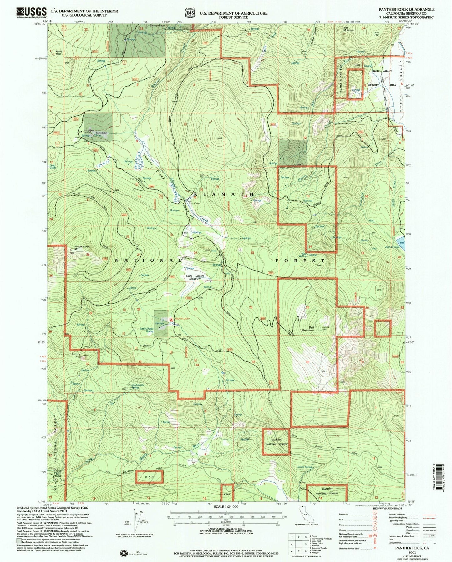
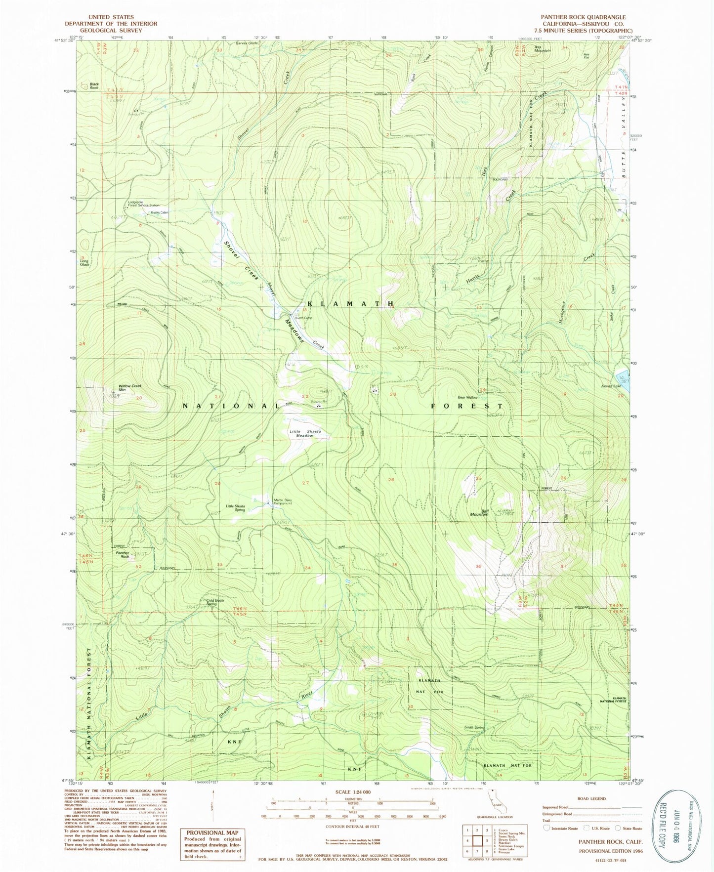
MyTopo
Classic USGS Panther Rock California 7.5'x7.5' Topo Map
Couldn't load pickup availability
Historical USGS topographic quad map of Panther Rock in the state of California. Map scale may vary for some years, but is generally around 1:24,000. Print size is approximately 24" x 27"
This quadrangle is in the following counties: Siskiyou.
The map contains contour lines, roads, rivers, towns, and lakes. Printed on high-quality waterproof paper with UV fade-resistant inks, and shipped rolled.
Contains the following named places: Ball Mountain, Bear Wallow, Black Rock, Burnt Camp, Burnt Camp Trail, Butte Mountain, Cold Bottle Spring, Garvey Glade, Harris Creek, Ikes Creek, Ikes Flat, Ikes Mountain, Kucks Cabin, Little Shasta Meadow, Little Shasta Ranger Station, Little Shasta Spring, Lodgepole Forest Station, Martin Dairy, Martin Dairy Campground, Mills Ranch, Muskgrave Creek, Panther Creek, Panther Rock, Seikel Creek, Shovel Creek Meadows, Smith Spring, Willow Creek Mountain, Willow Creek Mountain Trail