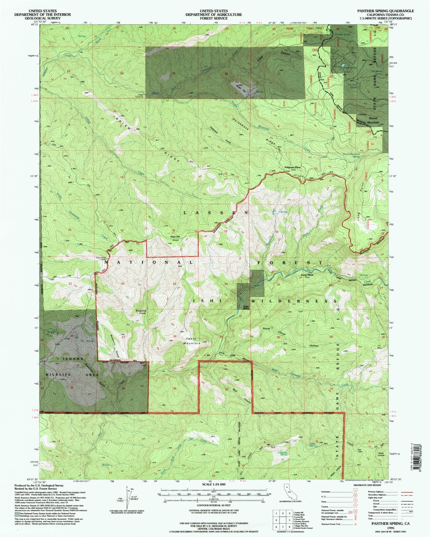
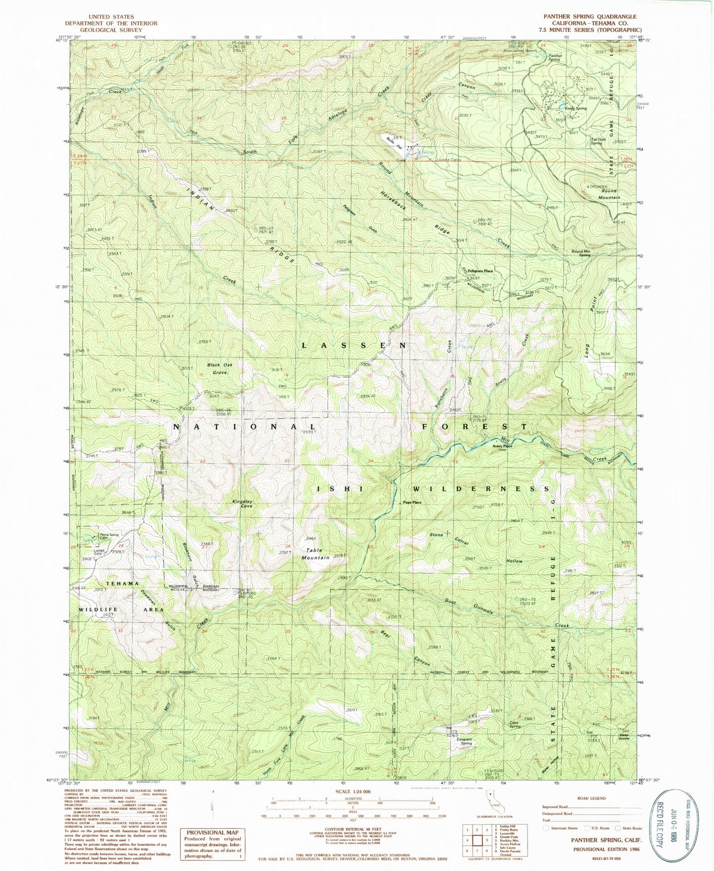
MyTopo
Classic USGS Panther Spring California 7.5'x7.5' Topo Map
Couldn't load pickup availability
Historical USGS topographic quad map of Panther Spring in the state of California. Typical map scale is 1:24,000, but may vary for certain years, if available. Print size: 24" x 27"
This quadrangle is in the following counties: Tehama.
The map contains contour lines, roads, rivers, towns, and lakes. Printed on high-quality waterproof paper with UV fade-resistant inks, and shipped rolled.
Contains the following named places: Avery Creek, Bear Canyon, Black Oak Grove, Boat Gunwale Creek, Buckhorn Gulch, Bucks Flat, Cave Spring, Crazy Canyon, Davison Spring, Deadman Gulch, Emigrant Spring, Horseback Ridge, Indian Ridge, Kingsley Cove, Knass Spring, Long Point, North Fork Antelope Creek, Panther Spring, Panther Spring Guard Station, Payne Spring Cabin, Peligreen Gulch, Rancheria Creek, Round Mountain, Round Mountain Creek, Round Mountain Spring, South Fork Antelope Creek, Steep Hollow, Stone Corral Hollow, Table Mountain, Tail Holt Spring, Two-Barrel Spring, Wild Horse Corral, Little Bucks Flat, Avery Place, Blunkall Crossing, Cedar Crossing, Pape Place, Peligreen Place, East Tehama Division