MyTopo
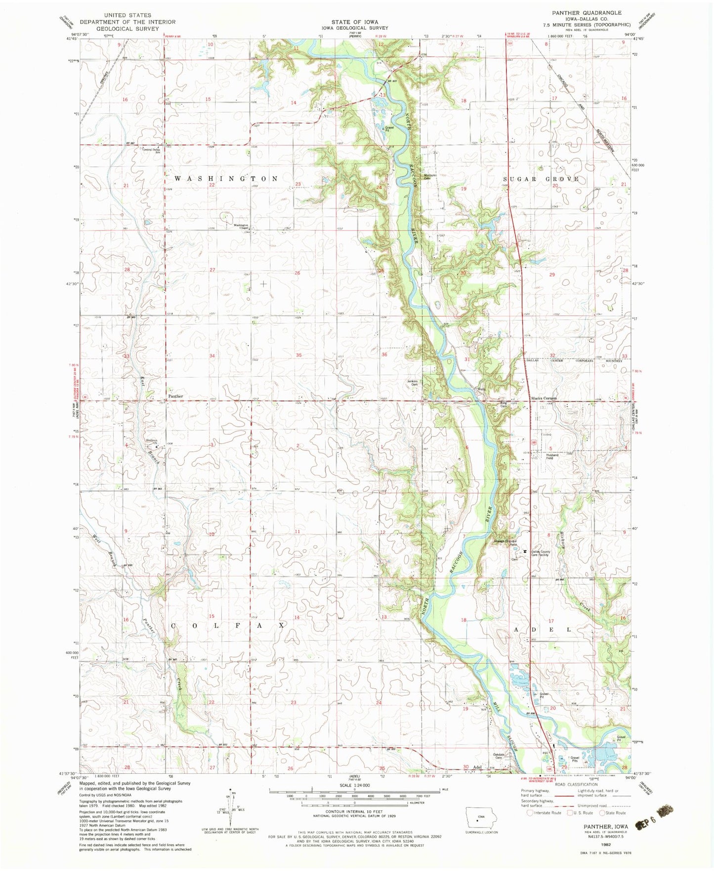
Classic USGS Panther Iowa 7.5'x7.5' Topo Map
Couldn't load pickup availability
Historical USGS topographic quad map of Panther in the state of Iowa. Map scale may vary for some years, but is generally around 1:24,000. Print size is approximately 24" x 27"
This quadrangle is in the following counties: Dallas.
The map contains contour lines, roads, rivers, towns, and lakes. Printed on high-quality waterproof paper with UV fade-resistant inks, and shipped rolled.
Contains the following named places: Black Corners, Central Dallas School, County Home Cemetery, Crellin Wildlife Refuge, Dallas County, Dallas County Care Facility, East Branch Panther Creek, Highway Forty-Four Access, Husband Field, Jenkins Cemetery, King Cemetery, Minburn Cemetery, Oakdale Cemetery, Panther, Panther Creek Church, Panther Creek Church of the Brethren, Panther Creek Church of the Brethren Cemetery, Panther Post Office, Pierce Point, River Valley Golf Course, Snyder Access, Township of Colfax, Township of Washington, Washington Chapel, Washington School, West Branch Panther Creek, ZIP Code: 50167


