MyTopo
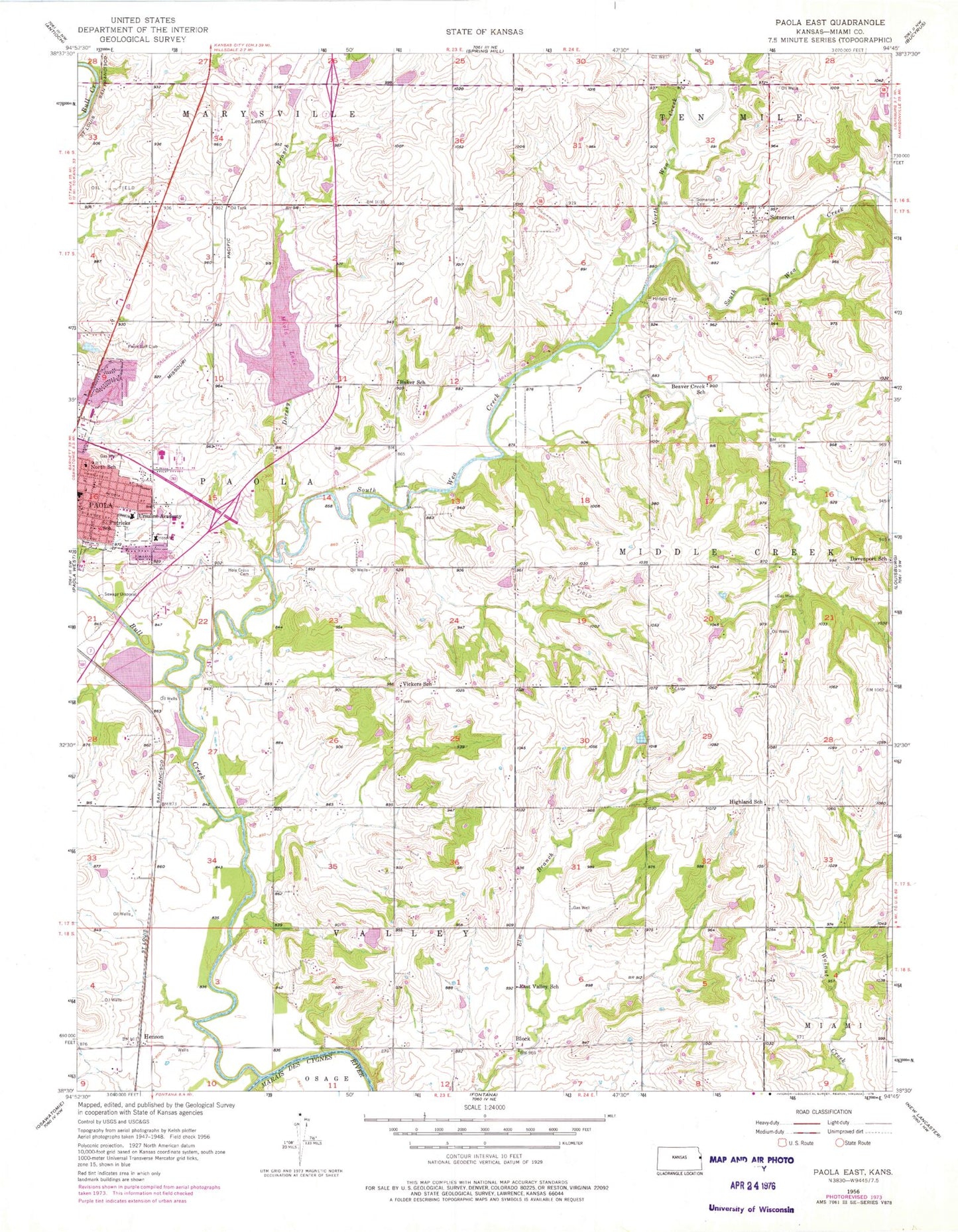
Classic USGS Paola East Kansas 7.5'x7.5' Topo Map
Couldn't load pickup availability
Historical USGS topographic quad map of Paola East in the state of Kansas. Map scale may vary for some years, but is generally around 1:24,000. Print size is approximately 24" x 27"
This quadrangle is in the following counties: Miami.
The map contains contour lines, roads, rivers, towns, and lakes. Printed on high-quality waterproof paper with UV fade-resistant inks, and shipped rolled.
Contains the following named places: Baker School, Beaver Creek School, Block, Bull Creek, City of Paola, Cloud 9 Airport, Cottonwood Elementary School, Cross Point Assembly of God Church, Davenport School, Dorsey Branch, East Valley School, First Lutheran Church, Frank Cemetery, Henson, Highland Cemetery, Highland School, Hodges Cemetery, Holy Cross Cemetery, Holy Trinity Catholic Church, Holy Trinity Catholic School, Kansas Highway Patrol Troop A Miami, Lakemary Center, Lento, Lighthouse Presbyterian Church, Miami County, Miami County Fairgrounds, Miami County Health Department, Miami County Medical Center, Miami County Public Works, Miola Lake, Miola Lake Dam, North Wea Creek, Northridge Business Park, Paola Business Park, Paola Carrier Annex Post Office, Paola Christian Church, Paola Community Center, Paola Country Club, Paola High School, Paola Middle School, Paola North Elementary School, Paola Police Department, Paola Public Works, Paola Wastewater Treatment Facility, Pendleton, Somerset, Somerset Cemetery, Somerset Census Designated Place, South Wea Creek, Sunflower Elementary School, The Church of Jesus Christ of Latter Day Saints, Township of Valley, Ursuline Academy, Ursuline Cemetery, Vickers School, Whispering Oaks Dam Number One, ZIP Code: 66071


