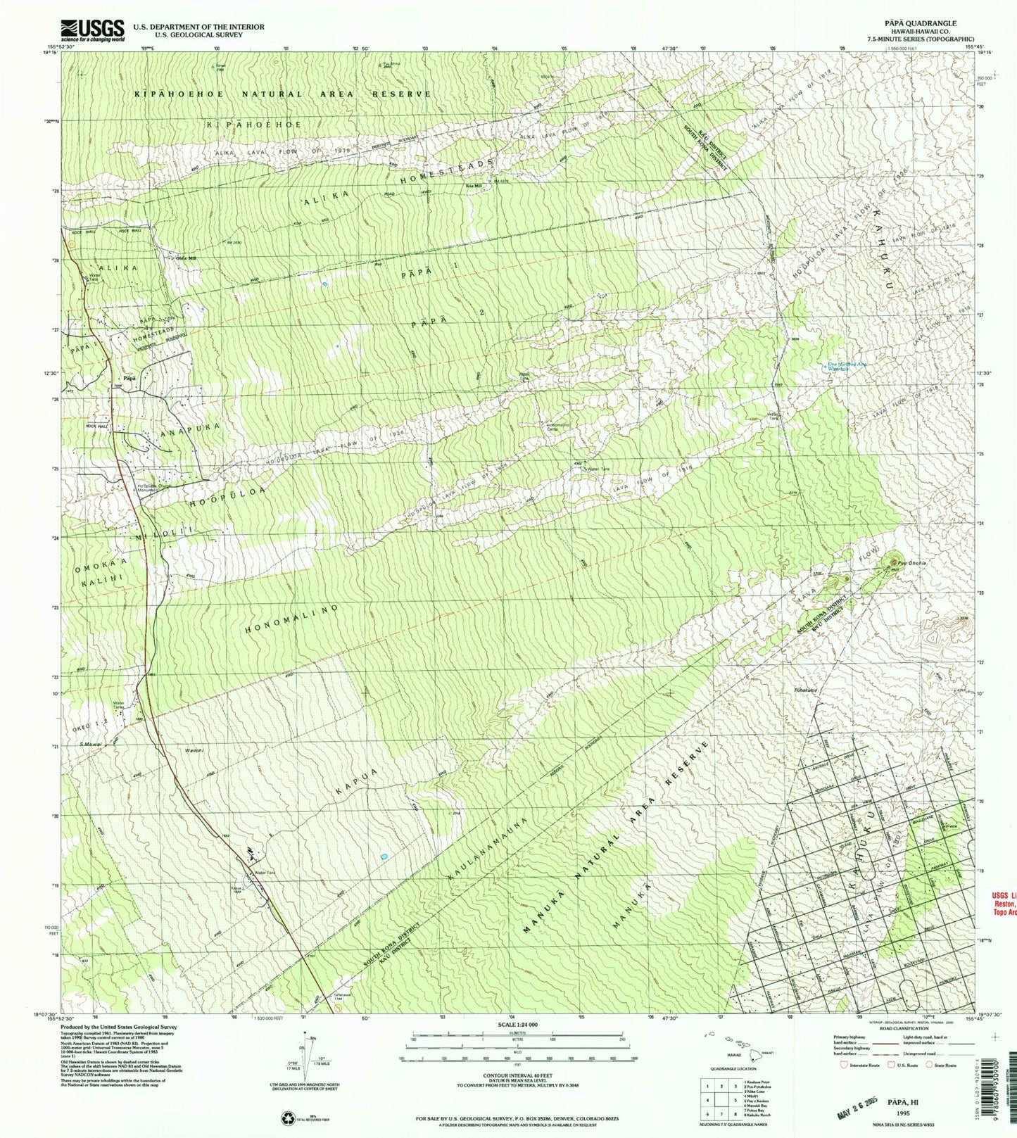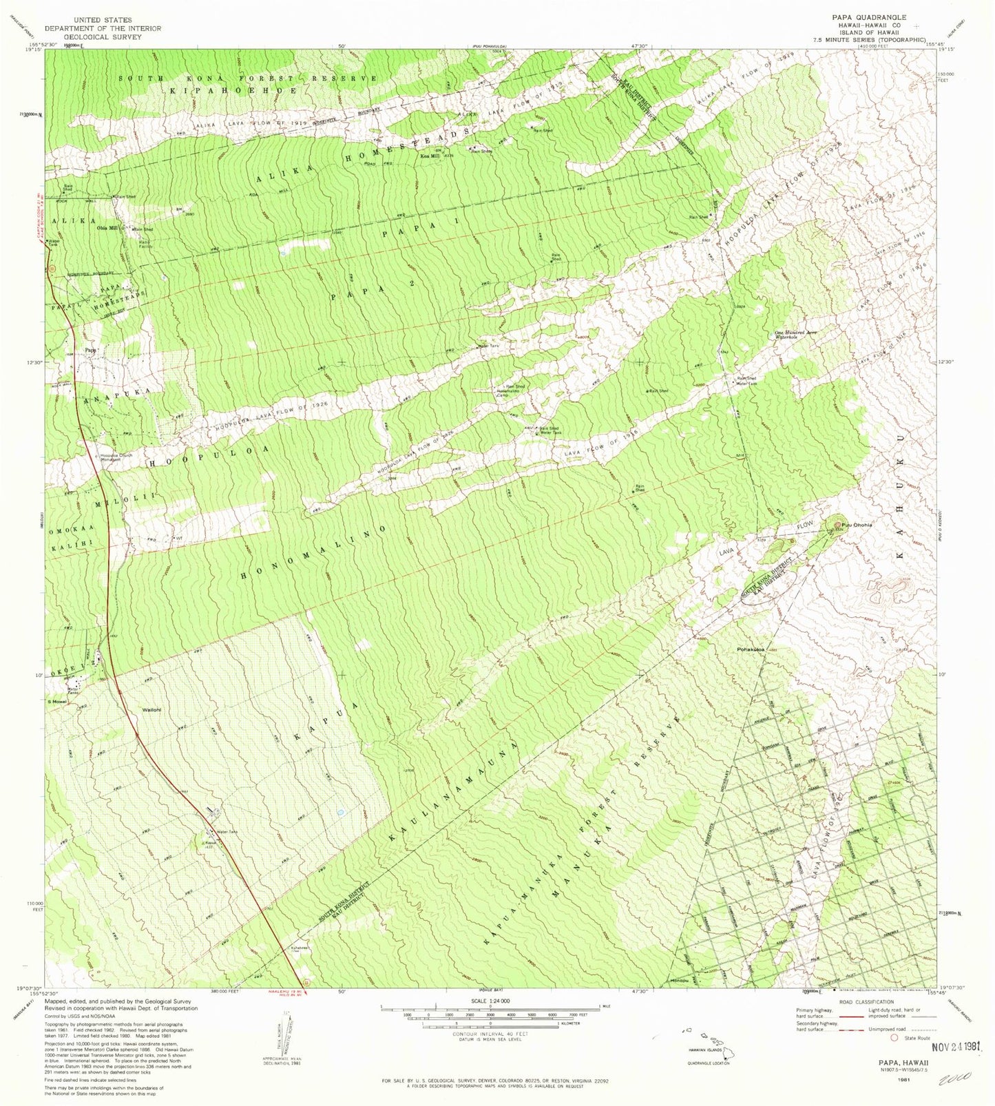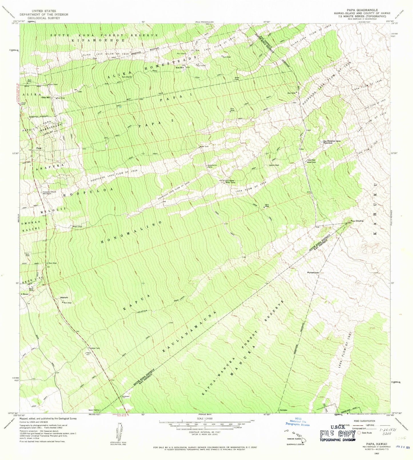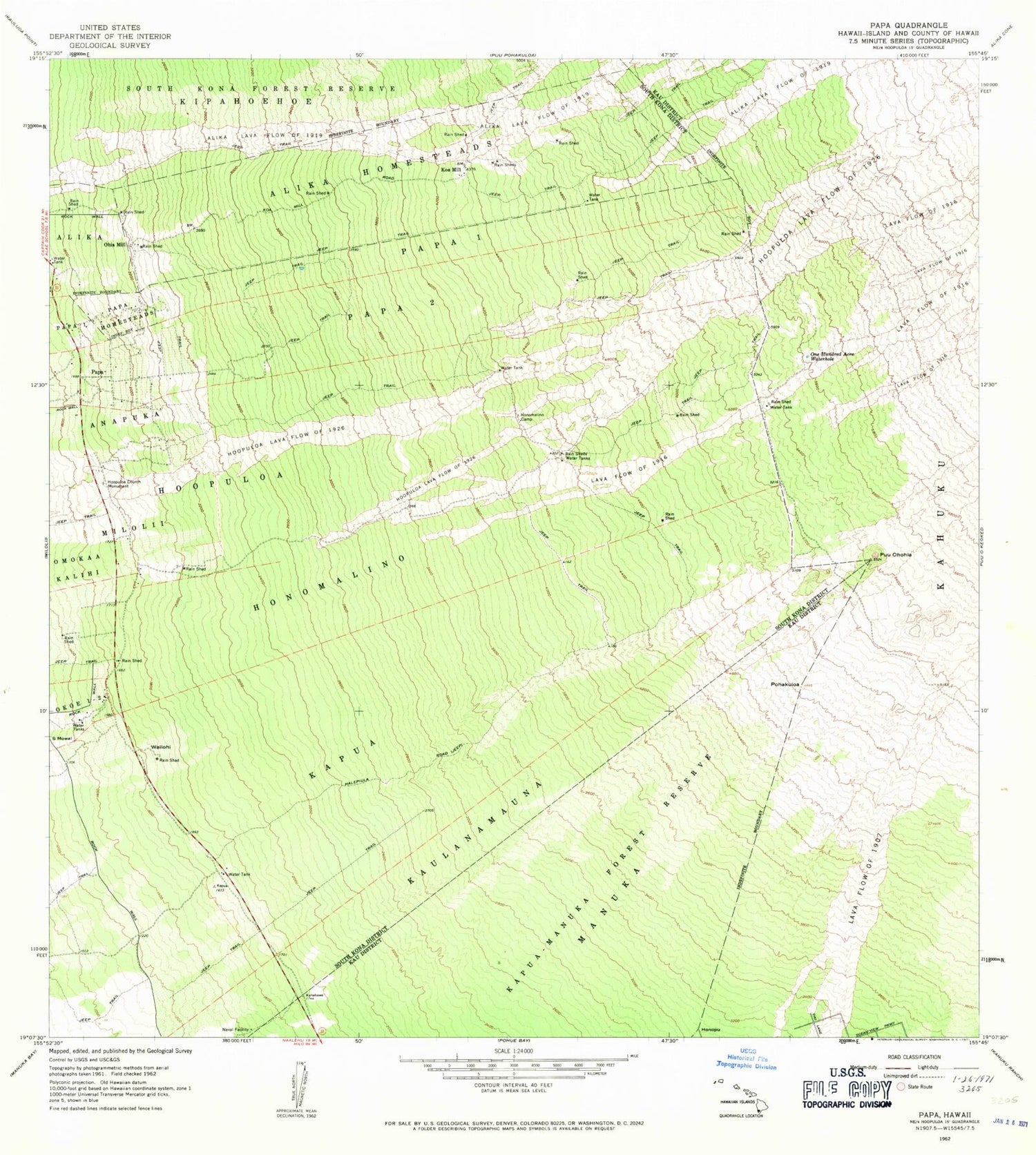
MyTopo
Classic USGS Papa Hawaii 7.5'x7.5' Topo Map
Couldn't load pickup availability
Historical USGS topographic quad map of Papa in the state of Hawaii. Map scale may vary for some years, but is generally around 1:24,000. Print size is approximately 24" x 27"
This quadrangle is in the following counties: Hawaii.
The map contains contour lines, roads, rivers, towns, and lakes. Printed on high-quality waterproof paper with UV fade-resistant inks, and shipped rolled.
Contains the following named places: Alika Homesteads, 'Alika Lava Flow of 1919, Halepiula Road, Honomalino, Honomalino Camp, Ho'opuloa, Ho'opuloa Church Monument, Ho'opuloa Lava Flow of 1926, Kapu'a, Kaulanamauna, Kipahoehoe, Koa Mill, Manuka Forest Reserve, Ohia Mill, One Hundred Acre Waterhole, Papa, Papa 1, Papa 2, Papa Homesteads, Pohakuloa, Puu Ohohia, S Mowai, Wailohi