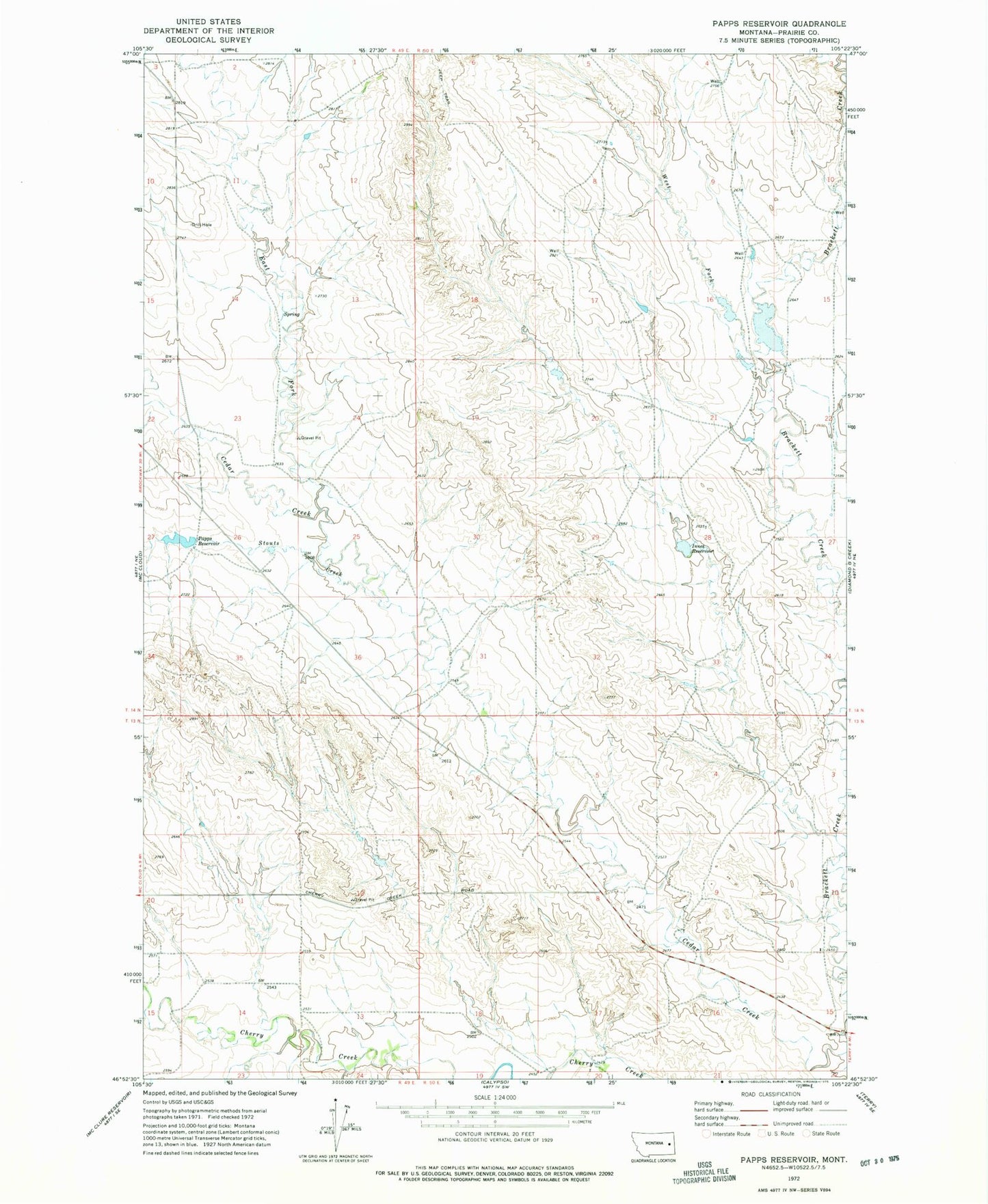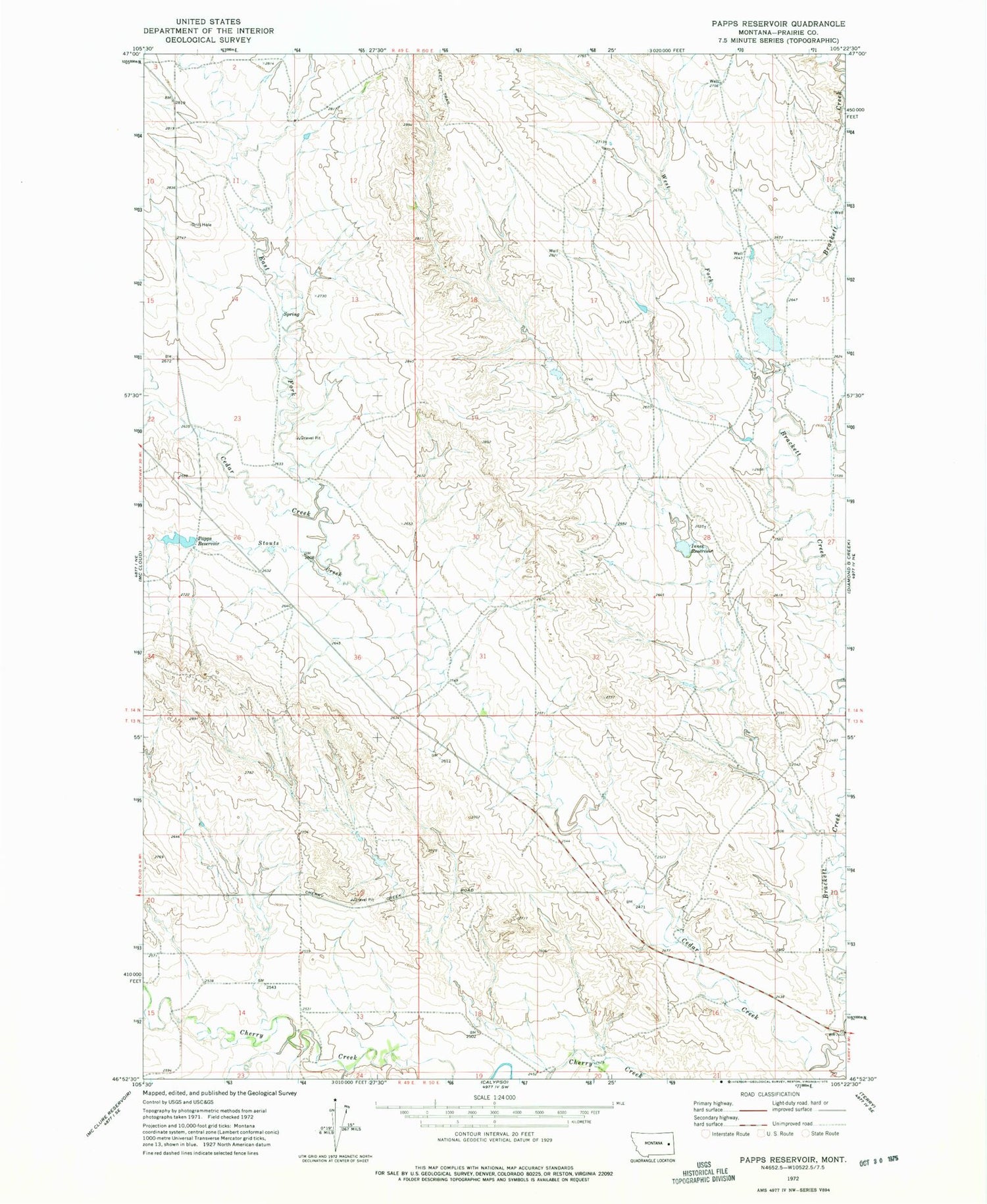
MyTopo
Classic USGS Papps Reservoir Montana 7.5'x7.5' Topo Map
Regular price
$16.95
Regular price
Sale price
$16.95
Unit price
per
Couldn't load pickup availability
Historical USGS topographic quad map of Papps Reservoir in the state of Montana. Map scale may vary for some years, but is generally around 1:24,000. Print size is approximately 24" x 27"
This quadrangle is in the following counties: Prairie.
The map contains contour lines, roads, rivers, towns, and lakes. Printed on high-quality waterproof paper with UV fade-resistant inks, and shipped rolled.
Contains the following named places: 13N49E02CCDB01 Well, 13N50E09CCAA01 Well, 13N50E10CDDC01 Well, 14N50E29DCBA01 Well, East Fork Cedar Creek, Fraser School, Innes Reservoir, Innes Reservoir Dam, Nefsy Number 2 Dam, Nefsy Number 3 Dam, Papps Reservoir, Roosevelt School, Stouts Creek, West Fork Brackett Creek