MyTopo
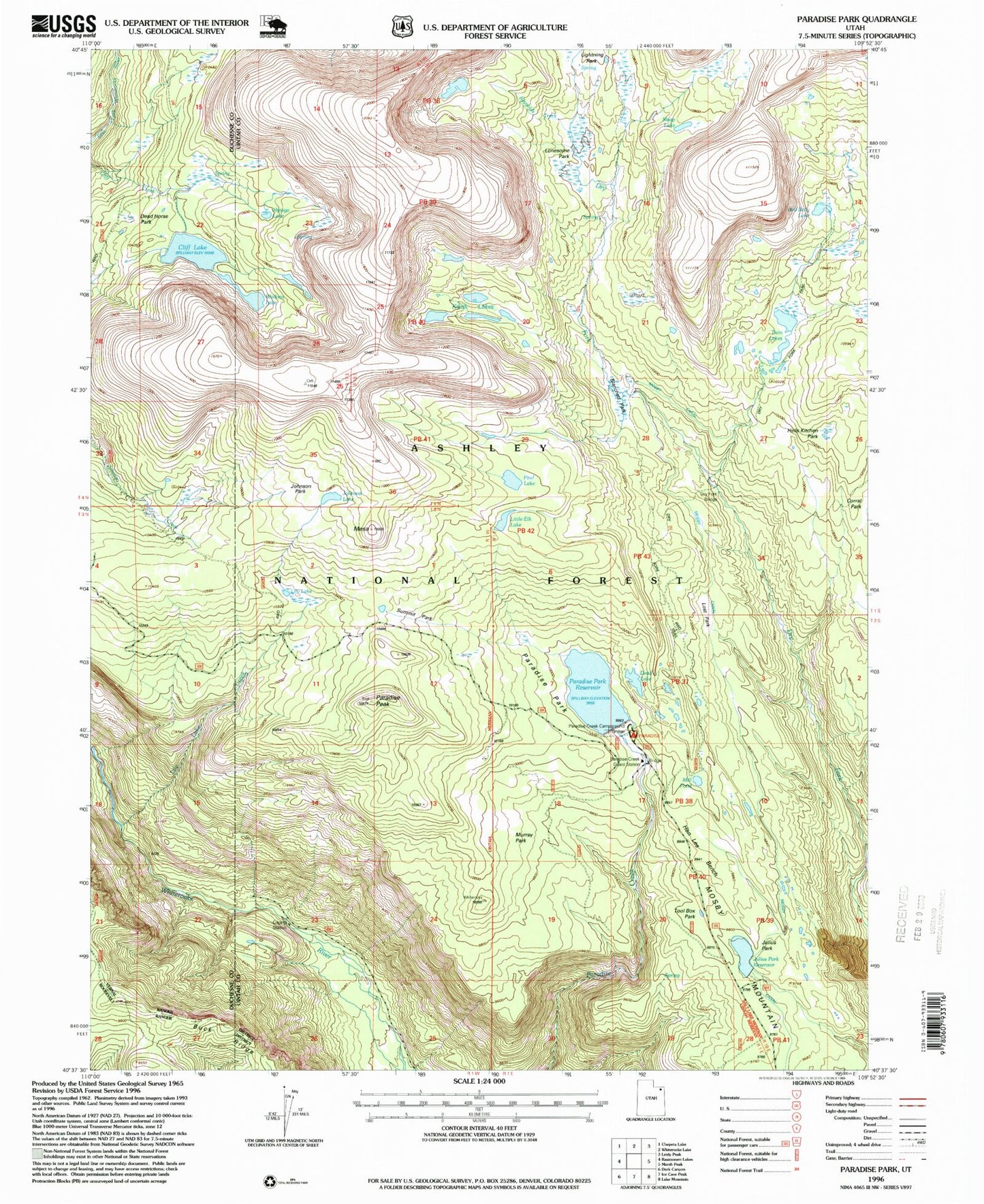
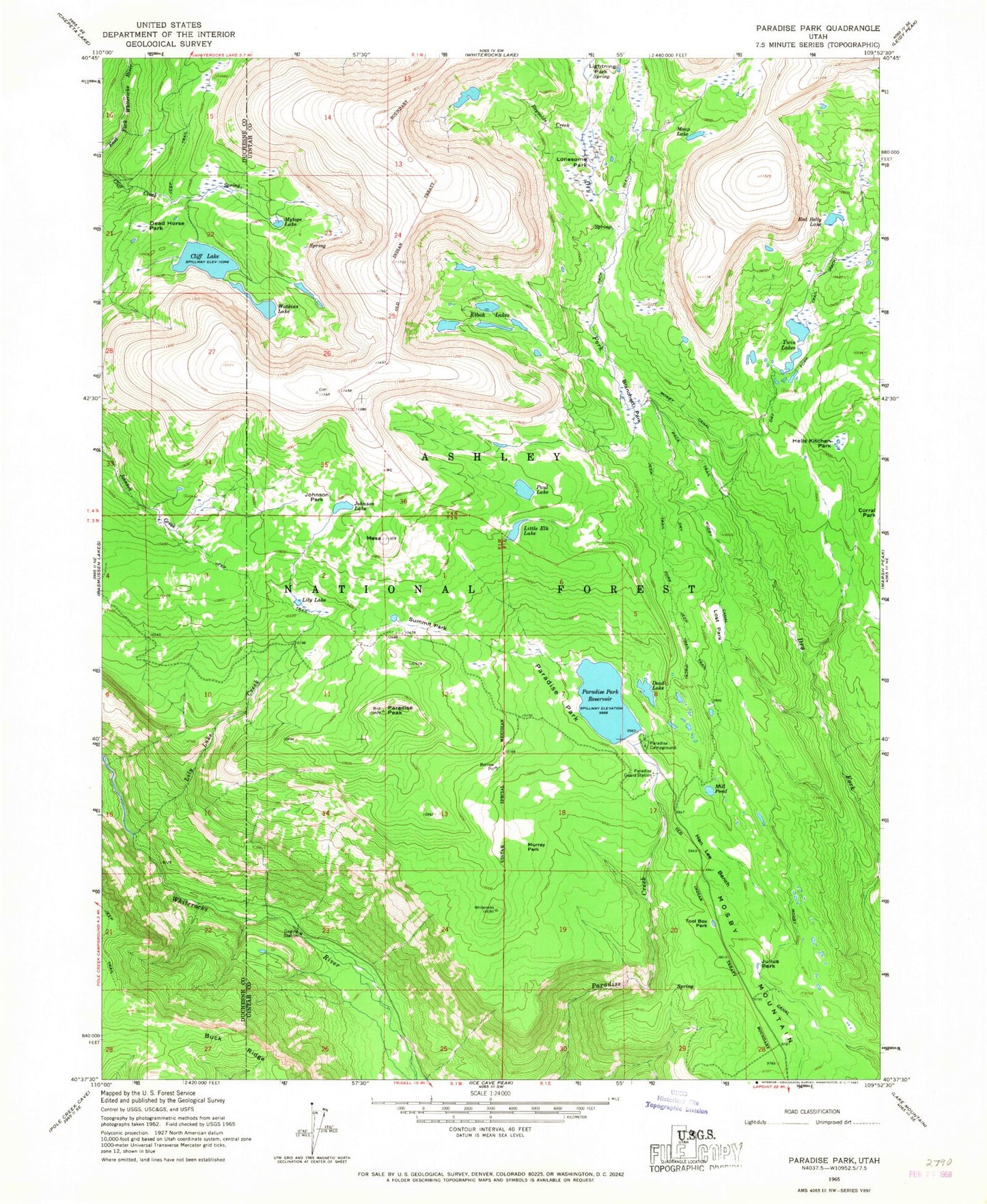
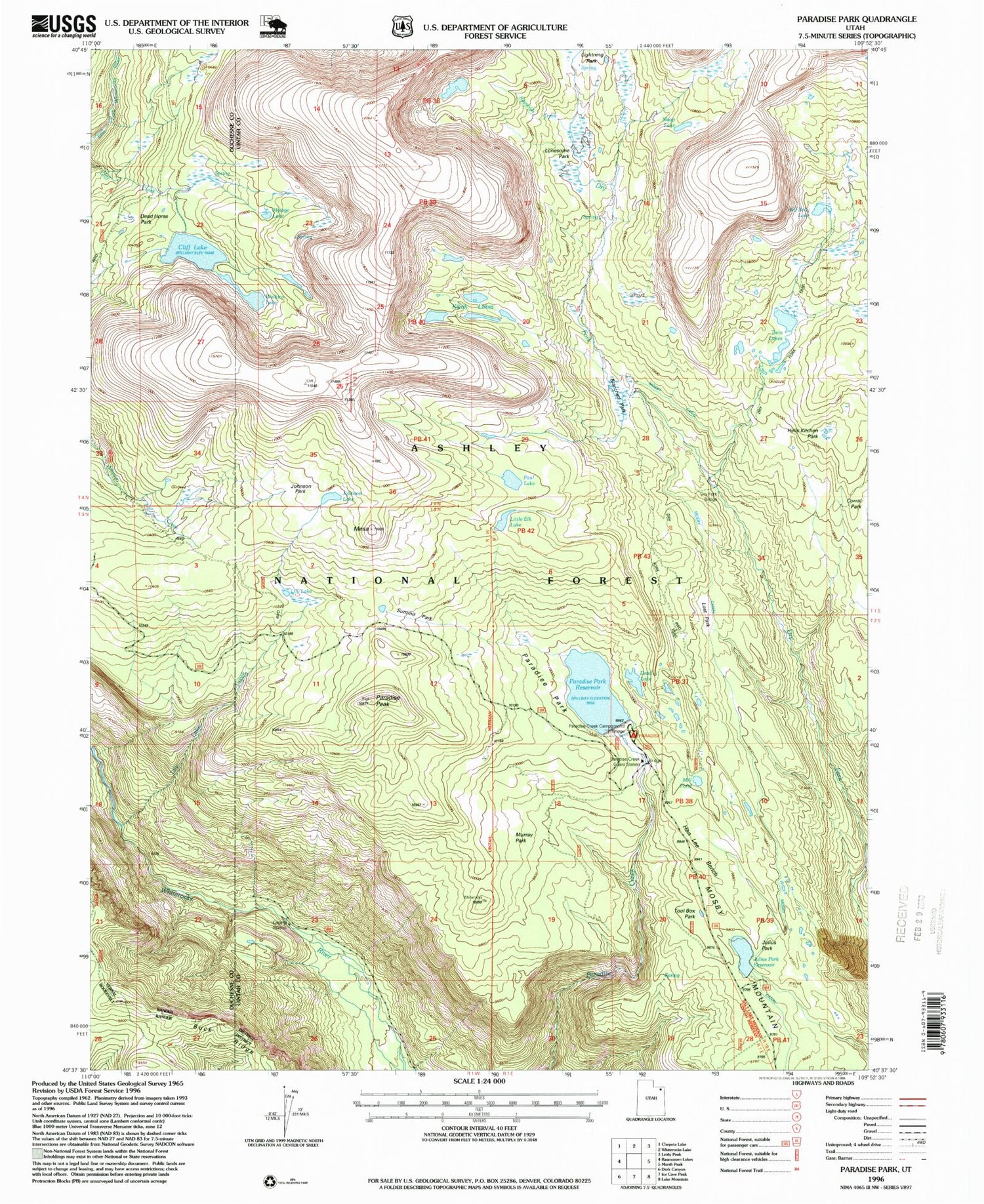
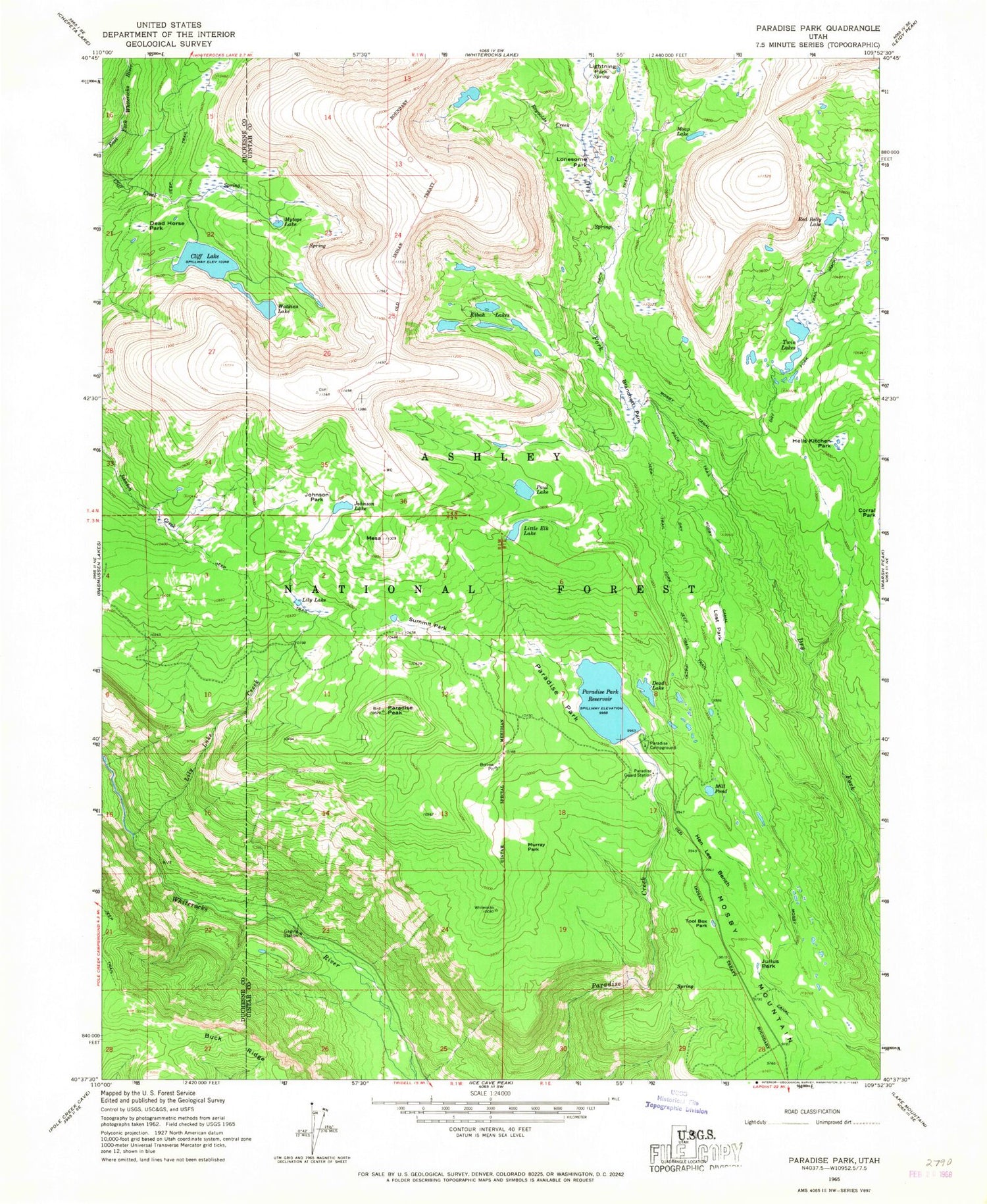
Classic USGS Paradise Park Utah 7.5'x7.5' Topo Map
Couldn't load pickup availability
Historical USGS topographic quad map of Paradise Park in the state of Utah. Typical map scale is 1:24,000, but may vary for certain years, if available. Print size: 24" x 27"
This quadrangle is in the following counties: Duchesne, Uintah.
The map contains contour lines, roads, rivers, towns, and lakes. Printed on high-quality waterproof paper with UV fade-resistant inks, and shipped rolled.
Contains the following named places: Blanchett Park, Buck Ridge, Cliff Lake, Dead Horse Park, Dead Lake, Dry Fork Trail, Hells Kitchen Park, Hen Lee Bench, Johnson Lake, Johnson Park, Julius Park, Kibah Lakes, Lightning Park, Lily Lake, Lily Lake Creek, Little Elk Lake, Lonesome Park, Lost Park, Mesa, Mill Pond, Moap Lake, Mosby Canal, Murray Park, Mytoge Lake, Paradise Campground, Paradise Guard Station, Paradise Park, Paradise Peak, Paul Lake, Red Belly Lake, Reynolds Creek, Summit Park, Tool Box Park, Twin Lakes, Watkins Lake, Julius Park Reservoir, Julius Park Dam, Paradise Park Reservoir, Paradise Park Dam, Cliff Lake Dam, Dry Fork Bridge


