MyTopo
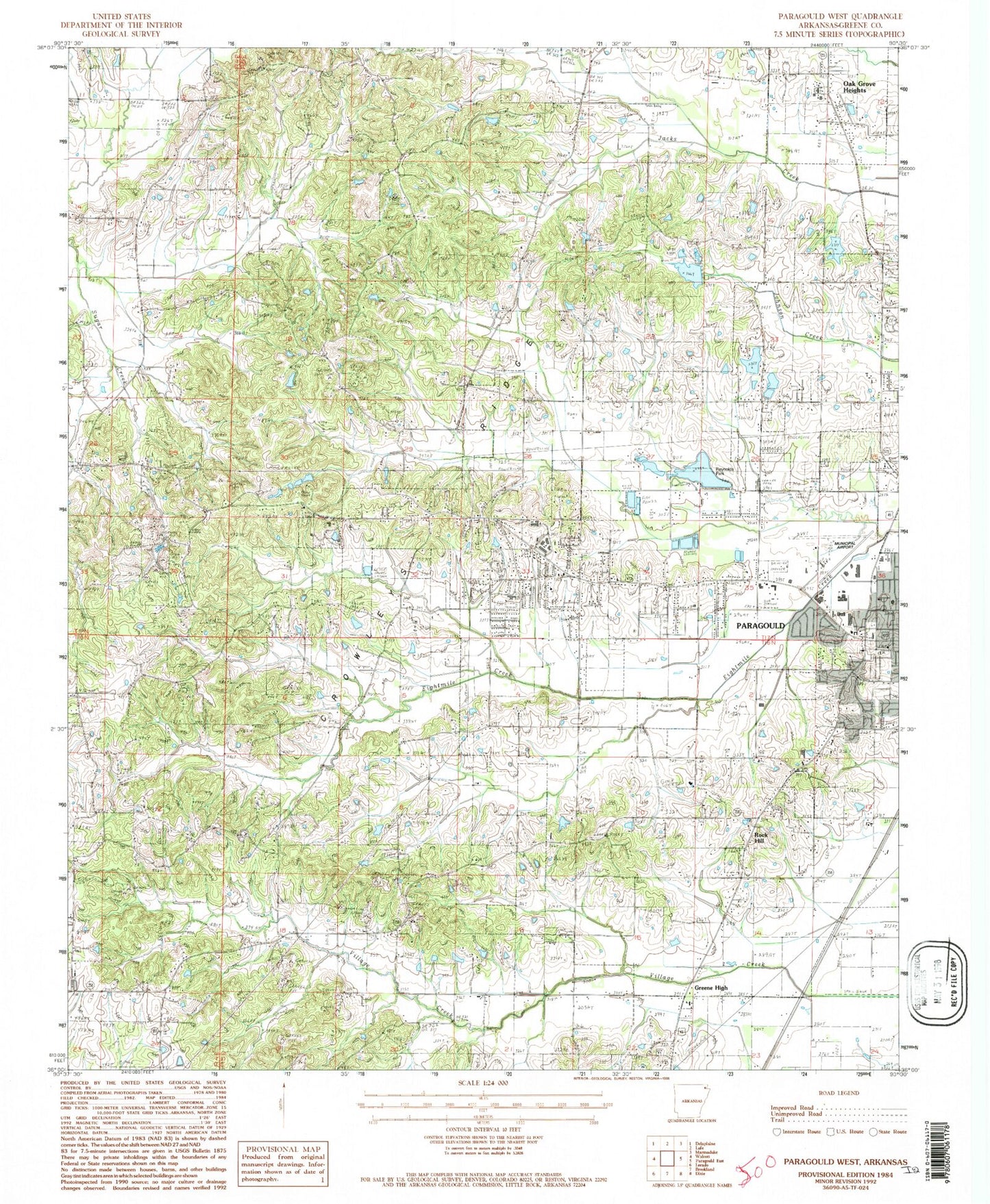
Classic USGS Paragould West Arkansas 7.5'x7.5' Topo Map
Couldn't load pickup availability
Historical USGS topographic quad map of Paragould West in the state of Arkansas. Map scale may vary for some years, but is generally around 1:24,000. Print size is approximately 24" x 27"
This quadrangle is in the following counties: Greene.
The map contains contour lines, roads, rivers, towns, and lakes. Printed on high-quality waterproof paper with UV fade-resistant inks, and shipped rolled.
Contains the following named places: Alexander Tennis Center, Arnolds Lake, Arnolds Lake Dam, Bethel Baptist Church, Bethel Cemetery, Browns Chapel Baptist Church, Browns Chapel Cemetery, Camp Ground, Camp Ground School, Campground United Methodist Church, Center Hill, Center Hill Baptist Church, Center Hill Cemetery, Center Hill Park, Center Hill School, Church of God, City of Paragould, Crossroads School, Crowley, Crowley Ridge Junior College, Crowleys Ridge Academy, Fairview, Fairview Baptist Church, Fairview Cemetery, Finch Cemetery, First Pentecostal Church, Fox Hills Country Club, Francis Bland Park, Green High, Greene County, Greene County Sheriff's Office, Greene County Tech Elementary School, Greene County Tech High School, Greene County Tech Intermediate School, Greene County Tech Junior High School, Greene County Tech Primary School, KDXY-FM (Paragould), Kirk Field, KLQZ-FM (Paragould), Linwood Cemetery, Meadow Lake, Meadow Lake Dam, Memorial Gardens Cemetery, Mount Carmel School, Mountain Home Cemetery, Mountain Home Church, Oak Grove Elementary School, Oak Grove Heights, Oak Grove Heights Baptist Church, Oak Grove Heights Fire Department, Oak Grove Heights Police Department, Oak Grove Junior High School, Oak Grove Middle School, Paragould Childrens Home, Paragould Community Center, Paragould Country Club, Paragould Fire Department Station 1, Paragould Fire Department Station 3, Paragould Fire Department Station 4, Paragould High School, Paragould Junior High School, Paragould Plaza Shopping Center, Pine Knot, Pine Knot Cemetery, Pine Knot Church, Pine Knot School, Pleasant Grove Baptist Church, Pruets Chapel Cemetery, Pruitts Chapel, Reynolds Park, Reynolds Park Lake, Reynolds Park Lake Dam, Rock Hill, Rock Hill Baptist Church, Rotary Park, Saint Marys Cemetery, School Number 44, Shiloh Cemetery, Shiloh United Methodist Church, South Elementary School, Spring Grove Church, Spring Grove School, Tech High School, Town West Shopping Center, Township of Bula, Township of Spring Grove, Union Grove Cemetery, Union Grove Church, Village Creek, West Elementary School, Wright Memorial Library, ZIP Code: 72450


