MyTopo
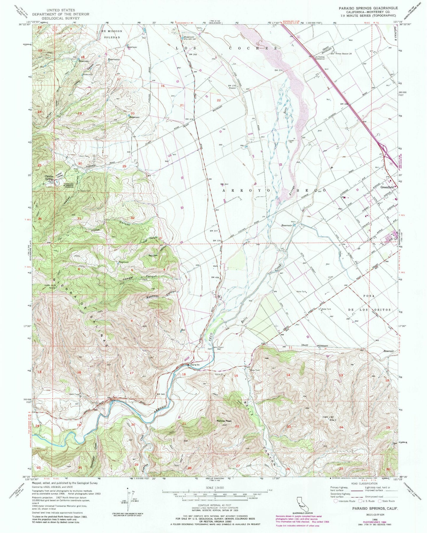
Classic USGS Paraiso Springs California 7.5'x7.5' Topo Map
Couldn't load pickup availability
Historical USGS topographic quad map of Paraiso Springs in the state of California. Map scale may vary for some years, but is generally around 1:24,000. Print size is approximately 24" x 27"
This quadrangle is in the following counties: Monterey.
The map contains contour lines, roads, rivers, towns, and lakes. Printed on high-quality waterproof paper with UV fade-resistant inks, and shipped rolled.
Contains the following named places: Arroyo Seco, Arroyo Seco School, Beeswax Canyon, Clark Ranch Airport, Force Canyon, Greenfield Memorial Building, Happy Canyon, Hogs Canyon, Indian Valley, Lasher Canyon, Los Coches Substation, Lowder Canyon, Milindee Canyon, Oak Avenue Elementary School, Olson Ranch, Paraiso Springs, Paraiso Springs School, Pettits Peak, Reliz Canyon, Reliz Creek, Sweetwater Creek, Vaqueros Creek, Vineyard of Mission Soledad