MyTopo
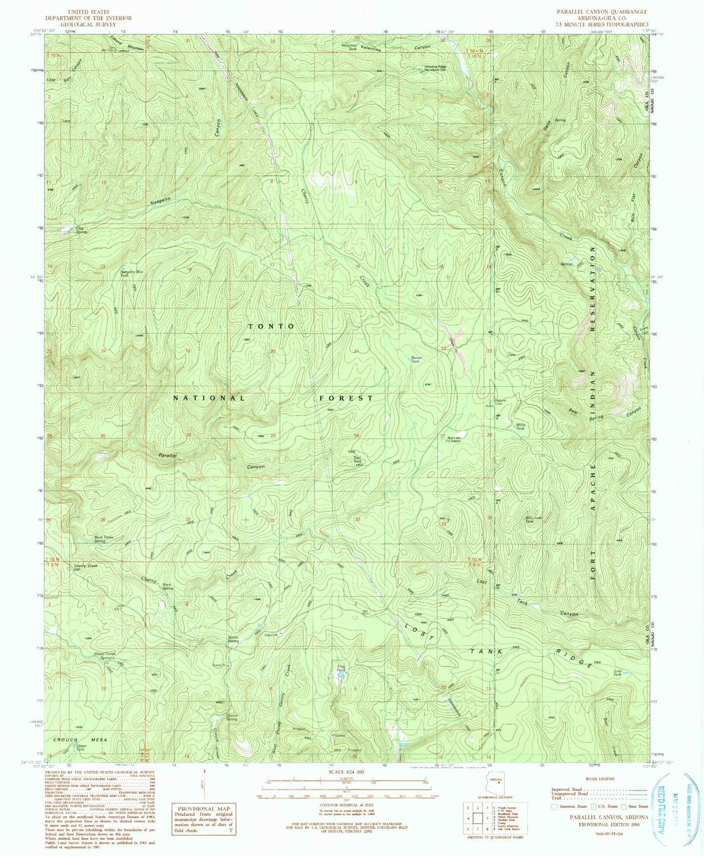
Classic USGS Parallel Canyon Arizona 7.5'x7.5' Topo Map
Couldn't load pickup availability
Historical USGS topographic quad map of Parallel Canyon in the state of Arizona. Typical map scale is 1:24,000, but may vary for certain years, if available. Print size: 24" x 27"
This quadrangle is in the following counties: Gila, Navajo.
The map contains contour lines, roads, rivers, towns, and lakes. Printed on high-quality waterproof paper with UV fade-resistant inks, and shipped rolled.
Contains the following named places: Valentine Canyon, Bottle Spring, Bull Flat Canyon, Carroll Spring, Cherry Creek Hill, Cow Creek, Frog Pond, Hells Canyon, Lost Tank, Lost Tank Ridge, Nail Ranch, Redman Cave, Sheep Corral Spring, Swamp Creek, Walnut Spring, Burn Tank, Clay Spring, Naegelin Rim Tank, Ramer Tank, Rock Spring, Rock Tanks Spring, Upper Tank, Valentine Tank, Billy June Tank, Lost Lake, Willis Tank, Red Lake Adminitrative Site, Valentine Ridge Recreation Site, Trail Tank, Valentine Ridge Campground


