MyTopo
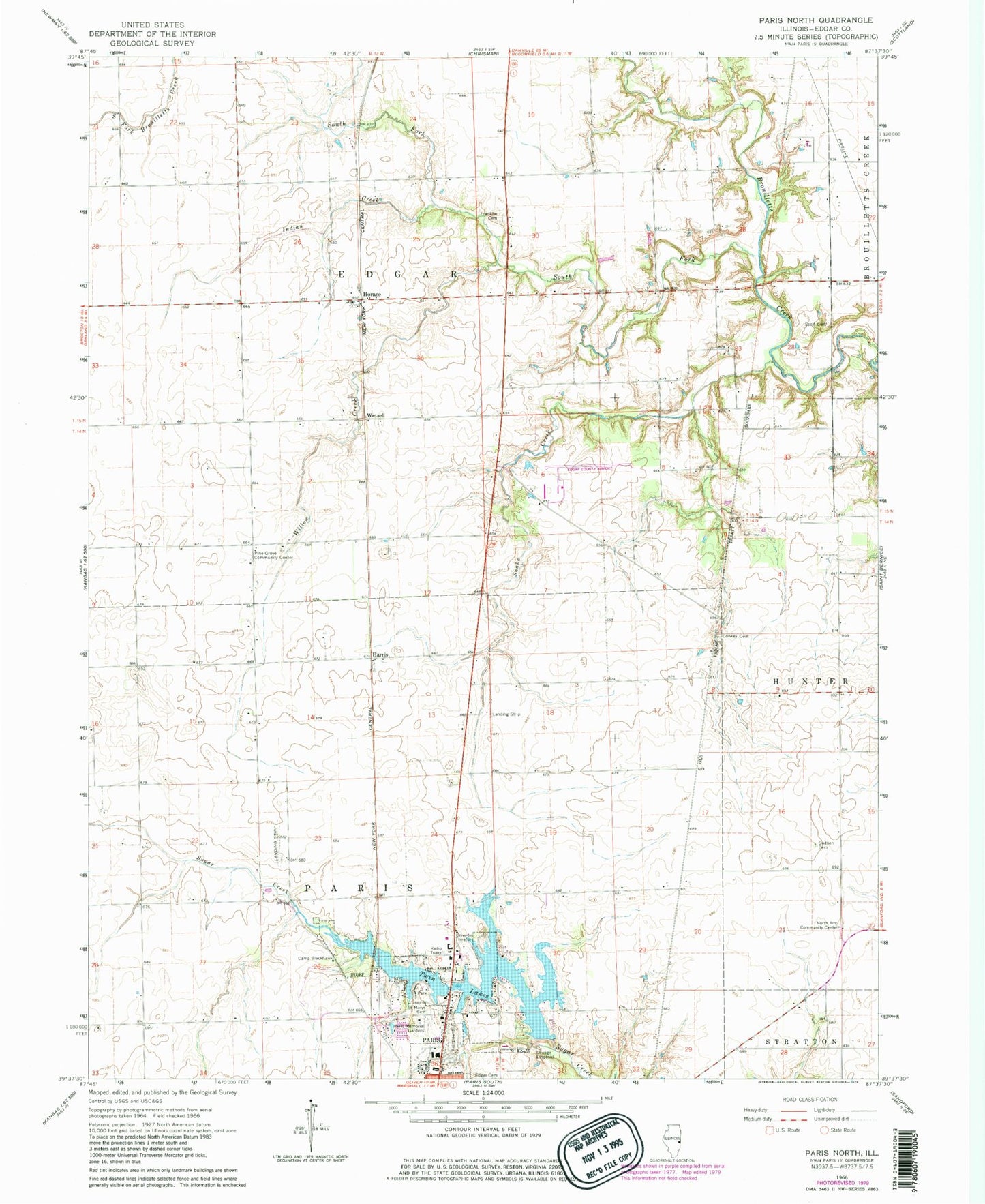
Classic USGS Paris North Illinois 7.5'x7.5' Topo Map
Couldn't load pickup availability
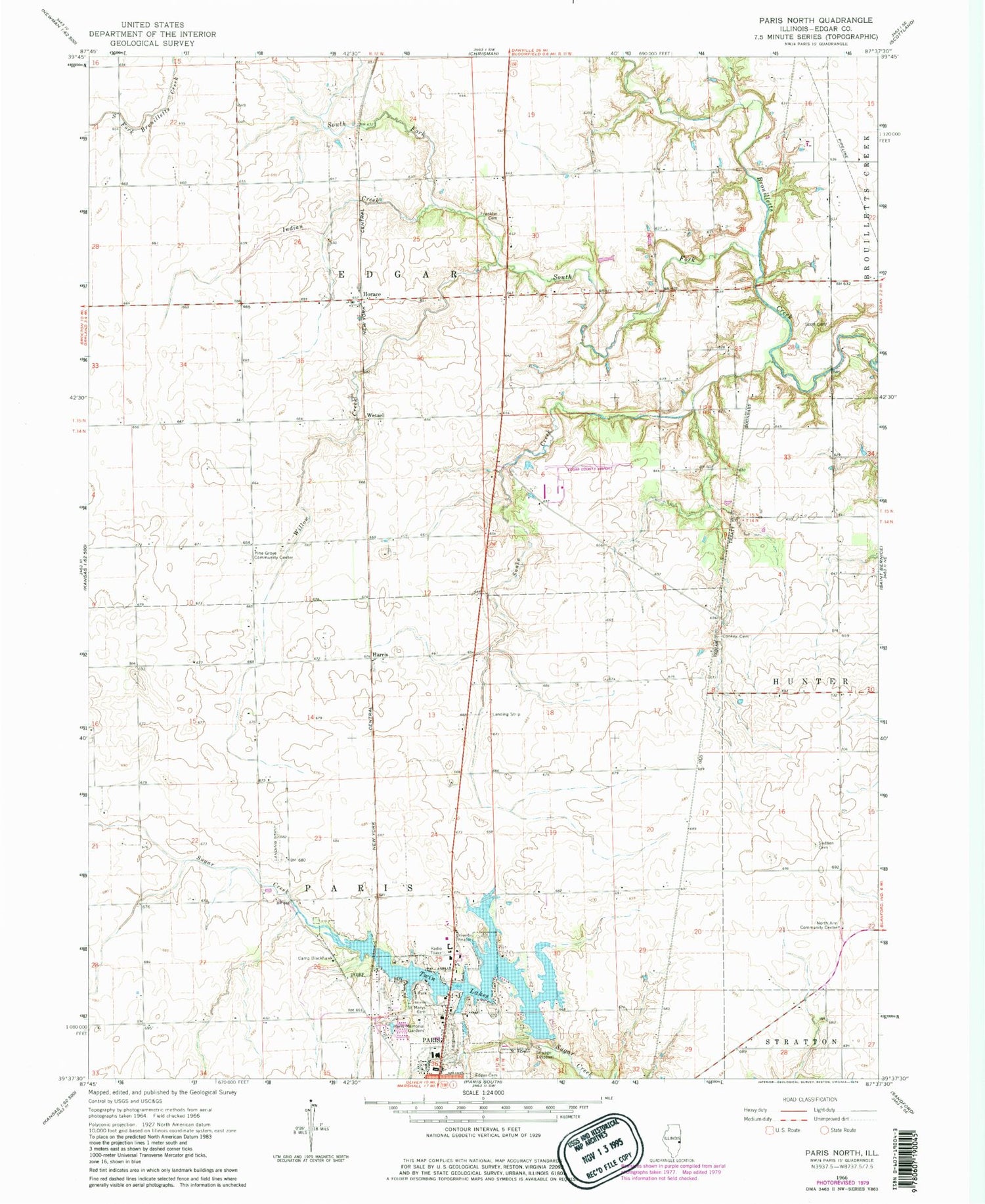
Historical USGS topographic quad map of Paris North in the state of Illinois. Map scale may vary for some years, but is generally around 1:24,000. Print size is approximately 24" x 27"
This quadrangle is in the following counties: Edgar.
The map contains contour lines, roads, rivers, towns, and lakes. Printed on high-quality waterproof paper with UV fade-resistant inks, and shipped rolled.
Contains the following named places: Baldwinsville Post Office, Baldwinville School, Banner School, Camp Blackhawk, Conkey Cemetery, Edgar County, Edgar County Airport, Franklin Cemetery, Franklin Church, Harris, Horace, Indian Creek, Kimble School, Lanes Branch School, Larkin School, Mark School, Midway Landing Field, North Arm Church, North Arm Community Center, Paris Airport, Paris Memorial Gardens, Pine Grove Community Center, Pine Grove School, Plum Grove School, Saint Marys Cemetery, Scott Cemetery, Scott School, Section Sixteen Cemetery, Snake Creek, South Fork Brouilletts Creek, Sugar Creek School, Third Lake, Third Lake Dam, Township of Edgar, Township of Paris, Twin Lakes, Wetzel, Willow Creek, Wolf Mound


