MyTopo
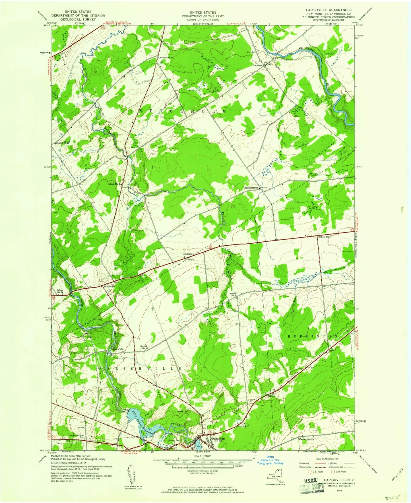
Classic USGS Parishville New York 7.5'x7.5' Topo Map
Couldn't load pickup availability
Historical USGS topographic quad map of Parishville in the state of New York. Map scale may vary for some years, but is generally around 1:24,000. Print size is approximately 24" x 27"
This quadrangle is in the following counties: St. Lawrence.
The map contains contour lines, roads, rivers, towns, and lakes. Printed on high-quality waterproof paper with UV fade-resistant inks, and shipped rolled.
Contains the following named places: Alder Meadow Brook, Allen Falls, Allen Falls Reservoir, Barton Brook, Beechertown, Buckton, Catherineville, Chapel Hill Cemetery, Converse, Dan Wright Brook, Fairview Cemetery, Hillcrest Cemetery, Parishville, Parishville Census Designated Place, Parishville Post Office, Parishville Volunteer Fire Company Station 1, Parishville-Hopkinton School, Rosenbarker Brook, Saint Lawrence State Forest Number 2, Saint Lawrence State Forest Number 31, School Number 1, School Number 19, School Number 2, School Number 25, School Number 3, School Number 6, School Number 9, Southville, Town of Stockholm, Union Cemetery