MyTopo
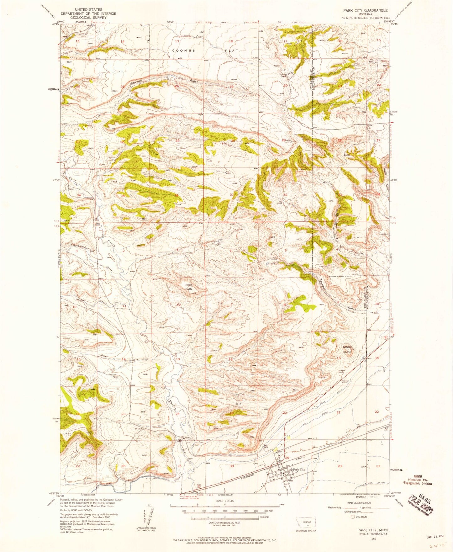
Classic USGS Park City Montana 7.5'x7.5' Topo Map
Couldn't load pickup availability
Historical USGS topographic quad map of Park City in the state of Montana. Map scale may vary for some years, but is generally around 1:24,000. Print size is approximately 24" x 27"
This quadrangle is in the following counties: Stillwater, Yellowstone.
The map contains contour lines, roads, rivers, towns, and lakes. Printed on high-quality waterproof paper with UV fade-resistant inks, and shipped rolled.
Contains the following named places: 01S22E14CBBB01 Well, 02S23E09BBAC01 Well, 02S23E10CDDB01 Well, 02S23E15CDBB01 Well, 02S23E16DADD01 Well, 02S23E20ADDC01 Well, 02S23E21CCCC01 Well, 02S23E27BABB01 Well, 02S23E28CBBC01 Well, 02S23E29BDAC01 Well, 02S23E29BDAD01 Well, 02S23E30CCCC01 Well, 59063, Benedict Gulch, Cottonwood Creek, Dry Creek, Indian Gulch, Italian Ditch, Miller Butte, Old Mill Ditch, Park City, Park City Ambulance, Park City Baptist Church, Park City Catholic Church, Park City Census Designated Place, Park City Methodist Church, Park City Post Office, Park City Rural Fire District - Park City Volunteer Fire Department, Park City School, Pioneer Cemetery, Saint Paul Lutheran Church, Sawmill Gulch, Square Butte, Swamp Creek


