MyTopo
Classic USGS Park Lake Montana 7.5'x7.5' Topo Map
Regular price
$16.95
Regular price
Sale price
$16.95
Unit price
per
Couldn't load pickup availability
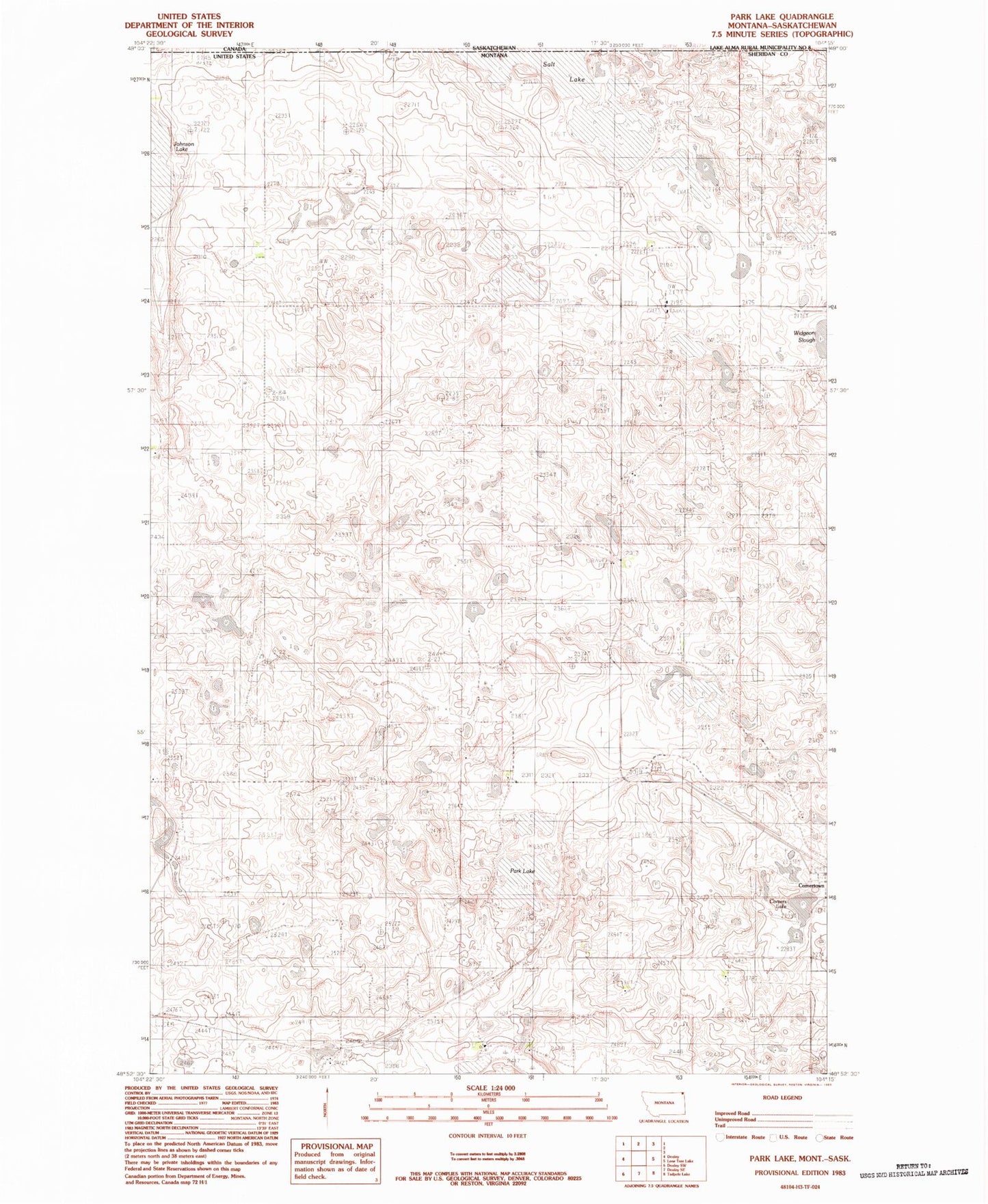
Historical USGS topographic quad map of Park Lake in the state of Montana. Map scale may vary for some years, but is generally around 1:24,000. Print size is approximately 24" x 27"
This quadrangle is in the following counties: Sheridan.
The map contains contour lines, roads, rivers, towns, and lakes. Printed on high-quality waterproof paper with UV fade-resistant inks, and shipped rolled.
Contains the following named places: 36N57E09CACB01 Well, Comer Park, Comers Lake, Comertown, Comertown School, Dooley Cemetery, Frog Springs Post Office, Johnson Lake, McCall - Gibson Cemetery, Park Lake, Salt Lake, Zion Lutheran Church