MyTopo
Classic USGS Park Lake Washington 7.5'x7.5' Topo Map
Regular price
$16.95
Regular price
Sale price
$16.95
Unit price
per
Couldn't load pickup availability
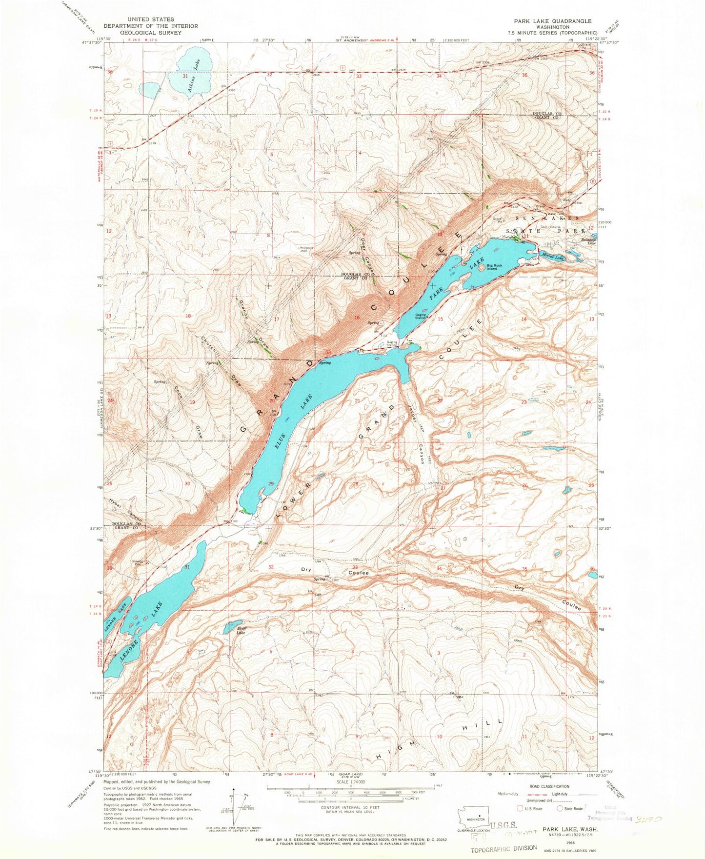
Historical USGS topographic quad map of Park Lake in the state of Washington. Map scale may vary for some years, but is generally around 1:24,000. Print size is approximately 24" x 27"
This quadrangle is in the following counties: Douglas, Grant.
The map contains contour lines, roads, rivers, towns, and lakes. Printed on high-quality waterproof paper with UV fade-resistant inks, and shipped rolled.
Contains the following named places: Alkali Lake, Atkins Lake, Baird, Big Rock Island, Blue Lake, Bluff Lake, Churchill Draw, Cook Draw, Deer Canyon, Dry Coulee, Granny Draw, Hybel Canyon, Jasper Canyon, Lenore Game Range, Meadow Creek, Mirror Lake, Park Lake