MyTopo
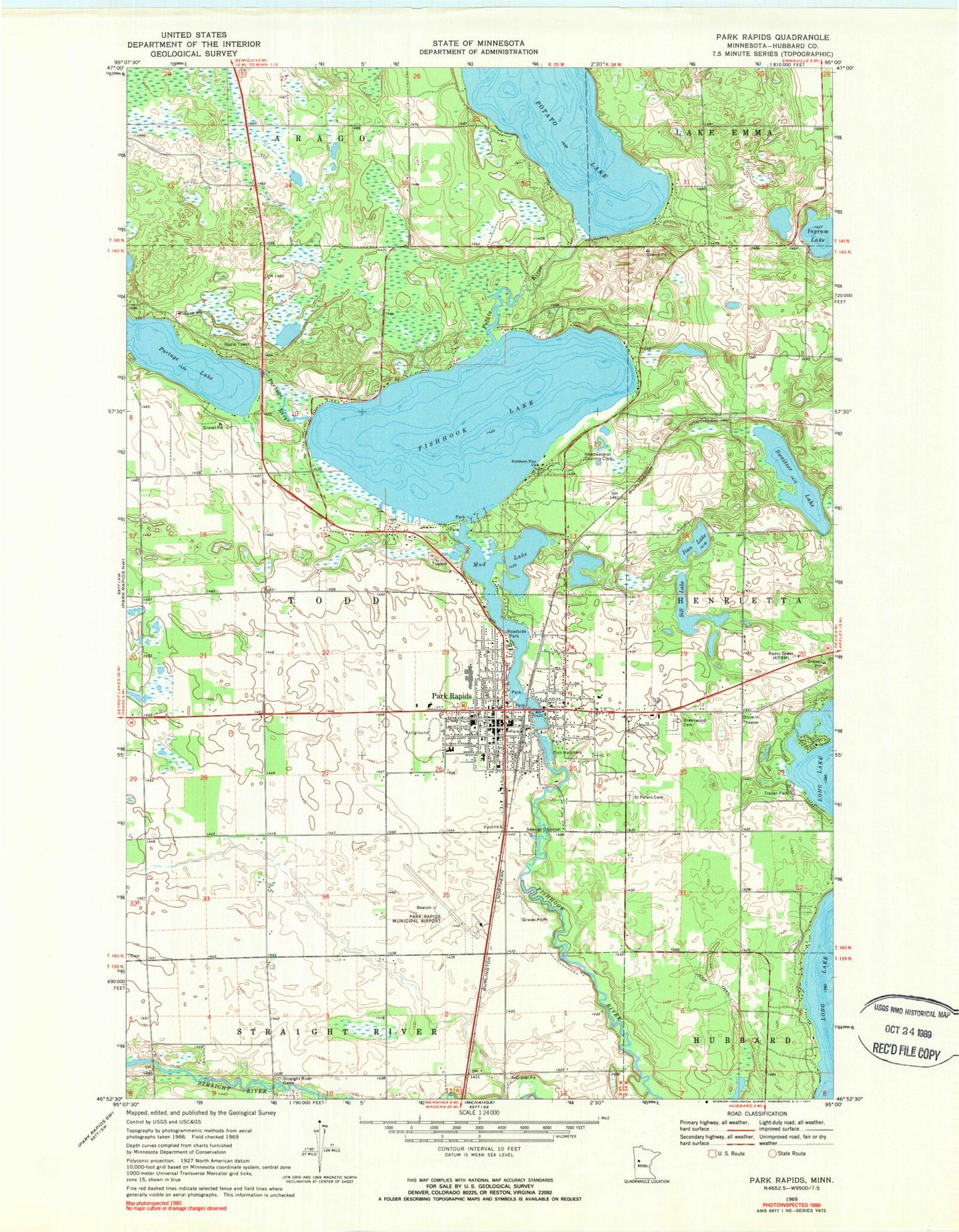
Classic USGS Park Rapids Minnesota 7.5'x7.5' Topo Map
Couldn't load pickup availability
Historical USGS topographic quad map of Park Rapids in the state of Minnesota. Map scale may vary for some years, but is generally around 1:24,000. Print size is approximately 24" x 27"
This quadrangle is in the following counties: Hubbard.
The map contains contour lines, roads, rivers, towns, and lakes. Printed on high-quality waterproof paper with UV fade-resistant inks, and shipped rolled.
Contains the following named places: All Veterans Memorial, Assemblies of God Church, Big Pines Tent and RV Park, Calvary Lutheran Church, CHI Saint Joseph's Health, Church of Christ, Church of the Nazarene, City of Park Rapids, Dakota Clinic - Park Rapids, Deane Park, Faith Church, First Baptist Christian School, First Baptist Church, Fish Hook Lake Wayside Park, Fish Hook River Dam, Fish Hook River Reservoir, Fishhook Lake, Frank White Elementary School, Green Acres, Greenwood Cemetery, Headwaters Country Club, Heartland Park, Hubbard County Courthouse, Hubbard County Detention Center, Hubbard County Fairgrounds, Hubbard County Historical Museum, Hubbard County Sheriff's Office, Ingram Lake, Ivan Lake, KDKK-FM (Park Rapids), KPRM-AM (Park Rapids), Minnesota State Fish Hatchery, Mud Lake, New Century School, New Life Christian Fellowship, North Ambulance Park Rapids, Northern Pine Church, Park Estates, Park Rapids, Park Rapids Fire Department, Park Rapids High School, Park Rapids Municipal Airport-Konshok Field, Park Rapids Police Department, Park Rapids Post Office, Park Rapids Public Library, Park Rapids Railroad Station, Portage Lake, Portage Lake Dam, Portage River, Potato Lake, Potato Lake Dam, Potato River, Riverside United Methodist Church, Saint John's Lutheran Church, Saint Peter the Apostle Catholic Cemetery, Saint Peter's Catholic Church, Sill Lake, Silver Star Festival Park, Skoe Park, Spruce Hill Campgrounds, Straight River Cemetery, Sweitzer Lake, Township of Todd, Trinity Episcopal Church, Up North Mall, Vern's Trailer Court


