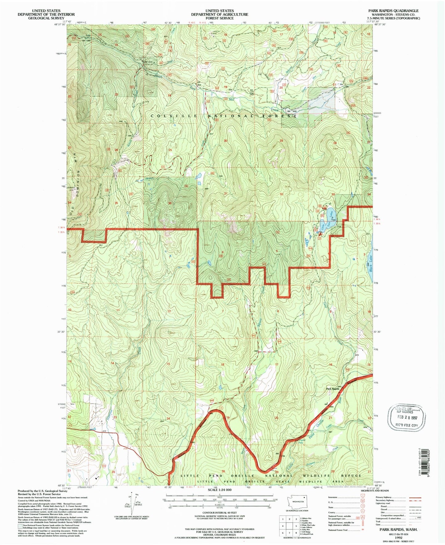
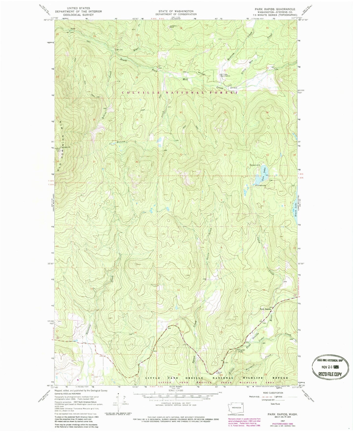
MyTopo
Classic USGS Park Rapids Washington 7.5'x7.5' Topo Map
Couldn't load pickup availability
Historical USGS topographic quad map of Park Rapids in the state of Washington. Map scale may vary for some years, but is generally around 1:24,000. Print size is approximately 24" x 27"
This quadrangle is in the following counties: Stevens.
The map contains contour lines, roads, rivers, towns, and lakes. Printed on high-quality waterproof paper with UV fade-resistant inks, and shipped rolled.
Contains the following named places: Bestrom Creek, Black Lake, Camp Creek, Cedar Creek, Crystal Falls, Dominion, Green Mountain Creek, Hanson Creek, Kegel Creek, Little Twin Lakes, Little Twin Lakes Dam, Little Twin Lakes Recreation Area, Longshot Mine, Mill Creek Guard Station, Old Dominion Mountain, Park Rapids, Prospect Creek, Robins Creek, Squaw Creek School