MyTopo
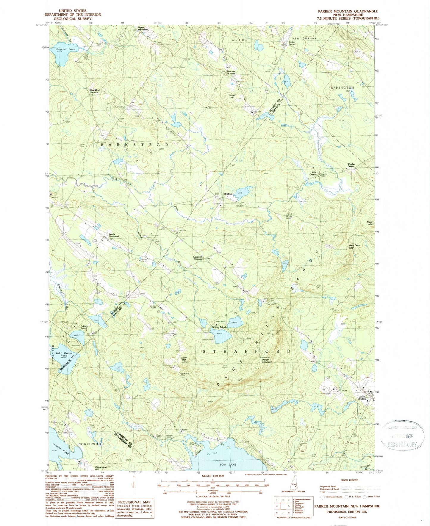
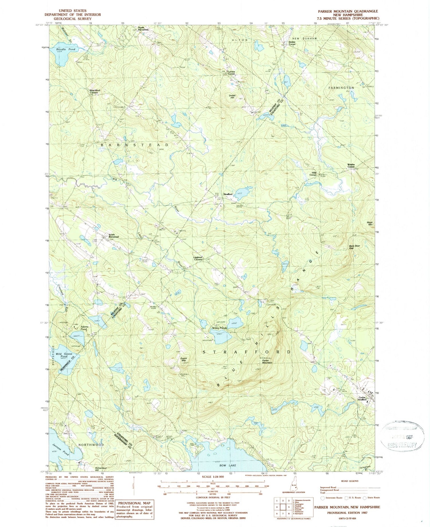
Classic USGS Parker Mountain New Hampshire 7.5'x7.5' Topo Map
Couldn't load pickup availability
Historical USGS topographic quad map of Parker Mountain in the state of New Hampshire. Typical map scale is 1:24,000, but may vary for certain years, if available. Print size: 24" x 27"
This quadrangle is in the following counties: Belknap, Merrimack, Rockingham, Strafford.
The map contains contour lines, roads, rivers, towns, and lakes. Printed on high-quality waterproof paper with UV fade-resistant inks, and shipped rolled.
Contains the following named places: Adams Pond, Austin Cate Academy, Barn Door Gap, Blue Hills Range, Brindle Pond, Camp Foss, Center Strafford, Dexter Corner, Drews Hill, Evans Mountain, Jenness Pond, Leighton Corners, Little River, Lockes Corner, Memorial Chapel, North Barnstead, Parker Mountain, Parker Mountain Camp, Shackford Corners, Shinglemill Brook, South Barnstead, Strafford, Trinity Camp, Wild Goose Pond, Willey Ponds, Hills Corner, Welshs Corner, Town of Strafford, Drew Cemetery, Holmes Cemetery, Huckins Cemetery, Jones Cemetery, McNeal Cemetery, Perkins Cemetery, Sanders Ledge, Scott Cemetery, Strafford Post Office, Strafford School, Third Free Will Baptist Church, Strafford Police Department


