MyTopo
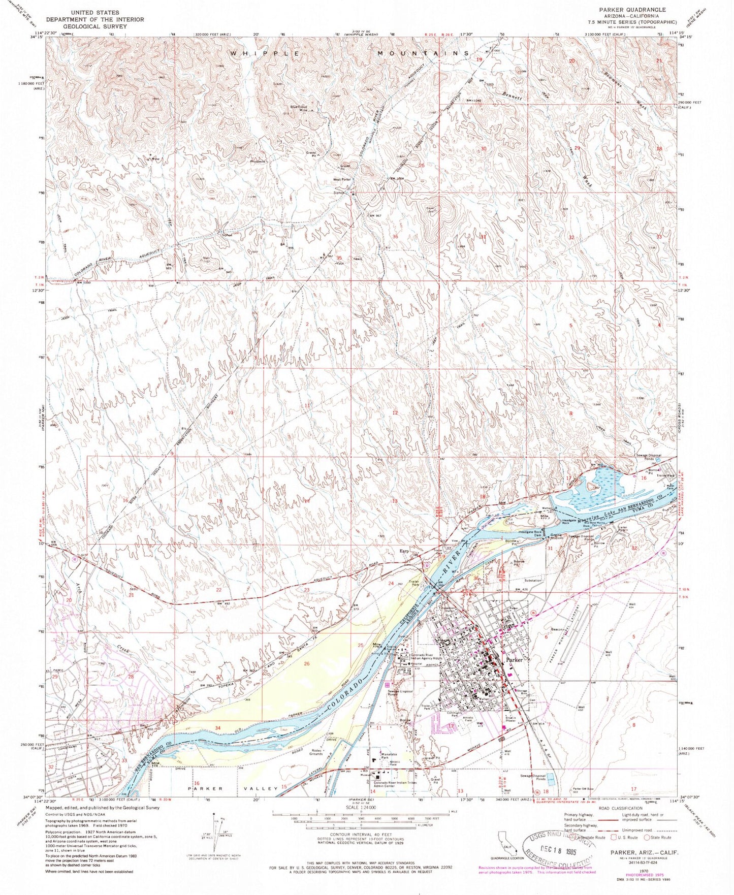
Classic USGS Parker Arizona 7.5'x7.5' Topo Map
Couldn't load pickup availability
Historical USGS topographic quad map of Parker in the states of Arizona, California. Map scale may vary for some years, but is generally around 1:24,000. Print size is approximately 24" x 27"
This quadrangle is in the following counties: La Paz, San Bernardino.
The map contains contour lines, roads, rivers, towns, and lakes. Printed on high-quality waterproof paper with UV fade-resistant inks, and shipped rolled.
Contains the following named places: Arch Creek, Arizona Agricultural Inspection Station, Avi Suquilla Airport, Big River, Big River Census Designated Place, Blake Primary School, Blue Cloud Mine, Blue Water Marina Park, Bluewater, Bluewater Census Designated Place, Church of Christ, Colorado River Indian Agency Headquarters, Colorado River Indian Tribes Administration, Colorado River Water Pollution Control Center, Earp, Earp Post Office, First Baptist Church, Grace Assembly of God Parker, Headgate Rock, Headgate Rock Dam, Kingdom Hall of Jehovahs Witnesses, KLPZ-AM (Parker), KMDX-FM (Parker), KZUL-AM (Parker), La Paz County Courthouse, La Paz County Jail, La Paz County Sheriff's Office, La Paz Regional Hospital, Lazy D Mobile Home Park, Manataba Park, Messiah Lutheran Church, Moovalya Lake, Parker, Parker Apostolic Church, Parker City Hall, Parker Community Hospital Heliport, Parker Fire Department, Parker High School, Parker Municipal Airport, Parker Post Office, Parker Public Health Services Indian Hospital Colorado River Service Unit, Parker Public Library, Parker Rodeo Grounds, Parker Trailer Park, Parker United Methodist Church, Pop Harvey Park, Sacred Heart Parish, San Bernardino County Fire Department Station 17 - Big River, San Bernardino County Sheriff, Wallace Elementary School, Wallace Junior High School, West Portal, Western Park, ZIP Code: 92242


