MyTopo
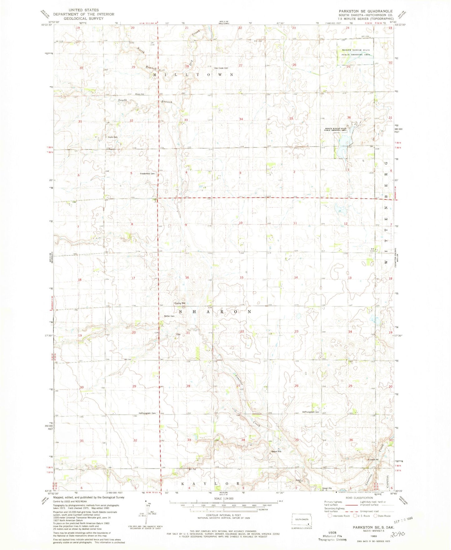
Classic USGS Parkston SE South Dakota 7.5'x7.5' Topo Map
Couldn't load pickup availability
Historical USGS topographic quad map of Parkston SE in the state of South Dakota. Map scale may vary for some years, but is generally around 1:24,000. Print size is approximately 24" x 27"
This quadrangle is in the following counties: Hutchinson.
The map contains contour lines, roads, rivers, towns, and lakes. Printed on high-quality waterproof paper with UV fade-resistant inks, and shipped rolled.
Contains the following named places: Bethel 2 Cemetery, Drei Creek Cemetery, Friedenfeld Cemetery, Hoffnugstahl Cemetery, Hoffnungstahl Cemetery, Hutchinson County, Kulm Cemetery, Kulm School, Mogck Slough State Public Shooting Area, North Branch Dry Creek, South Branch Dry Creek, Township of Sharon, Weiger Slough State Public Shooting Area