MyTopo
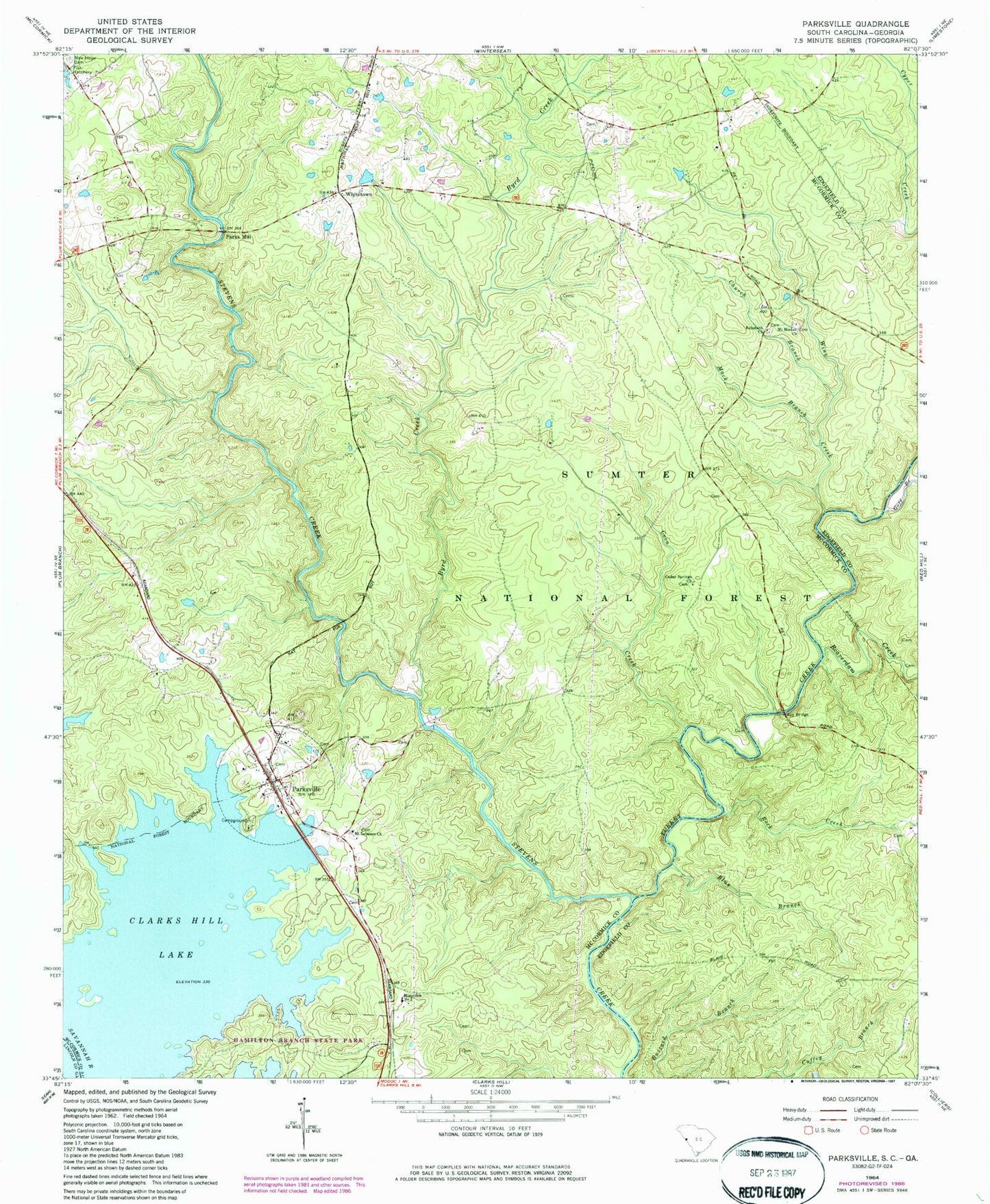
Classic USGS Parksville South Carolina 7.5'x7.5' Topo Map
Couldn't load pickup availability
Historical USGS topographic quad map of Parksville in the state of South Carolina. Map scale may vary for some years, but is generally around 1:24,000. Print size is approximately 24" x 27"
This quadrangle is in the following counties: Edgefield, Lincoln, McCormick.
The map contains contour lines, roads, rivers, towns, and lakes. Printed on high-quality waterproof paper with UV fade-resistant inks, and shipped rolled.
Contains the following named places: Beaverdam Creek, Bethany, Blue Branch, Busseys Ferry, Byrd Creek, Byrd Creek Rifle Range, Callihams Mill Church, Cedar Springs Church, Cedar Springs School, Church Branch, Coon Creek, Goff Branch, Hamilton Branch Campground, Hamilton Branch State Park, Key Bridge, Key Bridge Hunt Camp, Mack Branch, Mims School Number 2, Mount Lebanon Church, Mount Lebanon School, Mount Moriah Church, Mount Moriah School, New Hope Cemetery, Old Rohoboth Cemetery, Parks Mill, Parksville, Parksville Baptist Church, Parksville Cemetery, Parksville Division, Parksville Methodist Church, Parksville Recreation Area, Parksville Volunteer Fire Deptartment Station 40, Parksville Wayside Park, Prices Mill, Rehoboth Church, Ritchentown School, Rock Creek, Rock Grove School, Rohoboth Cemetery, Town of Parksville, Turkey Creek, Turkey Creek Hiking Trail, Upper Price Mill, Whitetown, Whitetown School, Wine Creek, ZIP Codes: 29844, 29845