MyTopo
Classic USGS Parkton North Carolina 7.5'x7.5' Topo Map
Couldn't load pickup availability
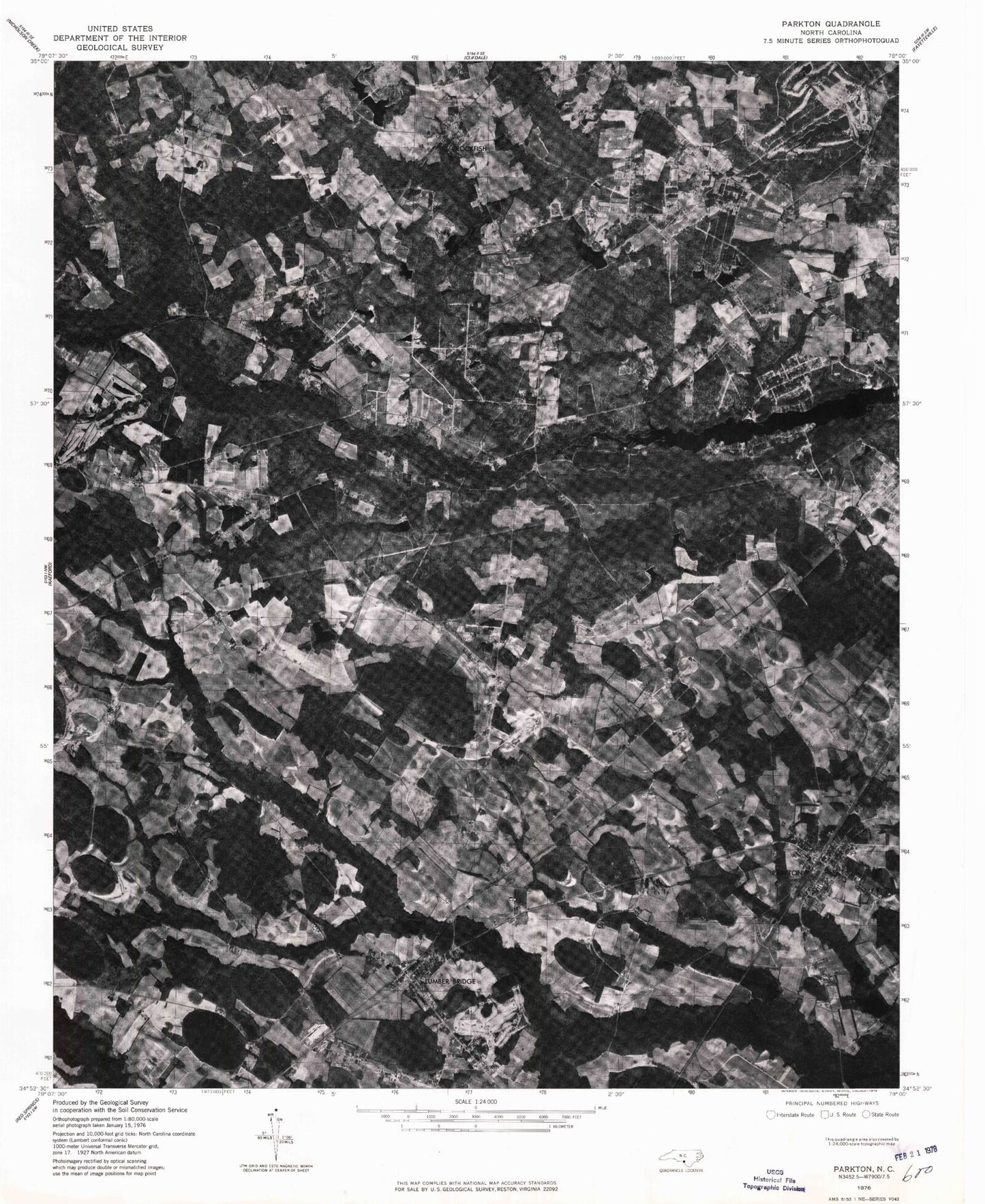
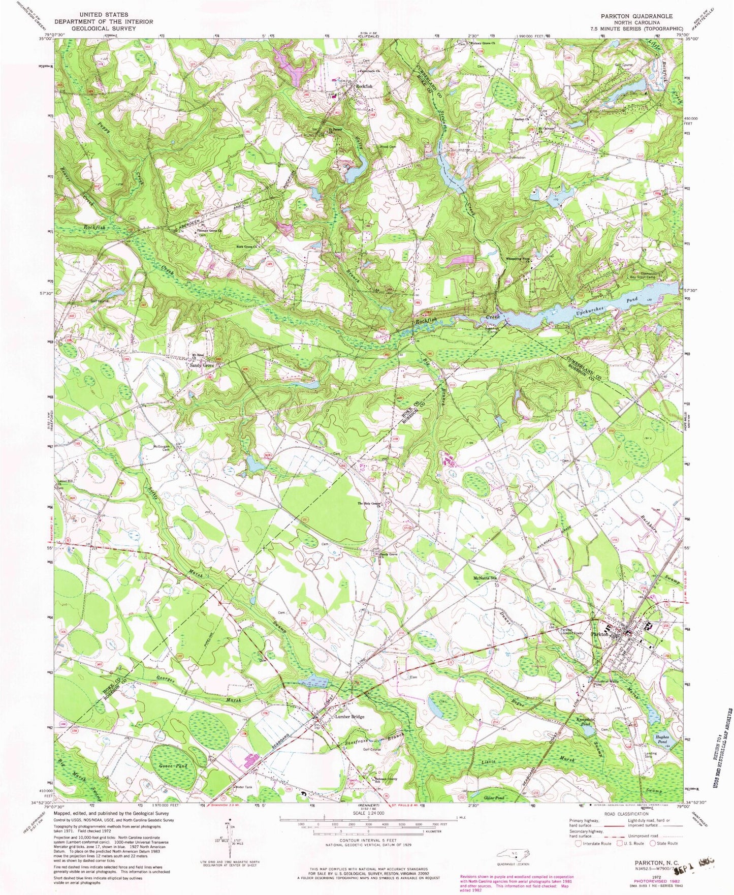
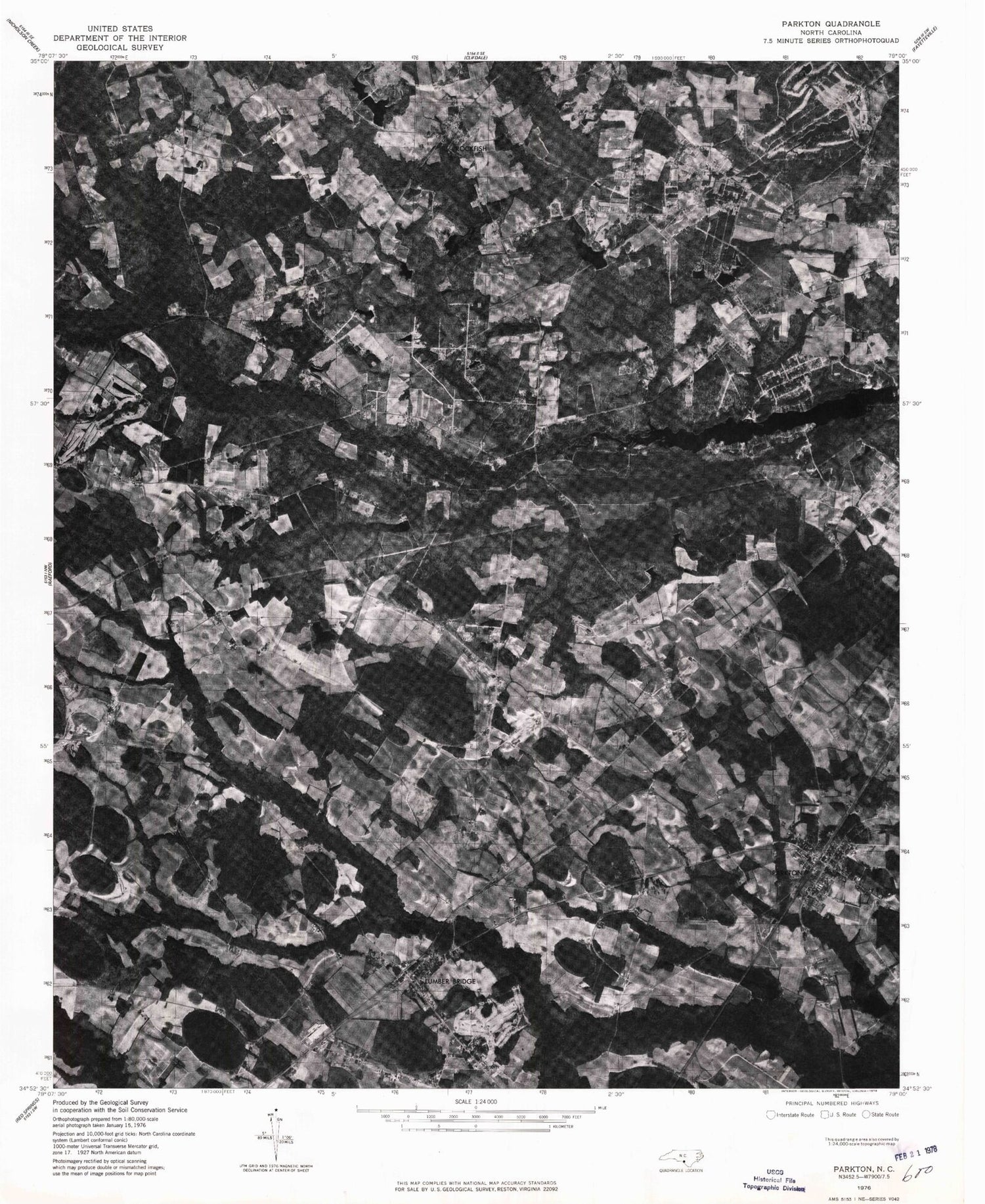
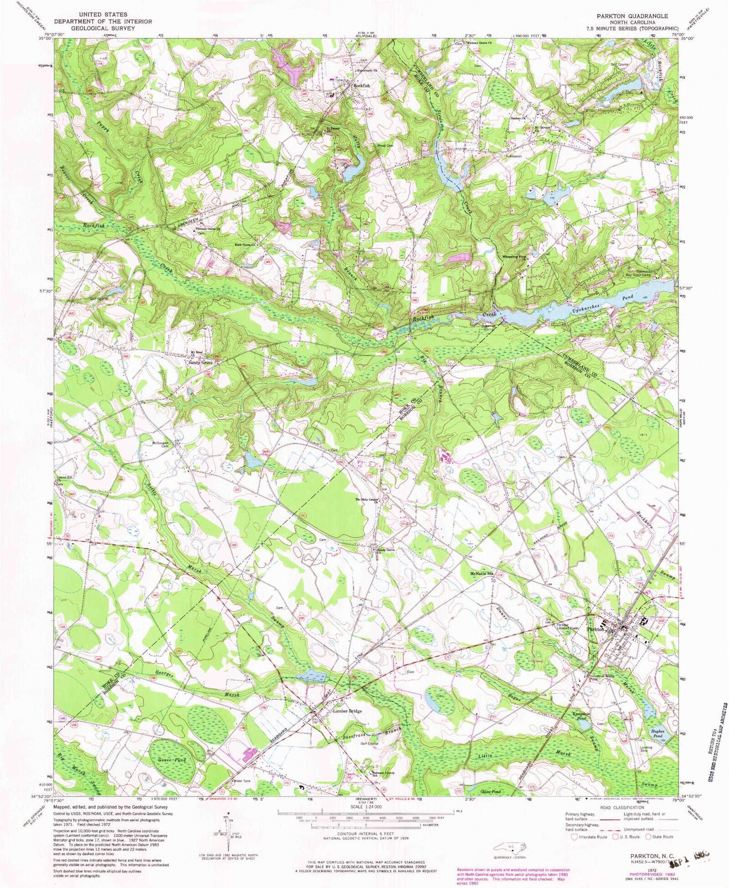
Historical USGS topographic quad map of Parkton in the state of North Carolina. Map scale may vary for some years, but is generally around 1:24,000. Print size is approximately 24" x 27"
This quadrangle is in the following counties: Cumberland, Hoke, Robeson.
The map contains contour lines, roads, rivers, towns, and lakes. Printed on high-quality waterproof paper with UV fade-resistant inks, and shipped rolled.
Contains the following named places: Barbours Lake, Barbours Lake Dam, Bashan Church, Beaver Creek, Big Branch, Bogue Swamp, E T Field, Frazier Branch, Georges Marsh, Goose Pond, Gully Branch, Hall Field, Hickman Creek, Hickory Grove Church, Hughes Pond, Irongate Golf Course Lake Dam, James D McGougan Dam, Kings Pond, Kings Pond Dam, Knapdale Pond, Laurel Hill Church, Lumber Bridge, Lumber Bridge Post Office, Lumber Bridge Volunteer Fire Department, McGougan Cemetery, McNatts Station, Mount Calvary Church, Mount Sinai Church, Parkton, Parkton K-12 School, Parkton Lookout Tower, Parkton Police Department, Parkton Post Office, Parkton Rescue Squad, Parkton Volunteer Fire Department, Pittman Grove Church, Puppy Creek, Robeson County School, Rock Grove Church, Rockfish, Rockfish Camp, Rockfish Census Designated Place, Rockfish Fire Department - Station 2, Saint Peters Church, Sandy Grove, Sandy Grove Church, Sassfrass Branch, Stewarts Creek, Stoney Point Fire Department - Lake Upchurch Station, Stoney Point Fire Department - Station 13, Summerwinds Mobile Home Park, Tabernacle Church, The Holy Center Church, Town of Lumber Bridge, Town of Parkton, Township of Lumber Bridge, Upchurch Boy Scout Camp, Upchurches Pond, Upchurches Pond Dam, Whispering Pines Church, Wood Cemetery, ZIP Code: 28357


