MyTopo
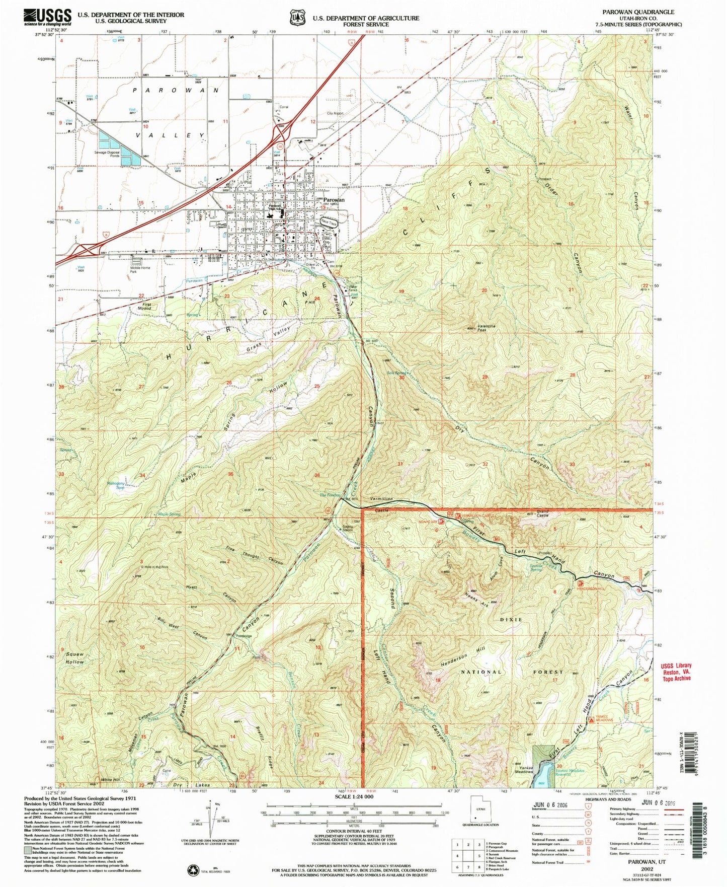
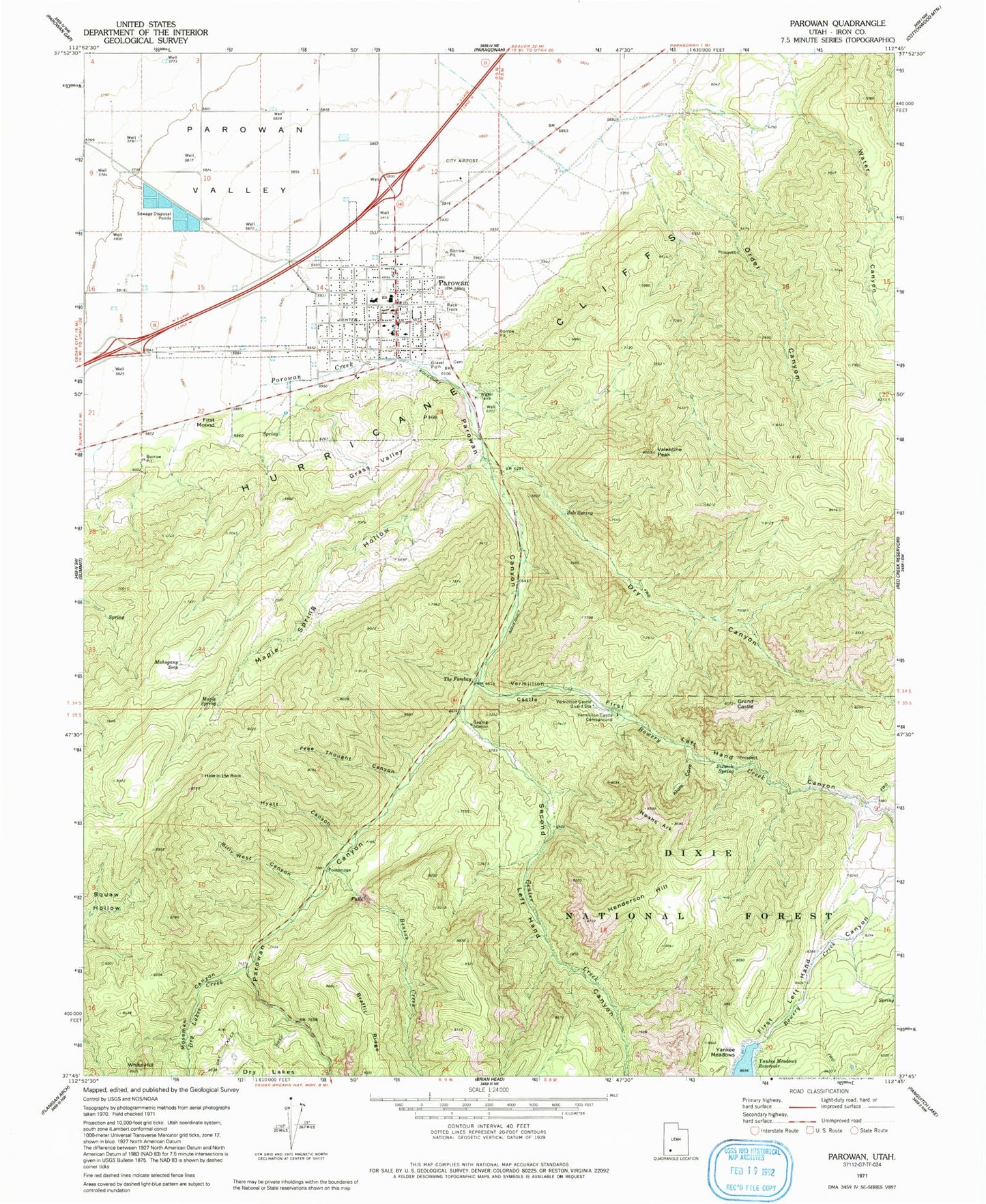
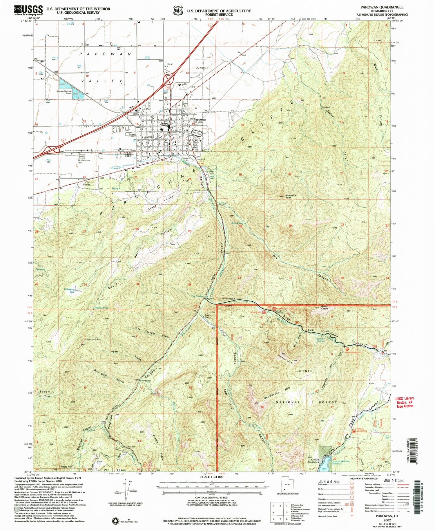
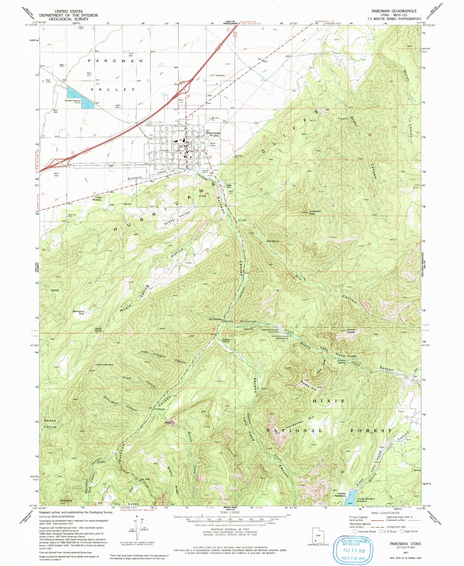
Classic USGS Parowan Utah 7.5'x7.5' Topo Map
Couldn't load pickup availability
Historical USGS topographic quad map of Parowan in the state of Utah. Map scale may vary for some years, but is generally around 1:24,000. Print size is approximately 24" x 27"
This quadrangle is in the following counties: Iron.
The map contains contour lines, roads, rivers, towns, and lakes. Printed on high-quality waterproof paper with UV fade-resistant inks, and shipped rolled.
Contains the following named places: Alum Cove, Assembly of Jesus Christ, Benson Creek, Billy West Canyon, Bowery Creek, Boy Scouts of America Camp, Center Creek, City of Parowan, Dry Canyon, Dry Lakes Creek, First Left Hand Canyon, First Mound, Free Thought Canyon, Grand Castle, Grass Valley, Henderson Hill, Hole in the Rock, Hyatt Canyon, Iron County Ambulance - Parowan, Mahogany Seep, Maple Spring, Maple Spring Hollow, Moseman Canyon, Noahs Ark, Order Canyon, P Hill, Parowan, Parowan Airport, Parowan Canyon, Parowan City Cemetery, Parowan Elementary School, Parowan Fire Department, Parowan High School, Parowan Police Department, Parowan Post Office, Second Left Hand Canyon, Sixmile Spring, Sols Spring, The Church of Jesus Christ of Latter Day Saints, The Forebay, Valentine Peak, Vermillion Castle, Vermillion Castle Campground, Vermillion Castle Guard Station, Water Canyon, Yankee Meadows, Yankee Meadows Dam, Yankee Meadows Reservoir


