MyTopo
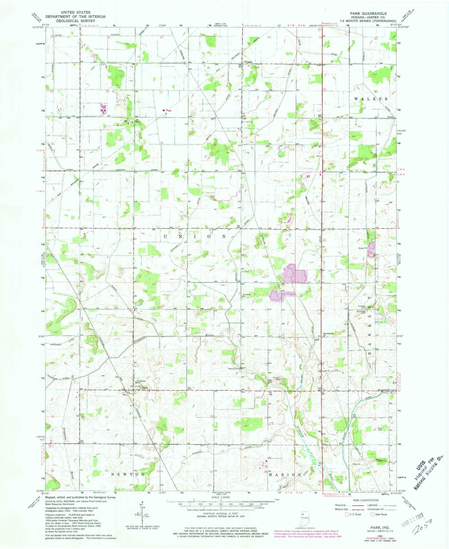
Classic USGS Parr Indiana 7.5'x7.5' Topo Map
Couldn't load pickup availability
Historical USGS topographic quad map of Parr in the state of Indiana. Map scale may vary for some years, but is generally around 1:24,000. Print size is approximately 24" x 27"
This quadrangle is in the following counties: Jasper.
The map contains contour lines, roads, rivers, towns, and lakes. Printed on high-quality waterproof paper with UV fade-resistant inks, and shipped rolled.
Contains the following named places: Aix, Boyle Ditch, Bruner Ditch, Brushwood Church, Davis Ditch, Davison Ditch, Dexter Ditch, Dunkard Cemetery, Haa-guar Shopping Center, Jungles Ditch, Moffitt, Parr, Price Cemetery, Pullin Ditch, Rockwell Ditch, Rosebud, Rowan Ditch, Saint Johns Church, Sandridge Cemetery, State Boulevard Plaza, Stover Ditch, Township of Union, Virgie, Yeoman Cemetery