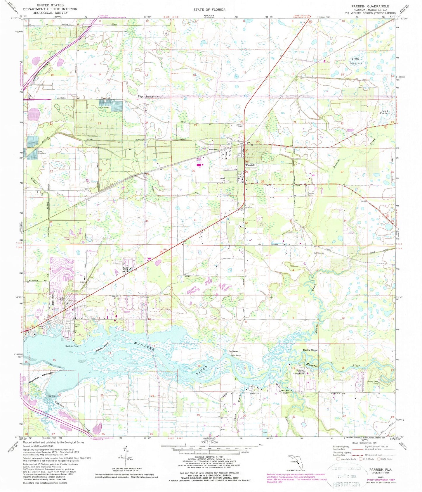
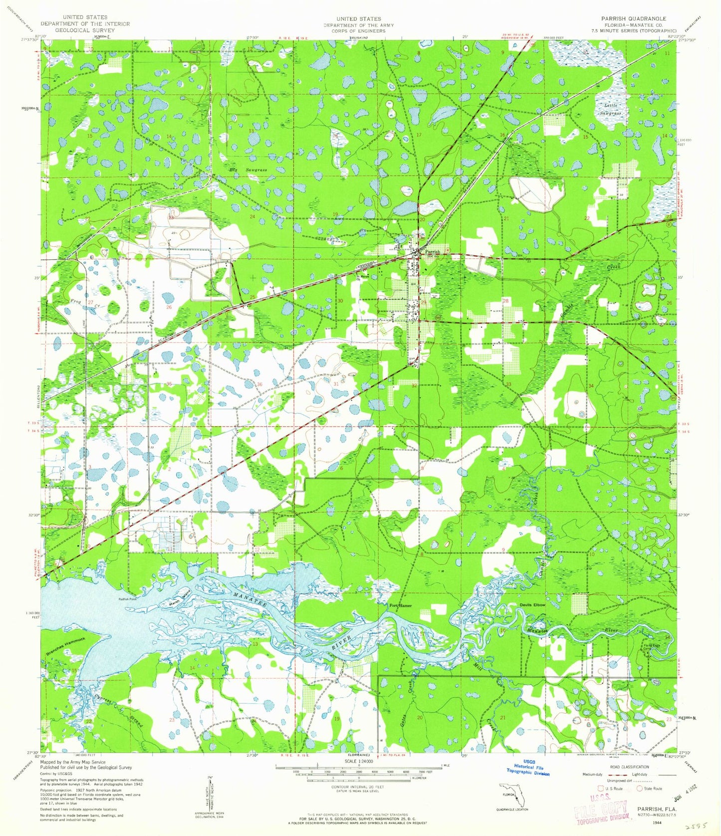
MyTopo
Classic USGS Parrish Florida 7.5'x7.5' Topo Map
Couldn't load pickup availability
Historical USGS topographic quad map of Parrish in the state of Florida. Typical map scale is 1:24,000, but may vary for certain years, if available. Print size: 24" x 27"
This quadrangle is in the following counties: Manatee.
The map contains contour lines, roads, rivers, towns, and lakes. Printed on high-quality waterproof paper with UV fade-resistant inks, and shipped rolled.
Contains the following named places: Big Sawgrass, Branches Hammock, Buffalo Canal, Christian Retreat Campground, Cypress Strand, Devils Elbow, Flying Eagle Camp, Fortner Cemetery, Gamble Creek, Gates Creek, Goddard Creek, Little Sawgrass, Marsh Island, Mill Creek, Mill Creek Church, Parrish, Redfish Point, Saint Marys Church, Wade Canal, Fort Hamer, Erie, Vegetable Railroad Station, Bliss Fire Tower, WDUV-FM (Bradenton), Parrish Fire District, New Hope Baptist Church, North River Fire District Station 4, Ellenton Post Office, Parrish Post Office