MyTopo
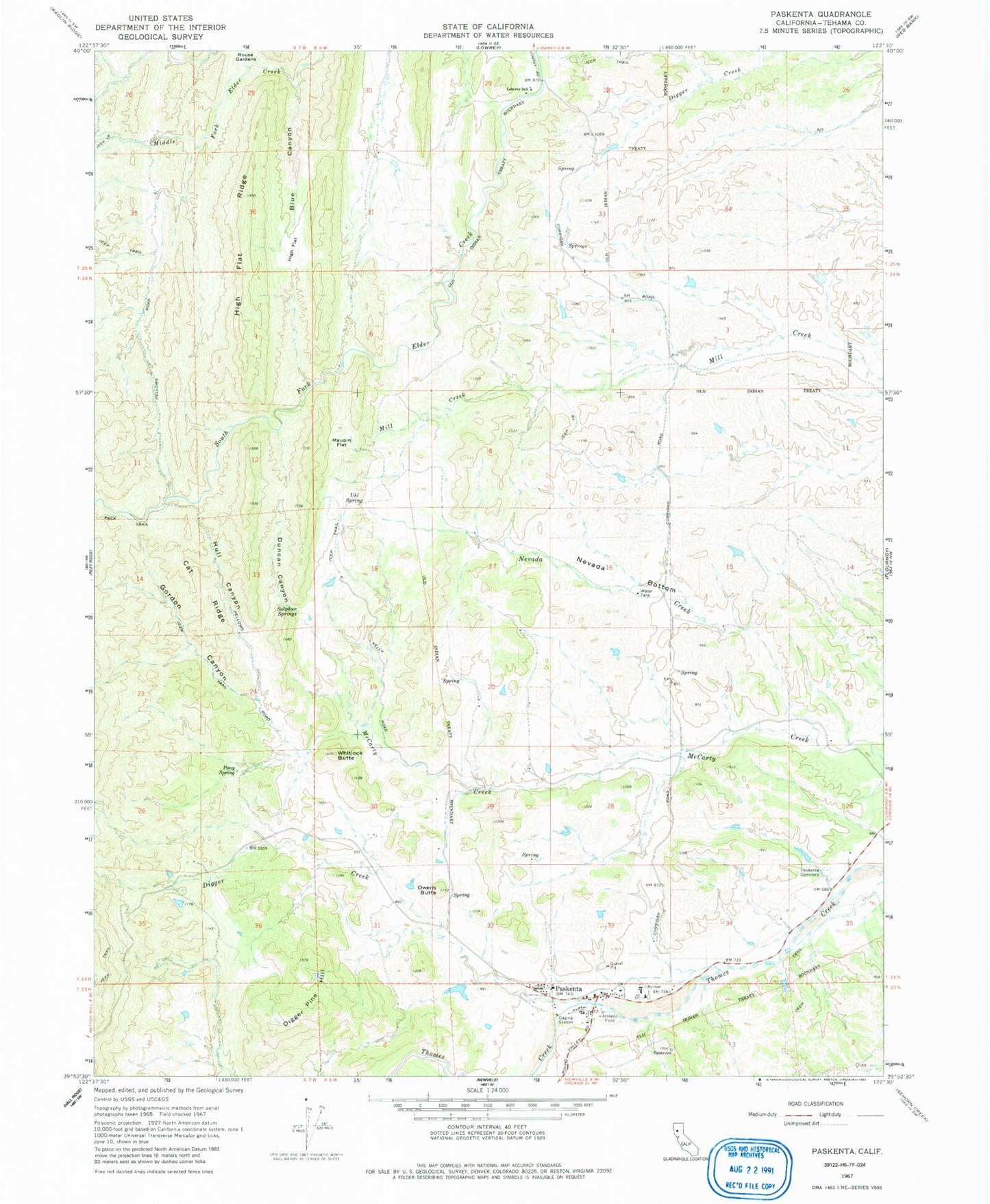
Classic USGS Paskenta California 7.5'x7.5' Topo Map
Couldn't load pickup availability
Historical USGS topographic quad map of Paskenta in the state of California. Map scale may vary for some years, but is generally around 1:24,000. Print size is approximately 24" x 27"
This quadrangle is in the following counties: Tehama.
The map contains contour lines, roads, rivers, towns, and lakes. Printed on high-quality waterproof paper with UV fade-resistant inks, and shipped rolled.
Contains the following named places: Blue Canyon, Cat Ridge, Digger Creek, Digger Pine Hill, Duncan Canyon, Elkins Elementary School, Gordon Canyon, High Flat Ridge, Hull Canyon, Lowrey School, Maupin Flat, Nevada Bottom, Nevada Creek, Owens Butte, Paskenta, Paskenta Cemetery, Paskenta Census Designated Place, Paskenta Post Office, Pony Spring, Rouse Gardens, Salt Creek, Sulphur Springs, Tehama County Fire Department Paskenta, Uhl Spring, Whitlock Butte, ZIP Code: 96074