MyTopo
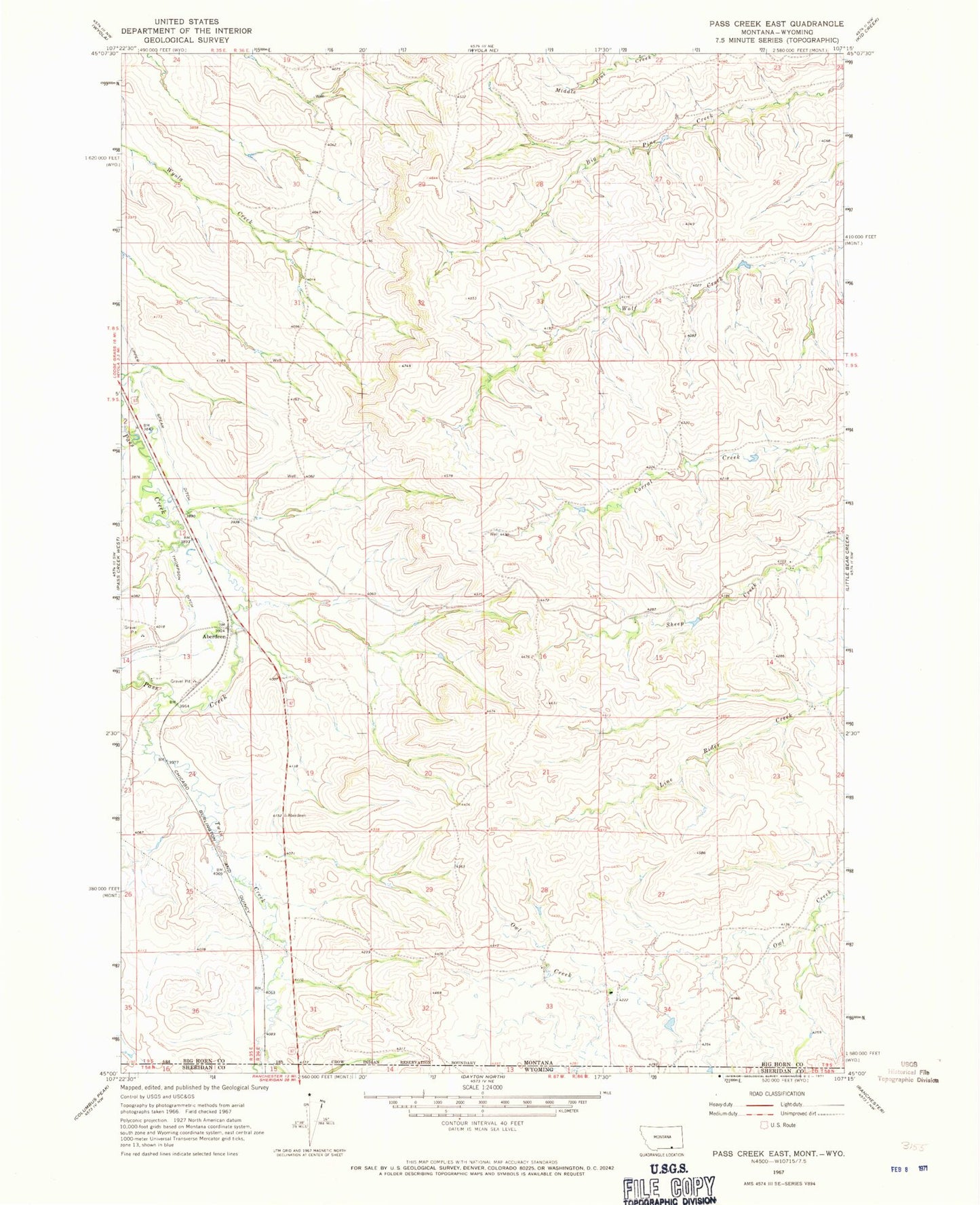
Classic USGS Pass Creek East Montana 7.5'x7.5' Topo Map
Regular price
$16.95
Regular price
Sale price
$16.95
Unit price
per
Couldn't load pickup availability
Historical USGS topographic quad map of Pass Creek East in the state of Montana. Map scale may vary for some years, but is generally around 1:24,000. Print size is approximately 24" x 27"
This quadrangle is in the following counties: Big Horn, Sheridan.
The map contains contour lines, roads, rivers, towns, and lakes. Printed on high-quality waterproof paper with UV fade-resistant inks, and shipped rolled.
Contains the following named places: 09S35E01CBAB01 Well, 09S35E12ACAA01 Well, 09S35E12BABA01 Well, 59089, Aberdeen, Aberdeen School, Thompson Ditch, Twin Creek, Upper Spear Ditch, Wyola Census Designated Place