MyTopo
Classic USGS Passadumkeag Maine 7.5'x7.5' Topo Map
Couldn't load pickup availability
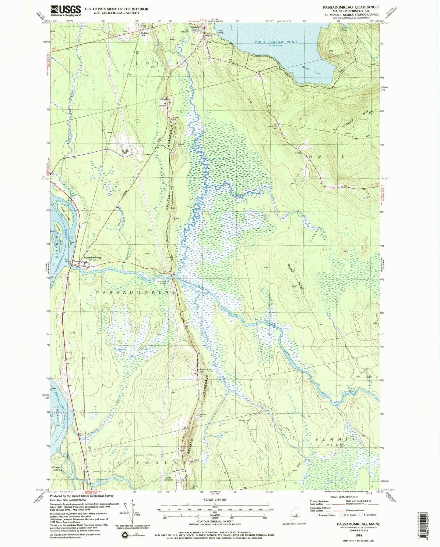
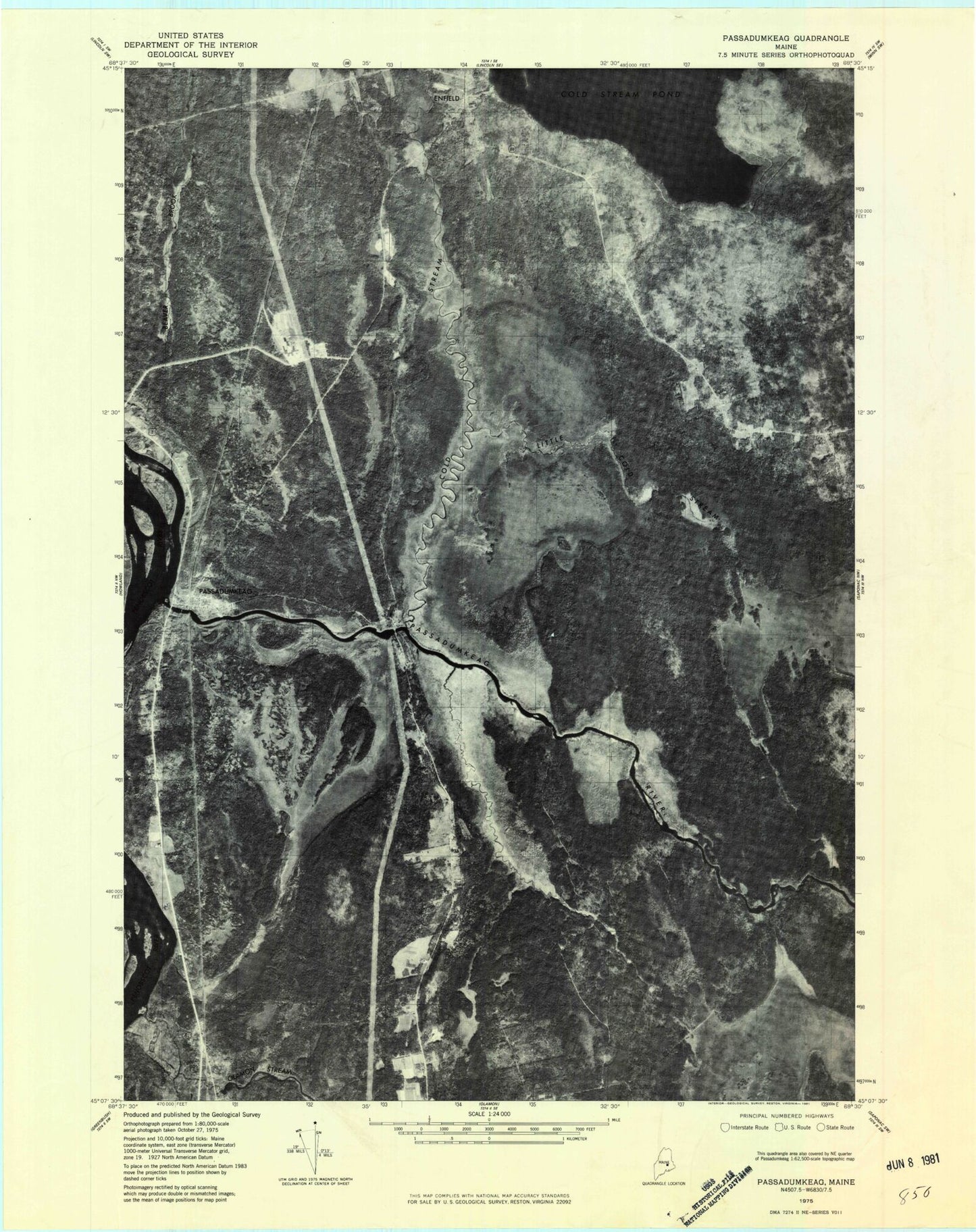
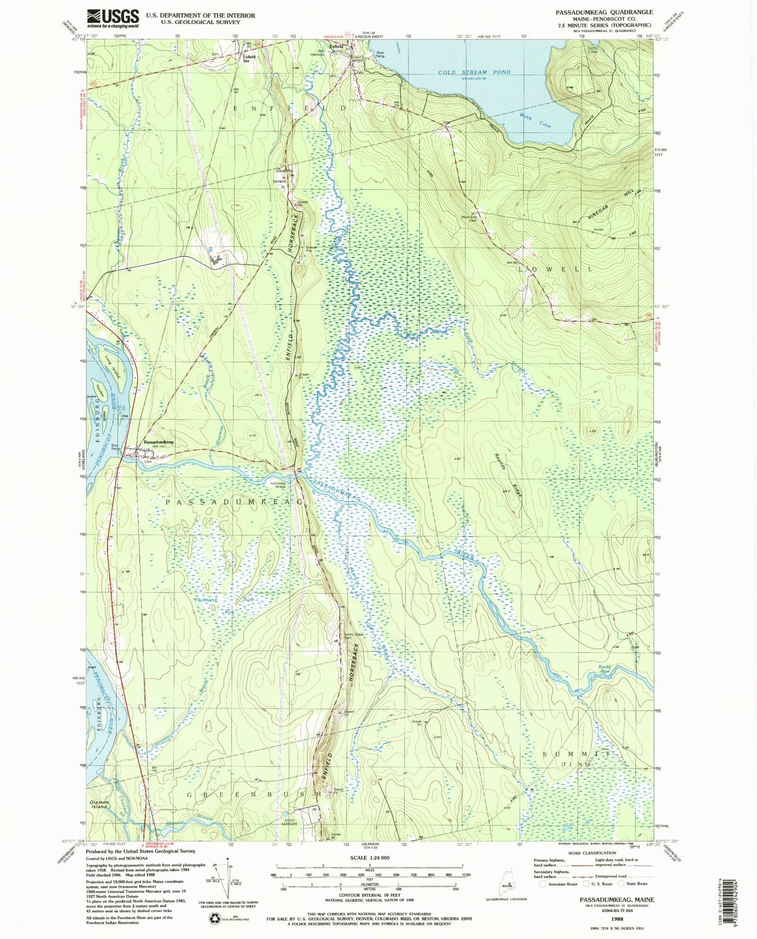
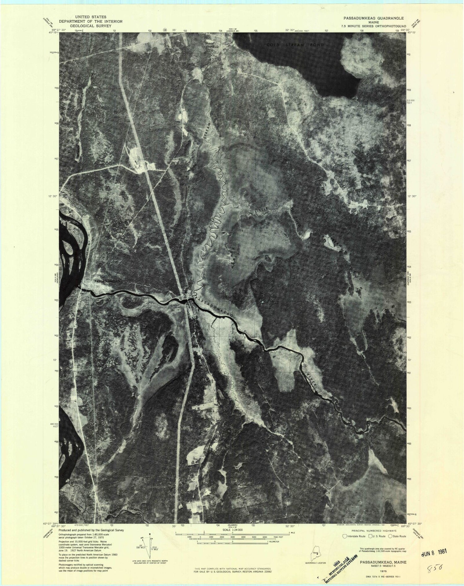
Historical USGS topographic quad map of Passadumkeag in the state of Maine. Typical map scale is 1:24,000, but may vary for certain years, if available. Print size: 24" x 27"
This quadrangle is in the following counties: Penobscot.
The map contains contour lines, roads, rivers, towns, and lakes. Printed on high-quality waterproof paper with UV fade-resistant inks, and shipped rolled.
Contains the following named places: Ayers Brook, Beaver Brook, Brady Brook, Cold Stream, Edgecombe School (historical), Enfield, Enfield Station, Hathaway Bridge, Hog Island, Lancaster Brook, Little Cold Stream, Long Island, Olamon Stream, Onemile Brook, Passadumkeag, Passadumkeag River, Rocky Rips, Roundy Ridge, Goulds Ridge Cemetery, Tarbox Island, Thorofare Islands, Thousand Acre Bog, Webb Cove, West End Cemetery, WPVM-FM (Howland), Town of Passadumkeag, Cold Stream Pond Dam, Olamon Dam, Olamon Stream, Cobb Hatchery, Enfield Station School, Passadumkeag Baptist Church, Passadumkeag Post Office, Passadumkeag Volunteer Fire Department, Applebee Cemetery, Enfield Village Cemetery, Fernald Cemetery, Cole Memorial Library